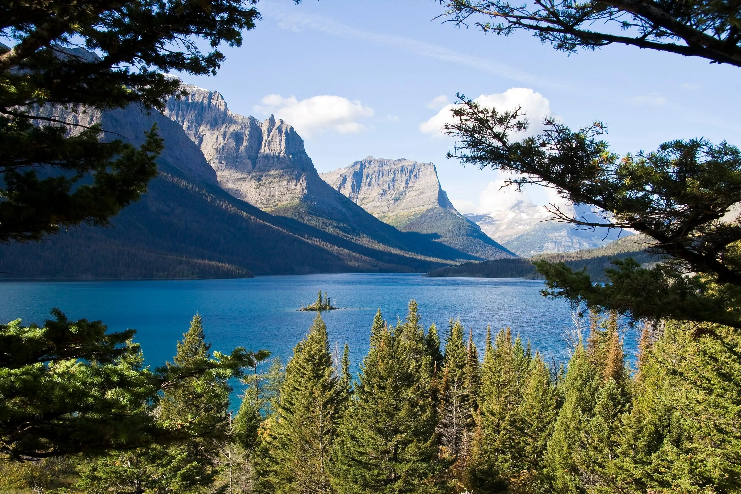

Going-to-the-Sun Road is the day most of our guests come for. Here's how we'd drive it from our door in Woods Bay: which way round, where to stop, and what time to set the alarm.
Which direction should you drive Going-to-the-Sun Road?
From the Flathead side, you start at the west end whether you like it or not: West Glacier is 44 miles, 50 minutes to an hour, from us. Then there are two ways to do the day.
- Out and back to Logan Pass (about 4 hr 20 min of driving from Woods Bay). The easy choice, and the best one for an early start: up to the pass first, then make your stops on the way down.
- The full crossing and the loop home (about about 6 hr of driving). Over the pass to St. Mary, then back on US 2 over Marias Pass and through West Glacier. You see the whole road and the east side's lakes, and it's a long day. It's 93 mi · 2 hr 50 min from us to St. Mary over the road and 129 mi · 2 hr 45 min back on US 2.
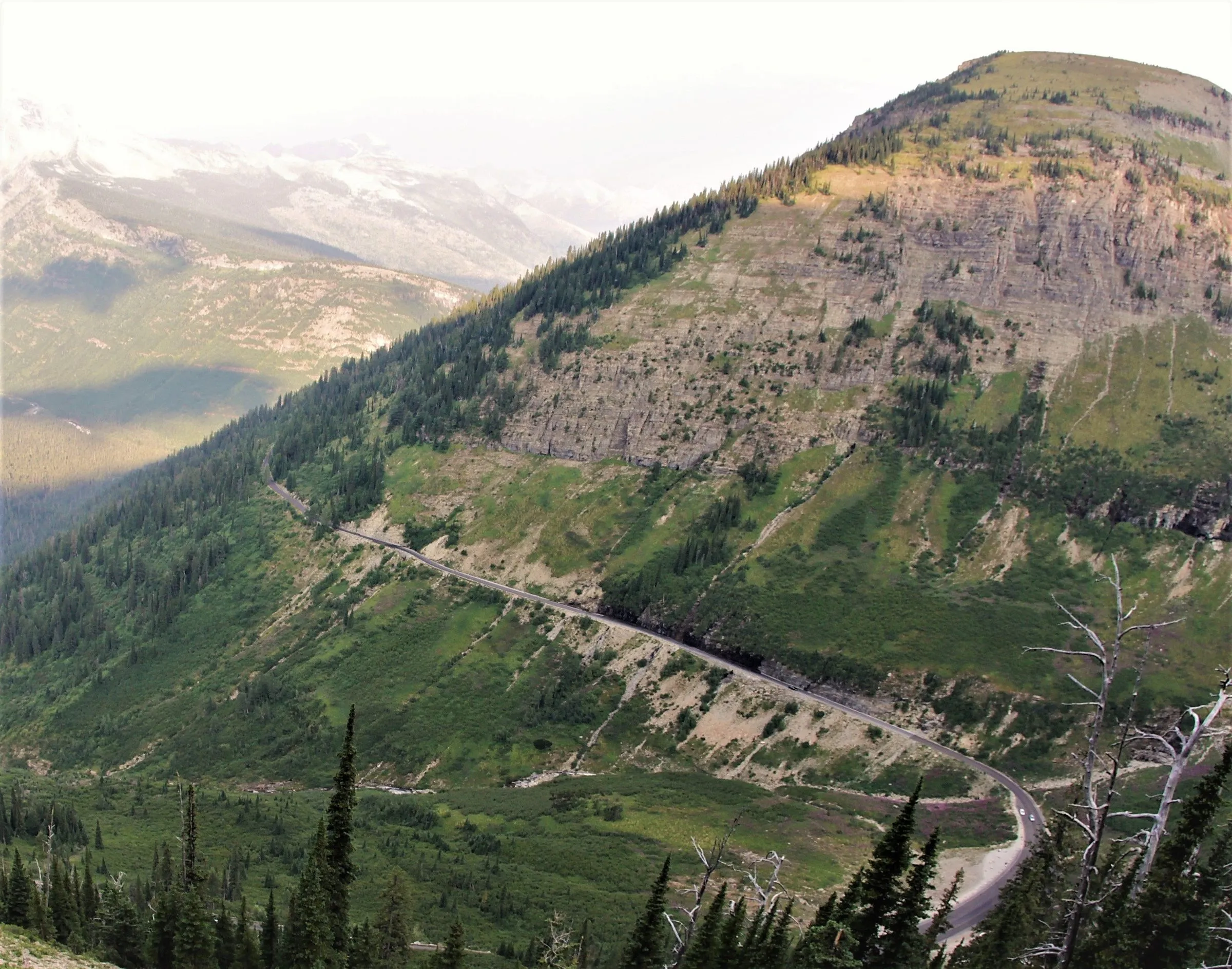
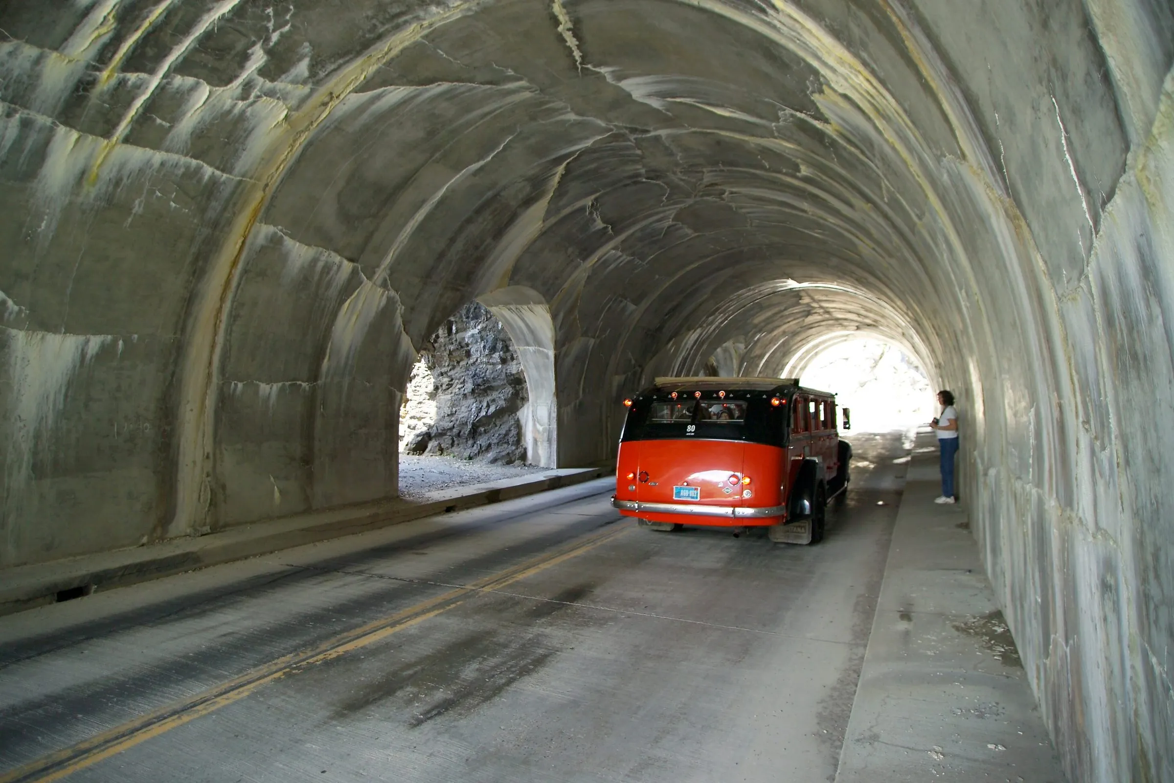
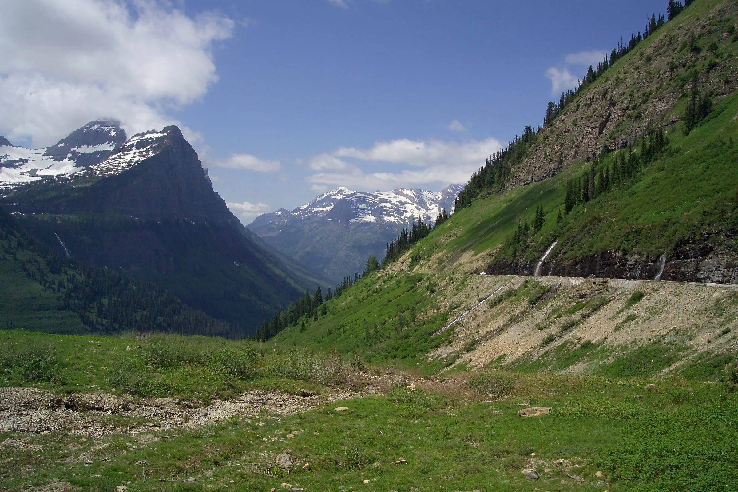
If the drop-offs worry you, there's an argument for doing it the other way: between Logan Pass and The Loop, the westbound (downhill) lane is the inside lane, against the mountain, while eastbound traffic drives on the outside, next to the low stone wall. From the lake, the simple way to get that is the loop in reverse (US 2 to St. Mary first, then west over the pass), which is the same driving time and a later start at Logan Pass.

Vehicle size limits: the 21-foot rule
According to the National Park Service:
- Vehicles and combinations longer than 21 feet (including bumpers) or wider than 8 feet (including mirrors) are prohibited between Avalanche Creek and Rising Sun.
- Vehicles over 10 feet tall may have trouble driving west from Logan Pass to The Loop because of rock overhangs.
- Stock trucks and trailers can reach Packers Roost from the west and Siyeh Bend from the east.
So most cars, SUVs, pickups and small camper vans are fine; most RVs and anything towing aren't. The limit doesn't apply west of Avalanche Creek (so Lake McDonald is fine) or from St. Mary as far as Rising Sun. (A note if you're towing a boat to the lake: we have no room for trailers or RVs at the inn.)
Where to stop, west to east
Times are from our door, without stops or traffic. A dash means a pullout on the way, between the stops around it.
| Stop | From Woods Bay | What's there |
|---|---|---|
| Apgar and the foot of Lake McDonald | 46 mi · 1 hr 5 min | Visitor center, the village, the classic lake-and-peaks view from the shore. Restrooms. |
| Lake McDonald Lodge | 55 mi · 1 hr 20 min | The historic lodge, the camp store and the lakeshore. Sprague Creek picnic area is just before it. |
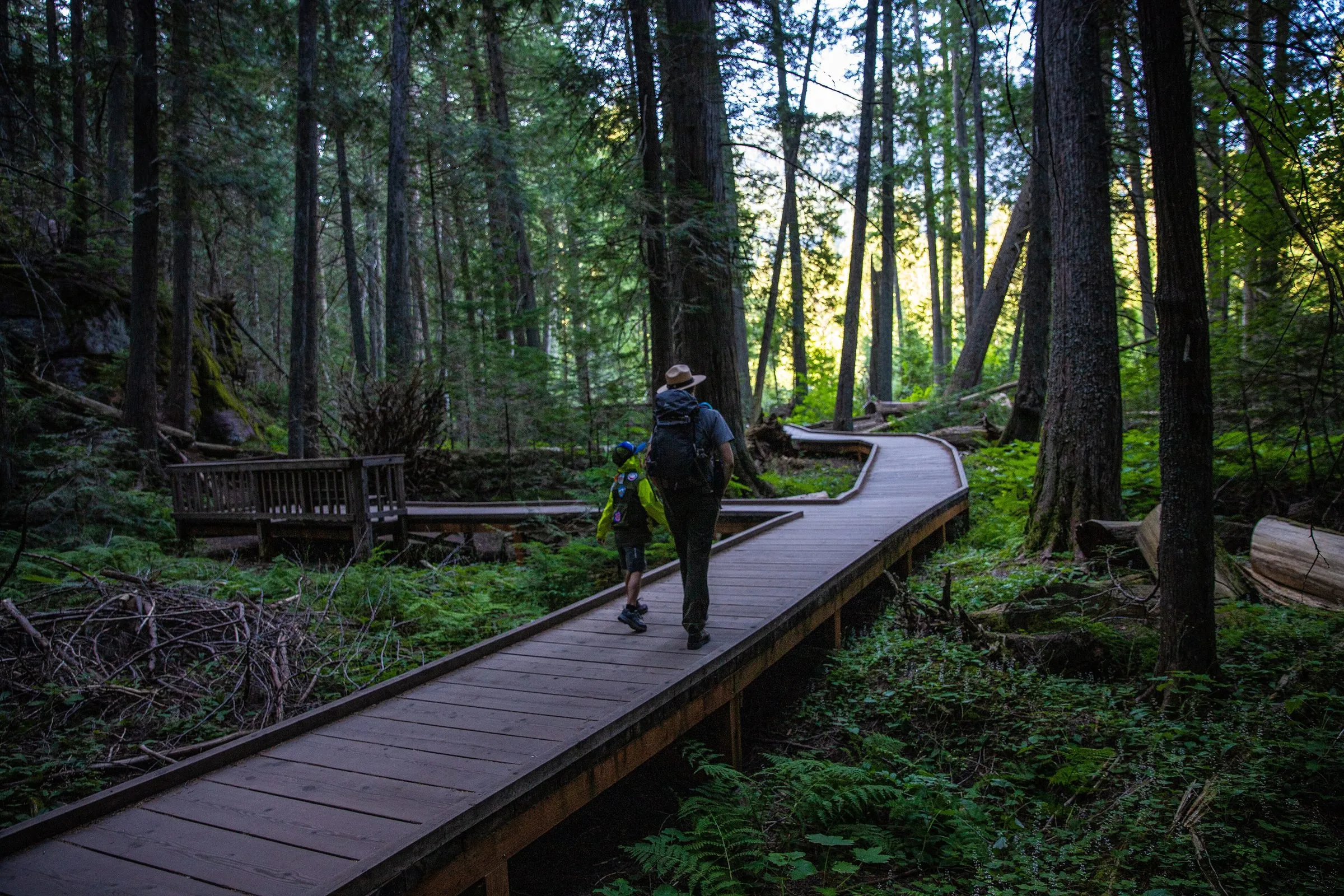
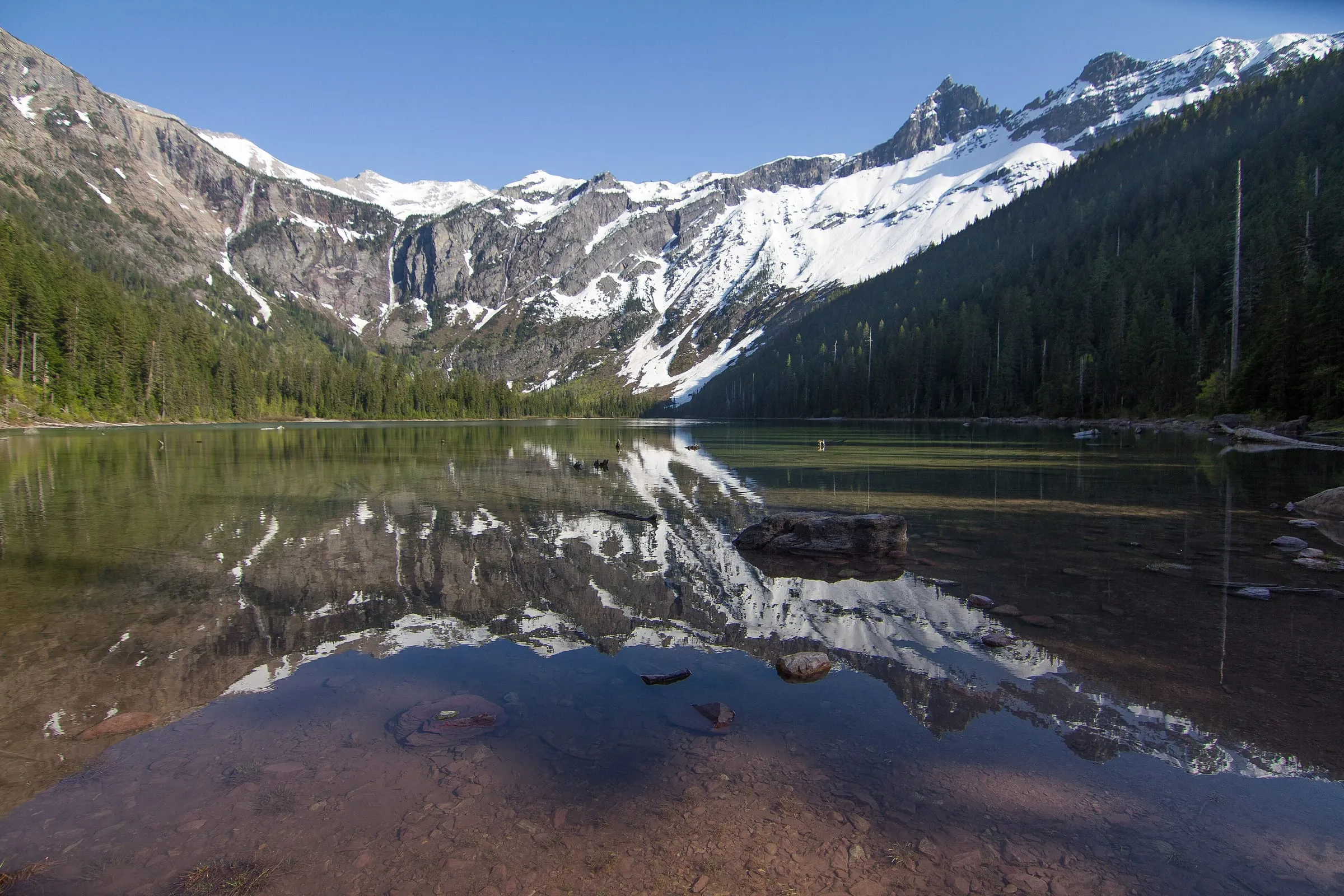
| Avalanche Creek: Trail of the Cedars | 60 mi · 1 hr 30 min | A flat 1-mile boardwalk loop through old cedars, and the start of the Avalanche Lake trail. The lot fills early. |
| The Loop | — | The road’s one big hairpin, with a view up to Heavens Peak. Highline Trail hikers finish here. |
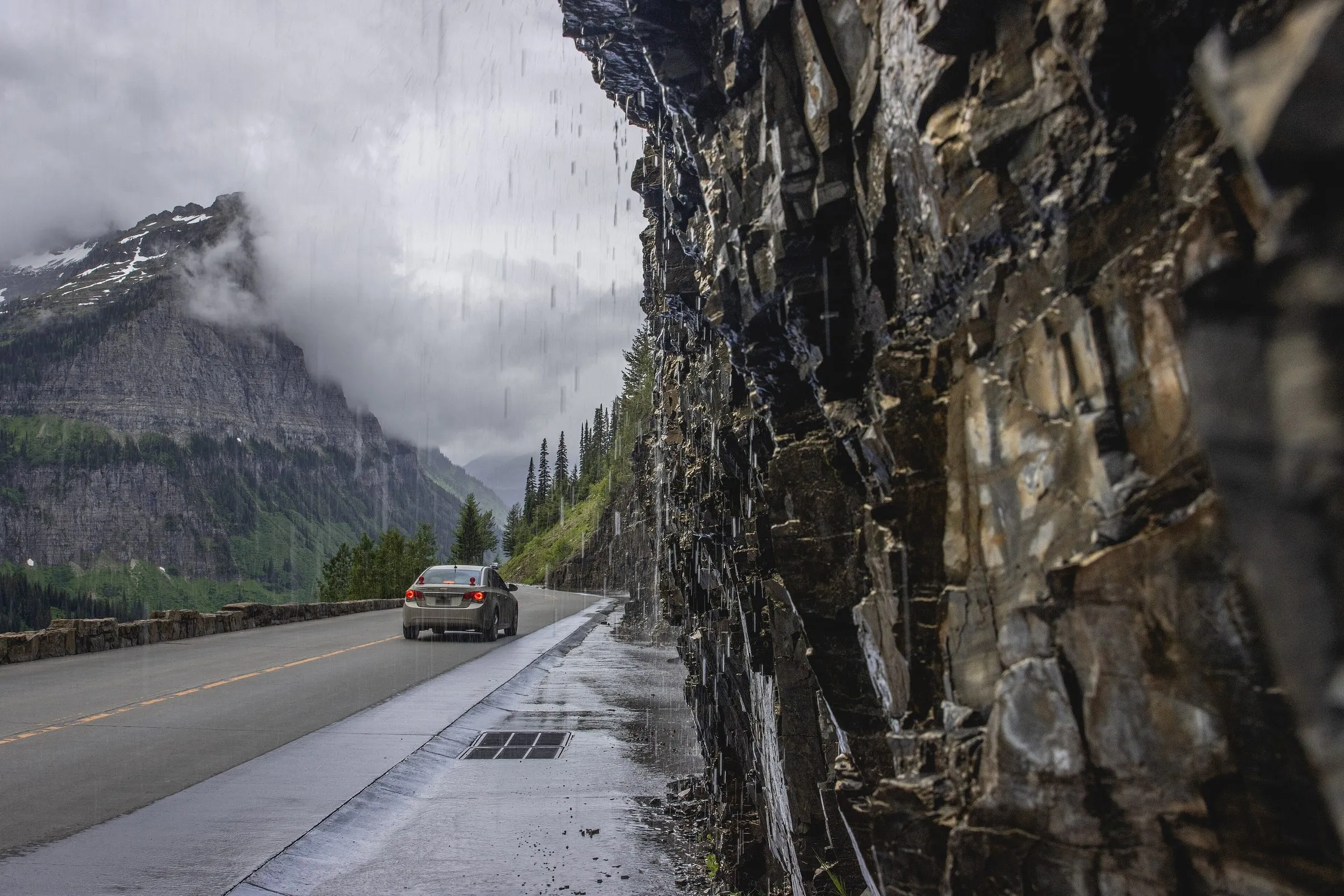
| Weeping Wall | — | Water pours down the rock beside the road in early summer. Expect a wet car. |
| Big Bend and Haystack | — | Pullouts with the best views back down the valley below the Garden Wall. |
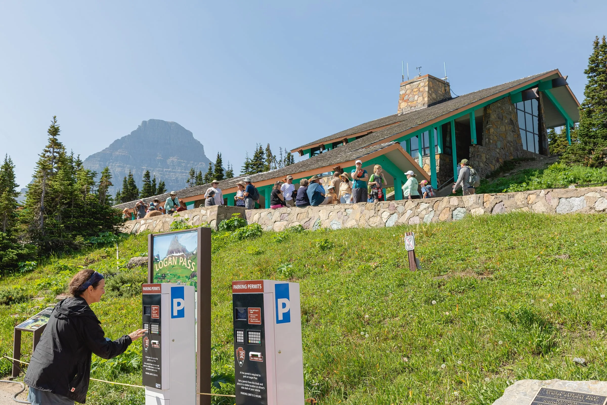
| Logan Pass | 76 mi · 2 hr 10 min | The top, 6,646 ft: visitor center, the Hidden Lake Overlook trail, mountain goats and bighorn sheep. |
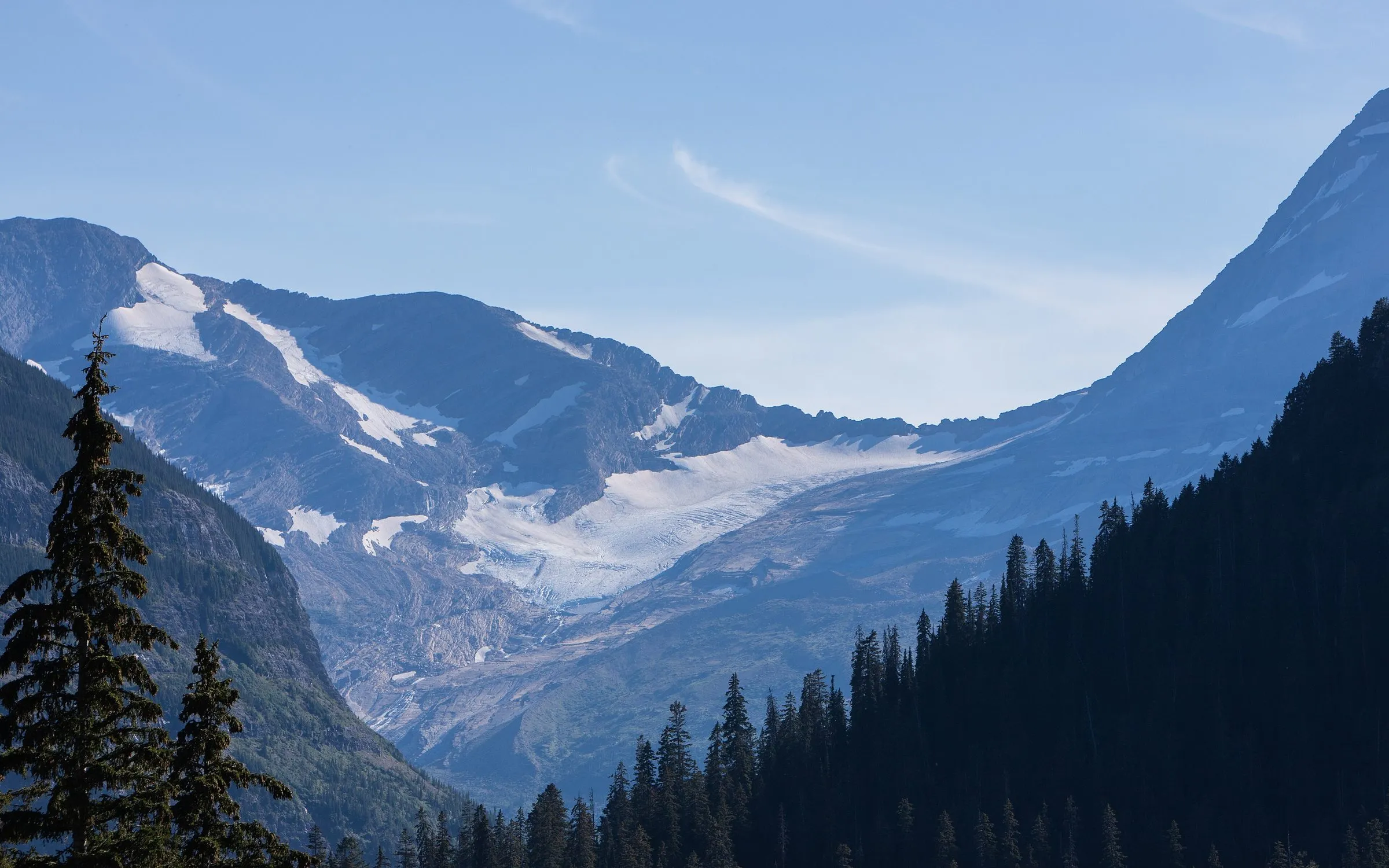
| Jackson Glacier Overlook | — | The park calls it the best chance to see a glacier from the road. |
| Sunrift Gorge, Sun Point and St. Mary Falls | — | Short walks to a gorge, a lake point and a turquoise waterfall. |
| Wild Goose Island Overlook | — | The postcard view of Saint Mary Lake and its tiny island. |
| Rising Sun and St. Mary | 93 mi · 2 hr 50 min | Picnic area, boat tours, the St. Mary Visitor Center and the east entrance. |
The park's notes on wildlife are worth knowing: mountain goats and bighorn sheep are seen regularly near Logan Pass, and grizzly bears are often seen near Two Dog Flats on the east side (NPS). Stay in the car or at a distance, and use the pullouts rather than stopping in the road. Picnic areas are at Apgar, Sprague Creek, Avalanche Creek and Rising Sun, and there are visitor centers at Apgar, Logan Pass and St. Mary.
An early-start plan from Flathead Lake
The Logan Pass parking lot has 235 spaces (NPS), and the park says it usually fills by sunrise and stays busy all day (NPS). From our door it's 76 mi · 2 hr 10 min. Here's the plan we give guests in July and August:
- 4:30 AM: leave Woods Bay with coffee from your room, layers and breakfast to eat at the top. Fill up with gas the evening before.
- About 6:40 AM: Logan Pass, without stops. Find a space, then walk to the Hidden Lake Overlook (about 3 miles round trip) before the crowds.
- Mid-morning: drive down slowly, stopping at Big Bend, the Weeping Wall and The Loop while the uphill traffic builds on the other side.
- Late morning: Trail of the Cedars at Avalanche Creek. If the lot is full, keep going and come back; it turns over.
- Lunch: a picnic at Sprague Creek or Apgar, and a cold swim in Lake McDonald.
- About 3 PM: head home. You'll be back at the lake for a swim off The Sitting Duck's dock before walking to dinner.
Can't face 4:30? The other good window is late afternoon and evening, when day visitors head down. Leave Woods Bay after lunch, stop at Lake McDonald on the way, and be at Logan Pass for the evening light.
Alarm at 4. Out the door by 4:30 AM. Breakfast at Logan Pass with the goats. You'll thank us.
Logan Pass parking and the shuttle (how 2026 worked)
From July 1 to Labor Day 2026, Logan Pass had 3-hour parking with a free kiosk permit, and for long hikes from the pass the park pointed hikers to the ticketed shuttle (NPS). 2027 isn't announced yet; our reservations guide has the details and will have 2027 when it does.
Bikes on Going-to-the-Sun Road
In spring, before the road opens to cars, sections above the vehicle closure are often open to hikers and cyclists only; it's one of the best rides in the country, and the closure points move with the plows. Once the road is fully open to vehicles, the park restricts bikes through September 27 (NPS bicycling page, updated July 8, 2026):
- Eastbound (Apgar to Logan Pass): no bikes from 12 to 6 PM.
- Westbound (Logan Pass to Apgar): no bikes from 3 to 6 PM.
Ride single file, use pullouts, and pull over when four or more cars stack up behind you. E-bikes are allowed if the motor is under 750 watts and assists only while pedaling. The park's older road page lists different hours, so check the bicycling page for the current year before you go.
Speed limits and driving tips
- The speed limit is 40 mph on the lower road and 25 mph in the alpine section (NPS). You'll often go slower.
- Watch blind curves: animals and people cross unexpectedly.
- Park only in marked spaces, and don't stop in the road for photos.
- In July and August, expect a line at the West Glacier entrance: when the road opened in 2026, the park warned of waits up to 2 miles and 30 minutes at peak times (NPS).
- The road over the pass is usually fully open from early July to about the third Monday of October; see when Going-to-the-Sun Road opens, and check road status on the day.


Questions people also ask
How long does it take to drive Going-to-the-Sun Road?
About 2 hours for the full 50 miles without stopping, according to the park. With stops, short walks and summer traffic, plan on most of a day. From Woods Bay, a round trip to Logan Pass and back is about 4 hr 20 min of driving alone.
Is Going-to-the-Sun Road scary to drive?
It's narrow and has big drop-offs between The Loop and Logan Pass, with a low stone wall on the outside. Most people find it fine at 25 mph with a patient driver. If heights bother you, drive down the west side rather than up it (the downhill lane is on the mountain side there), or take a red bus tour and let someone else drive (the red buses are run by Xanterra as Glacier National Park Lodges).
Can you drive Going-to-the-Sun Road in an RV or with a trailer?
Not between Avalanche Creek and Rising Sun if the vehicle or combination is longer than 21 feet (including bumpers) or wider than 8 feet (including mirrors). Vehicles over 10 feet tall may have trouble west of Logan Pass because of rock overhangs (NPS). Leave the trailer at camp or take the shuttle or a tour.
Is there gas on Going-to-the-Sun Road?
No. There's no gas anywhere in the park (NPS), so fill up in Bigfork, Columbia Falls or West Glacier on the way, or in St. Mary on the east side. The park lists one electric vehicle charging station, across from the Lake McDonald Lodge camp store. (We don't have an EV charger at the inn.)
What time of day is best to drive Going-to-the-Sun Road?
Early morning or late afternoon. Midday in July and August is the busiest, with full lots at Logan Pass and slow traffic on the climb. From our door, leave by 4:30 AM for the morning, or after lunch for the evening light. For entry rules, see our reservations guide.
Keep planning
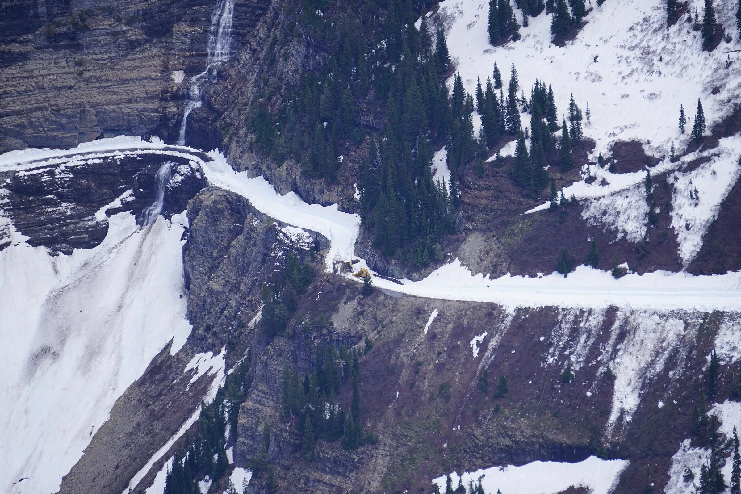 Resource When does Going-to-the-Sun Road open? Opening dates by year from the park's records, and what's open before the pass.
 Resource Do you need a reservation for Glacier National Park in 2027? What changed in 2026, what's confirmed for 2027, and how to plan around it.
 Itinerary What's a good 1-, 2- or 3-day Glacier itinerary if you're staying on Flathead Lake? Park mornings, lake evenings: day-by-day plans with leave times from our door.
 Q&A How far is Bigfork / Woods Bay from Glacier National Park? One checked table from our door to every entrance, lodge, airport and town.
Sources
- NPS: Going-to-the-Sun Road general information (vehicle size limits, speed limits, 50 miles in about 2 hours, no gas), checked November 6, 2026
- NPS: Visiting Logan Pass in 2026 (3-hour parking, July 1–Sept 7)
- NPS news release, September 8, 2026: shuttle and 3-hour parking end for the season; 235 spaces at Logan Pass
- NPS: Logan Pass Shuttle Service 2026
- NPS: Bicycling in Glacier (peak-season bike restrictions; page updated July 8, 2026)
- NPS: Vehicle reservations (none in 2026)
- NPS: Glacier road status
- Drive times: OpenStreetMap routing (OSRM) from our door, checked November 6, 2026; free-flowing traffic, no stops