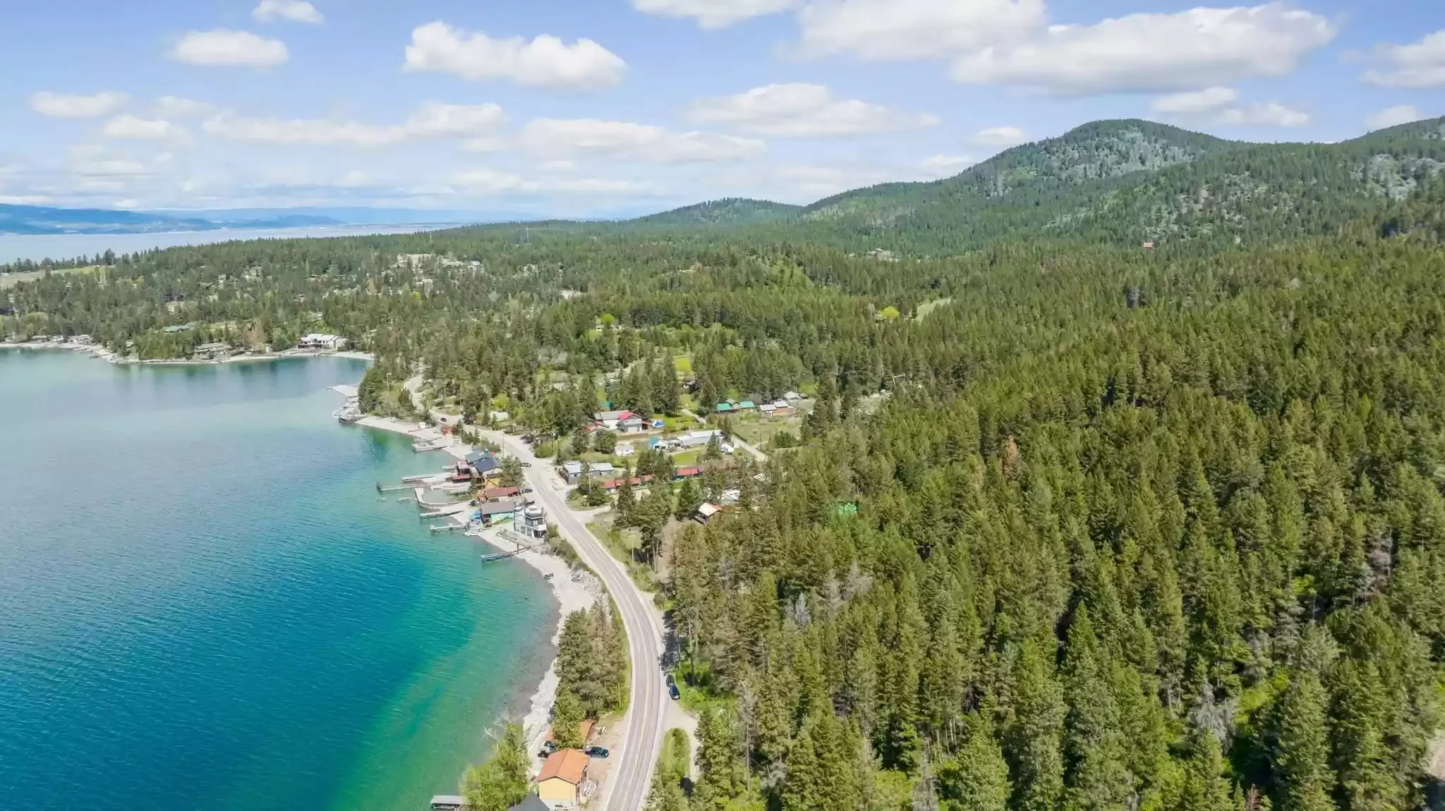
We're on the east shore, so you know where we lean. But this question deserves a straight answer, because the two sides of Flathead Lake really are different. The lake is about 27 miles long and there's no bridge or ferry across the middle, so the side you pick shapes the trip.
Which side of Flathead Lake is better to stay on? The towns compared
Drive times are without stops or traffic. In July and August, add time for summer traffic on both highways and for the line at the park entrance.
| Town | Shore | To West Glacier | To Kalispell | From our door |
|---|---|---|---|---|
| Bigfork | East | 39 mi · 50 min | 18 mi · 27 min | 5.5 mi · 11 min |
| Woods Bay (The Islander) | East | 44 mi · 50–60 min | 23 mi · 35 min | Our door |
| Yellow Bay | East | 53 mi · 1 hr 15 min | 32 mi · 50 min | 8.5 mi · 15 min |
| Somers | North end | 44 mi · 55 min | 10 mi · 15 min | 16 mi · 26 min |
| Lakeside | West | 49 mi · 1 hr 5 min | 14 mi · 20 min | 21 mi · 33 min |
| Dayton | West | 64 mi · 1 hr 20 min | 30 mi · 40 min | 37 mi · 52 min |
| Elmo | West | 69 mi · 1 hr 25 min | 35 mi · 45 min | 42 mi · 56 min |
| Big Arm | West | 73 mi · 1 hr 35 min | 39 mi · 55 min | 41 mi · 1 hr |
| Polson | South end | 72 mi · 1 hr 45 min | 51 mi · 1 hr 5 min | 28 mi · 45 min |
The pattern: the northeast corner (Bigfork and Woods Bay) and the north end (Somers) are the quick bases for Glacier. The farther down the west shore you go, the farther you are from the park, and Polson, at the south end, is the farthest of all.
The east shore: Highway 35, orchards and Bigfork
Highway 35 runs along the east shore from Bigfork to Polson, two lanes squeezed between the water and the forested hills. Most of it is orchards, cabins, small resorts and lake views, with almost no towns in between. That's the appeal: it's the quiet side. It also means fewer services, so fill up and stock up in Bigfork, Kalispell or Polson.
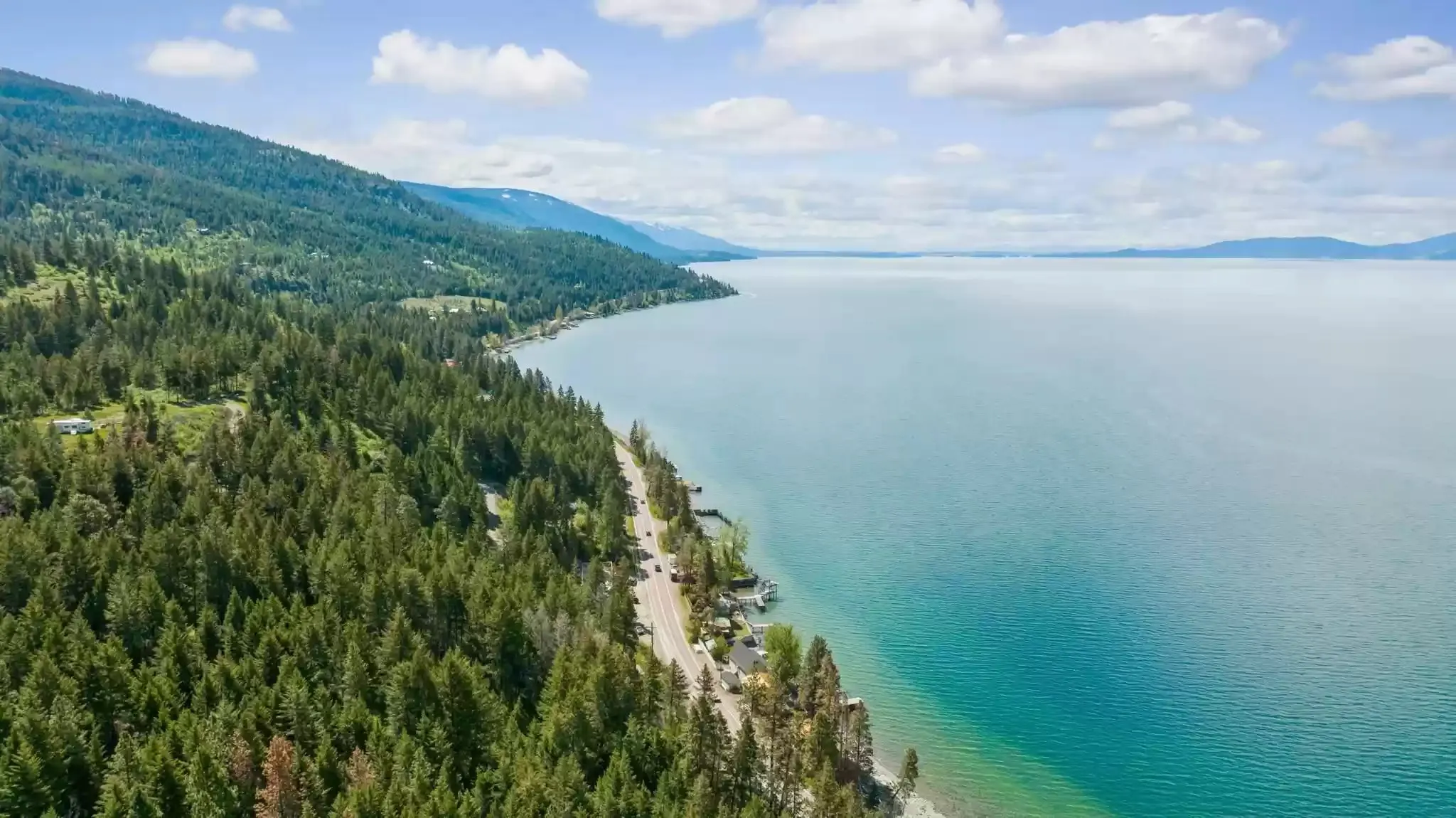
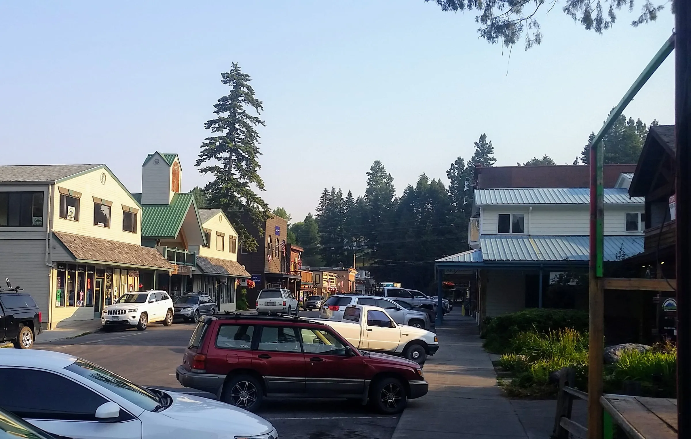
Bigfork
5.5 mi · 11 min from us
Galleries, restaurants and the Bigfork Summer Playhouse, where the Swan River meets the lake. It's the closest lake town to Glacier and the gateway to the Jewel Basin trailhead, 20 mi · 50 min from our door.
Photo: Erie Bard, CC BY-SA 4.0

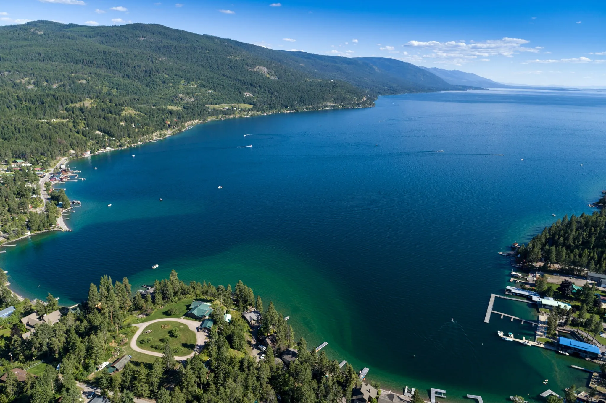
Woods Bay
Our home, 5 miles south of Bigfork
A small bay with three restaurants a short walk apart (The Raven, The Sitting Duck and Montana Bonfire), and The Sitting Duck's beach and dock, free for our guests, about 50 yards from our door.
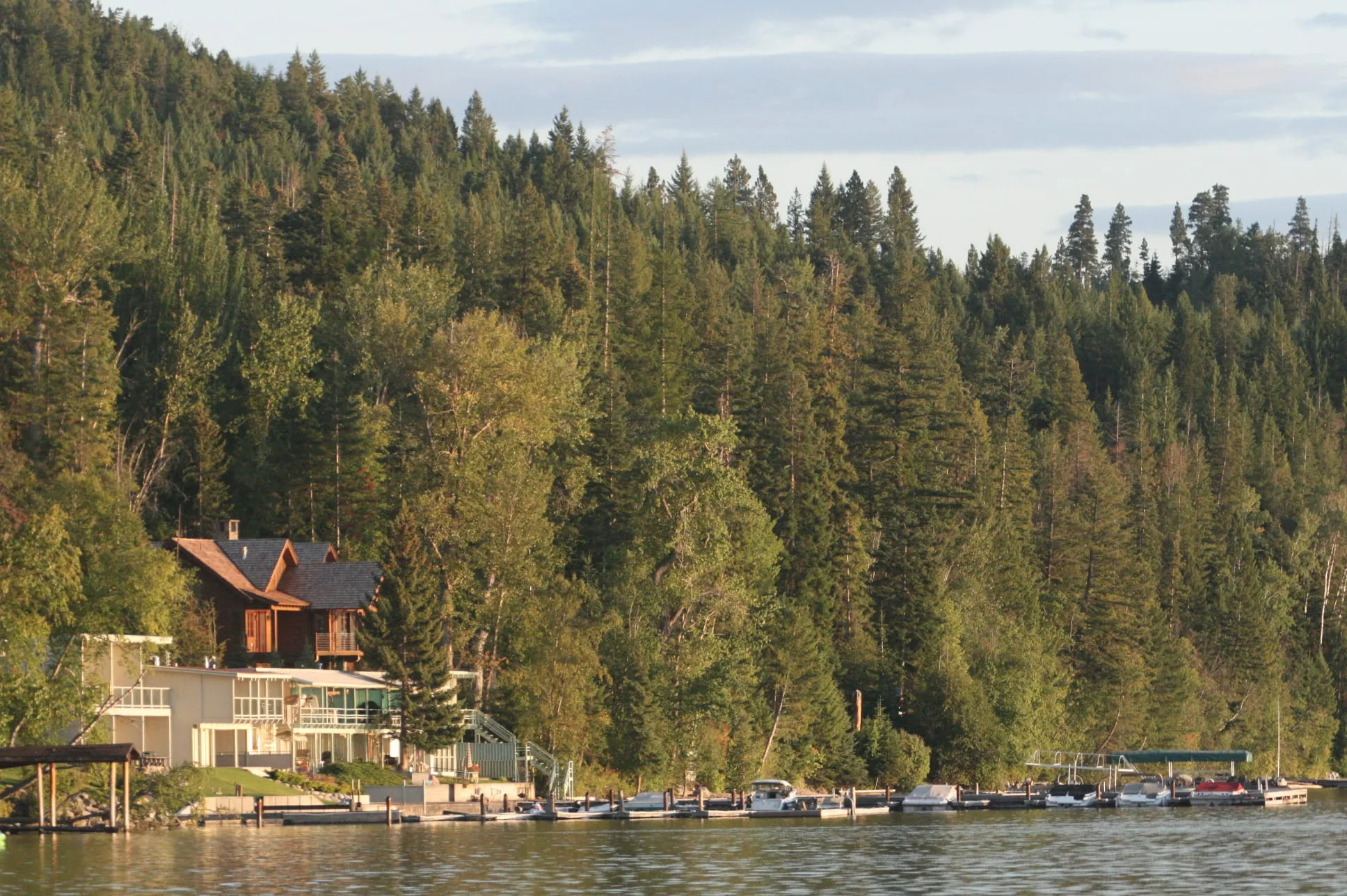
Yellow Bay and Finley Point
Yellow Bay 8.5 mi · 15 min from us
The best public swimming on this side: a wide gravel beach at Yellow Bay, and pines and boat slips at Finley Point near the south end. More in our beaches guide.
Photo: Matthew Hoelscher, CC BY-SA 2.0

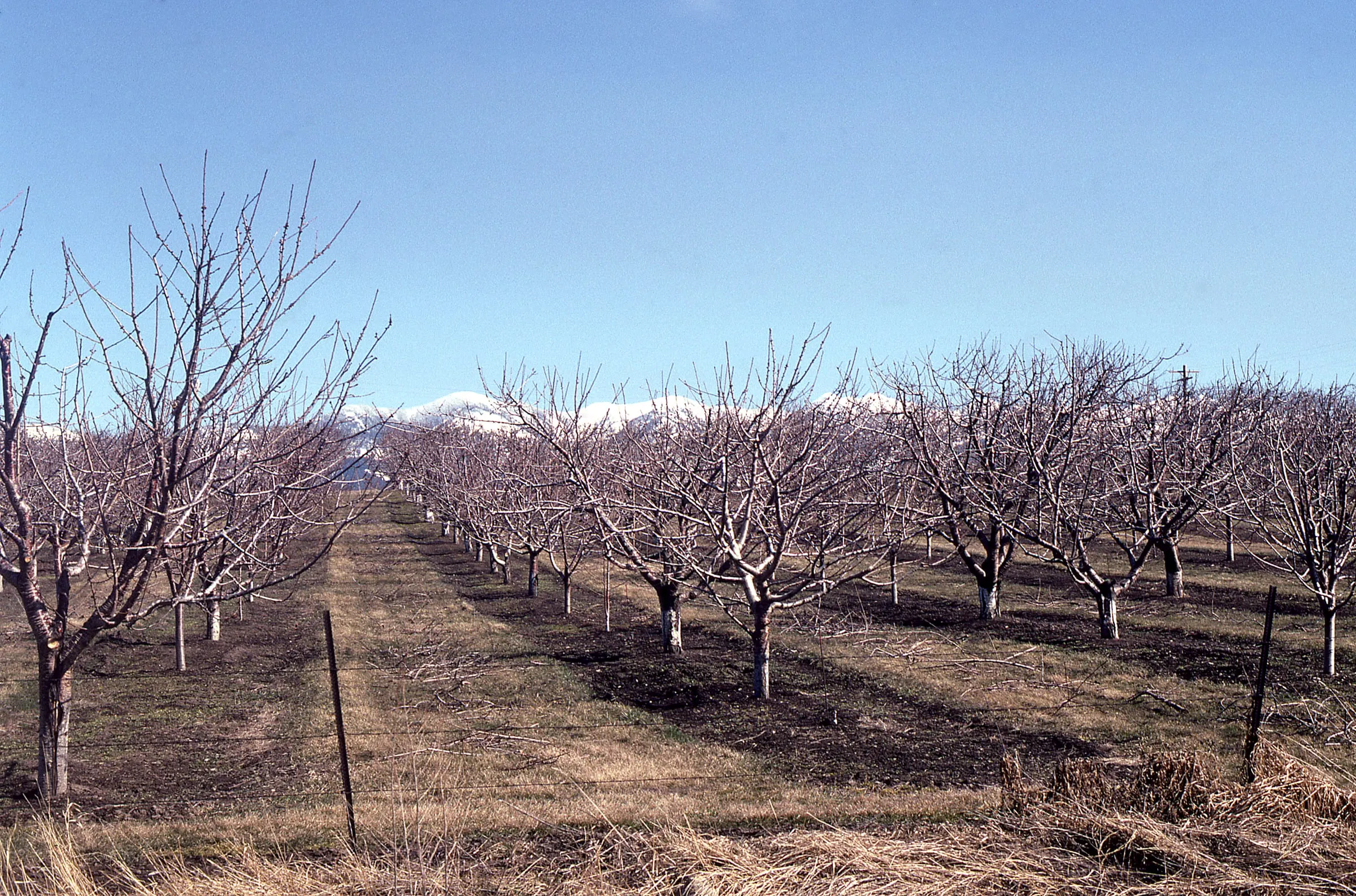
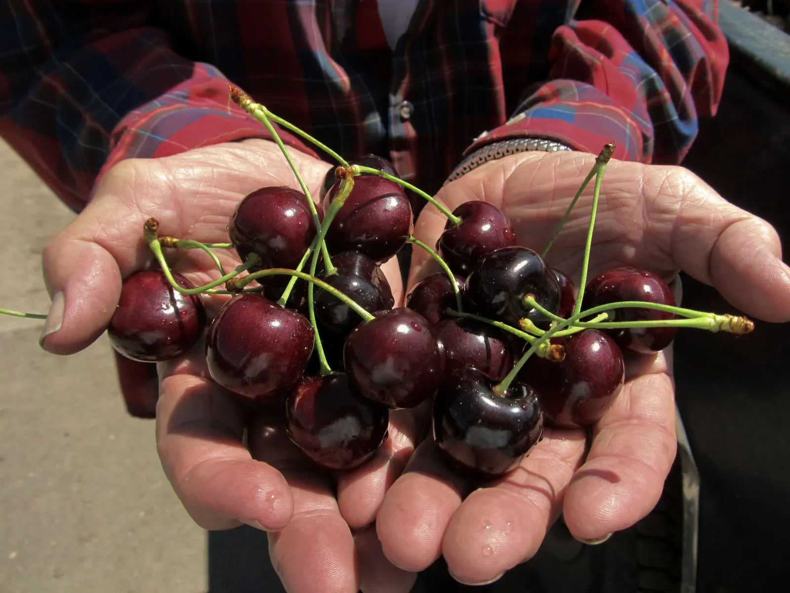
Cherry country
The east shore is where Flathead cherries grow. The lake holds enough warmth to protect the orchards on the slopes above Highway 35, and in July the stands open along the road, selling sweet cherries by the bag and the box. If you're here in season, you'll drive past them on the way to anything.
The west shore: US 93, from Somers to Big Arm
US 93 is the main highway from Missoula to Kalispell, and on the west shore it follows the lake from Polson up to Somers. It's busier than Highway 35 and has more of everything: gas stations, grocery stores, marinas and resorts. The land is more open, with grassy hills and big views back across to the Mission Mountains and the Swan Range.
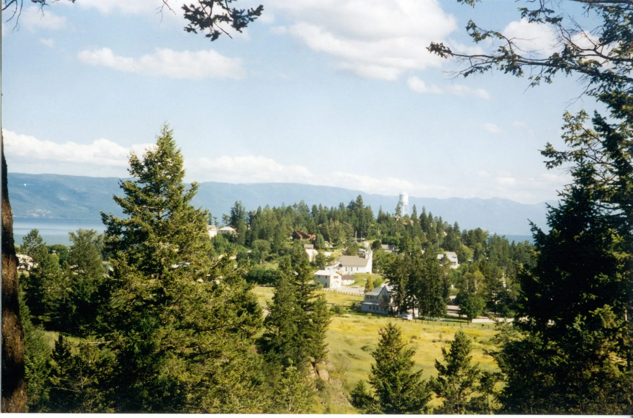
Somers
16 mi · 26 min from us
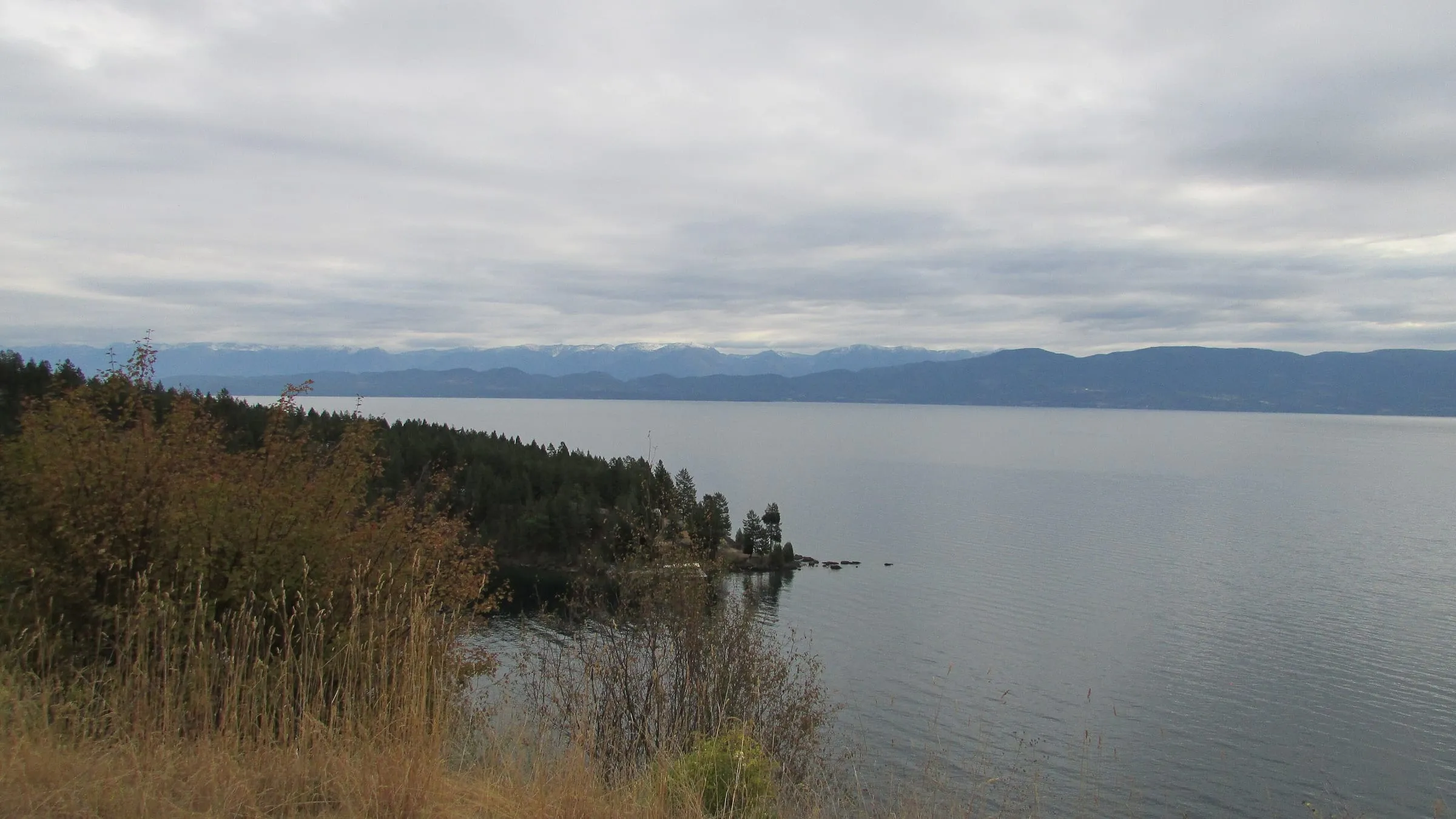
A small town at the top of the lake, about 15 minutes from Kalispell. It's about as close to West Glacier as Woods Bay, and it's handy for the airport.
Photo: Chris Light, CC BY-SA 4.0

Lakeside
21 mi · 33 min from us
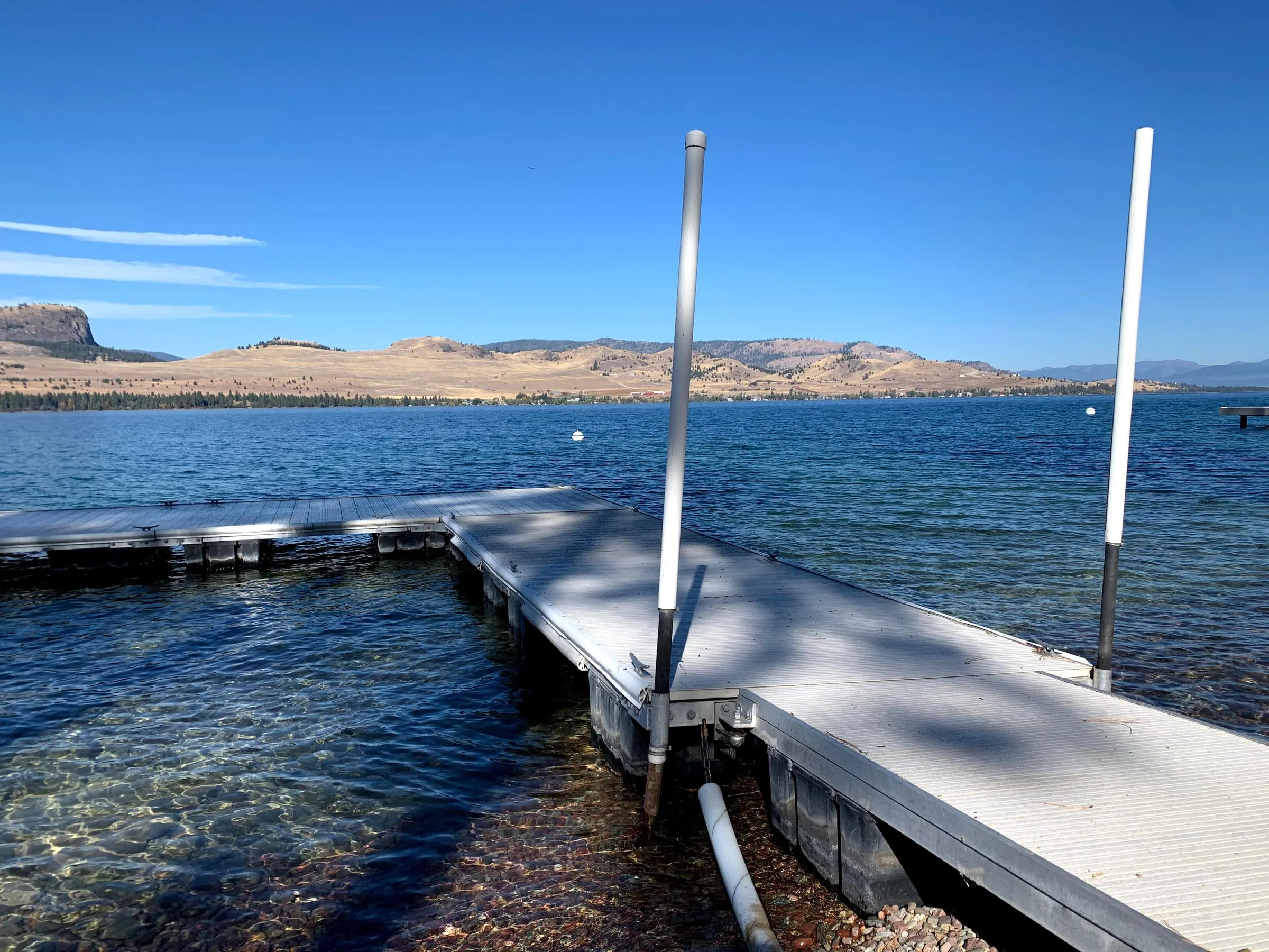
The west shore's biggest lake town, with restaurants, marinas and boat rentals along US 93. It's about 20 minutes to Kalispell and an hour or so to West Glacier. (The photo is the Deep Bay overlook, a little south of town.)
Photo: Chris Light, CC BY-SA 4.0

Dayton, Elmo and Big Arm
Big Arm 41 mi · 1 hr from us
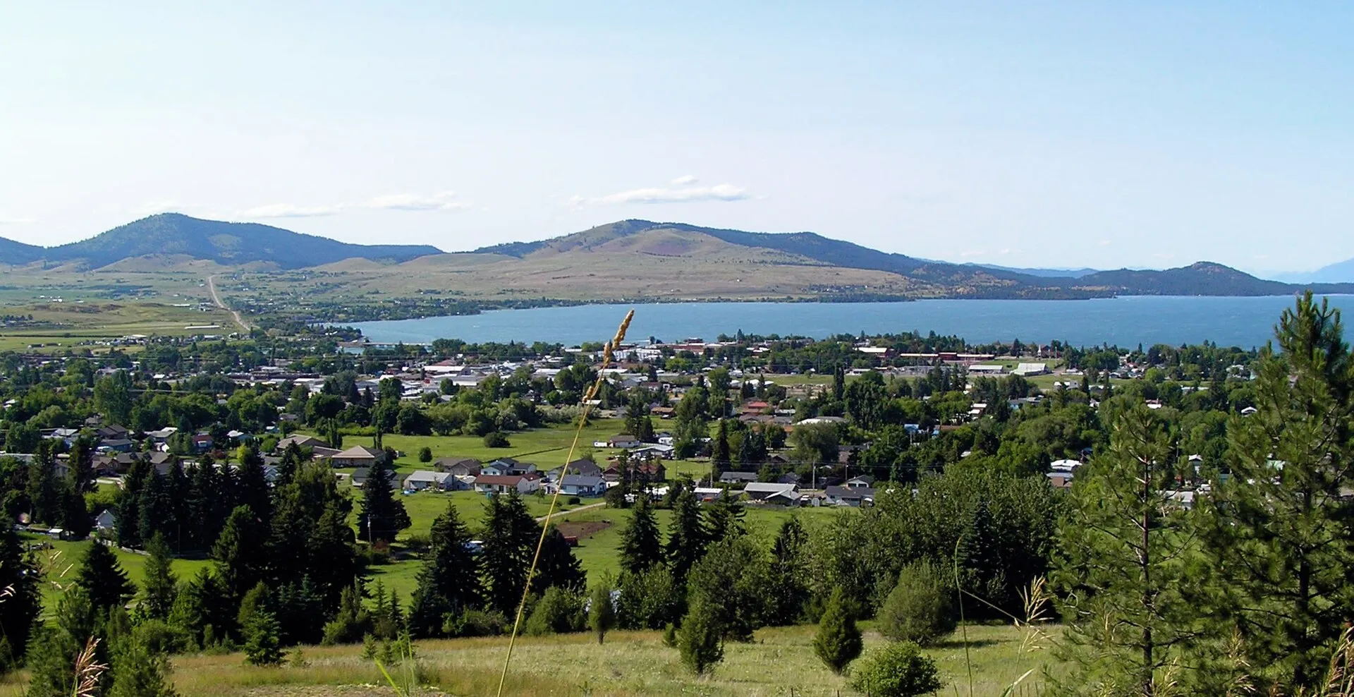
Small communities on the open middle of the lake. Big Arm State Park has a campground, a launch and a dock, and FWP calls it a popular jumping-off point for Wild Horse Island, just offshore.
Photo: Natecation, CC BY-SA 4.0

Glacier and dinner on the water: east shore. Kalispell errands and a west-shore boat day to Wild Horse Island: west. Lakeside is only about 33 min from our door, so you don't really lose either.
Polson and the south end
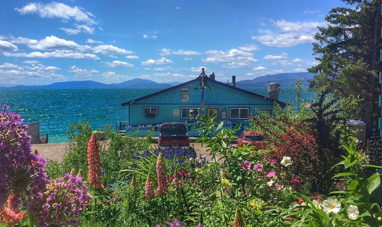
Polson sits where the Flathead River leaves the lake, 28 mi · 45 min from us down Highway 35. It's a real town, with a waterfront, places to eat and the bridge over the river, and it's where the two shore highways meet. It's the farthest lake town from Glacier, about 1 hr 45 min to West Glacier.

The southern half of the lake is on the Flathead Reservation, home of the Confederated Salish and Kootenai Tribes. Inside the state parks you just pay the park fee, but recreation on tribal land outside them needs a tribal recreation permit, and fishing on the southern half of the lake needs a tribal fishing license (FWP; permits from the CSKT). That applies on both shores, including Yellow Bay, Big Arm and Wild Horse Island.
How to choose, by the kind of trip
- Glacier is the main event: the east shore (Bigfork, Woods Bay) or Somers. You'll be at West Glacier in 50 minutes to an hour. Our distance guide has every entrance.
- Quiet, orchards, sunsets over the water: the east shore.
- Flying in, or errands in town: Somers or Lakeside, 15–20 minutes from Kalispell. From us, Glacier Park International is 31 mi · 45 min.
- Hiking with a dog: the east shore, for the leashed trails of the Jewel Basin.
- Wild Horse Island and long boat days on the open lake: the west shore near Big Arm, or rent a boat on our side and plan a full day (see boat rentals).
If you're comparing the lake with the towns closer to the park, our guide to where to stay near Glacier puts Bigfork and Woods Bay next to West Glacier, Columbia Falls, Whitefish and Kalispell.
Questions people also ask
Is the east or west side of Flathead Lake closer to Glacier National Park?
The northeast corner is. Bigfork is about 39 miles from West Glacier, around 50 min, and Woods Bay is 50 minutes to an hour. Lakeside, the closest west-shore town, is about 1 hr 5 min, and Dayton, Elmo and Big Arm are 1 hr 20 min to 1 hr 35 min. Somers, at the north end, is about as close as Woods Bay.
Which side of Flathead Lake has the best sunsets?
The east shore. It faces west across the widest part of the lake, so from Bigfork, Woods Bay or Yellow Bay the sun goes down over the water and the west-shore hills. The west shore gets the sunrise over the Swan and Mission mountains instead.
Is Highway 35 or US 93 the better drive around the lake?
Highway 35 on the east shore is the prettier, slower road: two lanes, tight curves, orchards and lake views most of the way from Bigfork to Polson. US 93 on the west shore is a bigger highway with more traffic, more towns and more places to stop for gas and groceries. Both run the full length of the lake. They meet at Polson in the south; at the north end, Montana 82 links them, from US 93 near Somers across to Highway 35 near Bigfork.
Where are the cherry orchards on Flathead Lake?
Mostly on the east shore, along Highway 35 between Bigfork and Polson. The lake keeps that side mild enough for sweet cherries, and in July you'll pass orchard stands selling them by the box. Timing changes with the year; it's usually mid-July into August.
Which side of Flathead Lake is closer to Wild Horse Island?
The west shore. The island sits just off Dayton and Big Arm, and Big Arm State Park, about 1 hr from us, is the usual launch. From the east shore it's a long, open-water boat ride. Our Wild Horse Island guide covers tours, rentals and the rules.
Keep planning
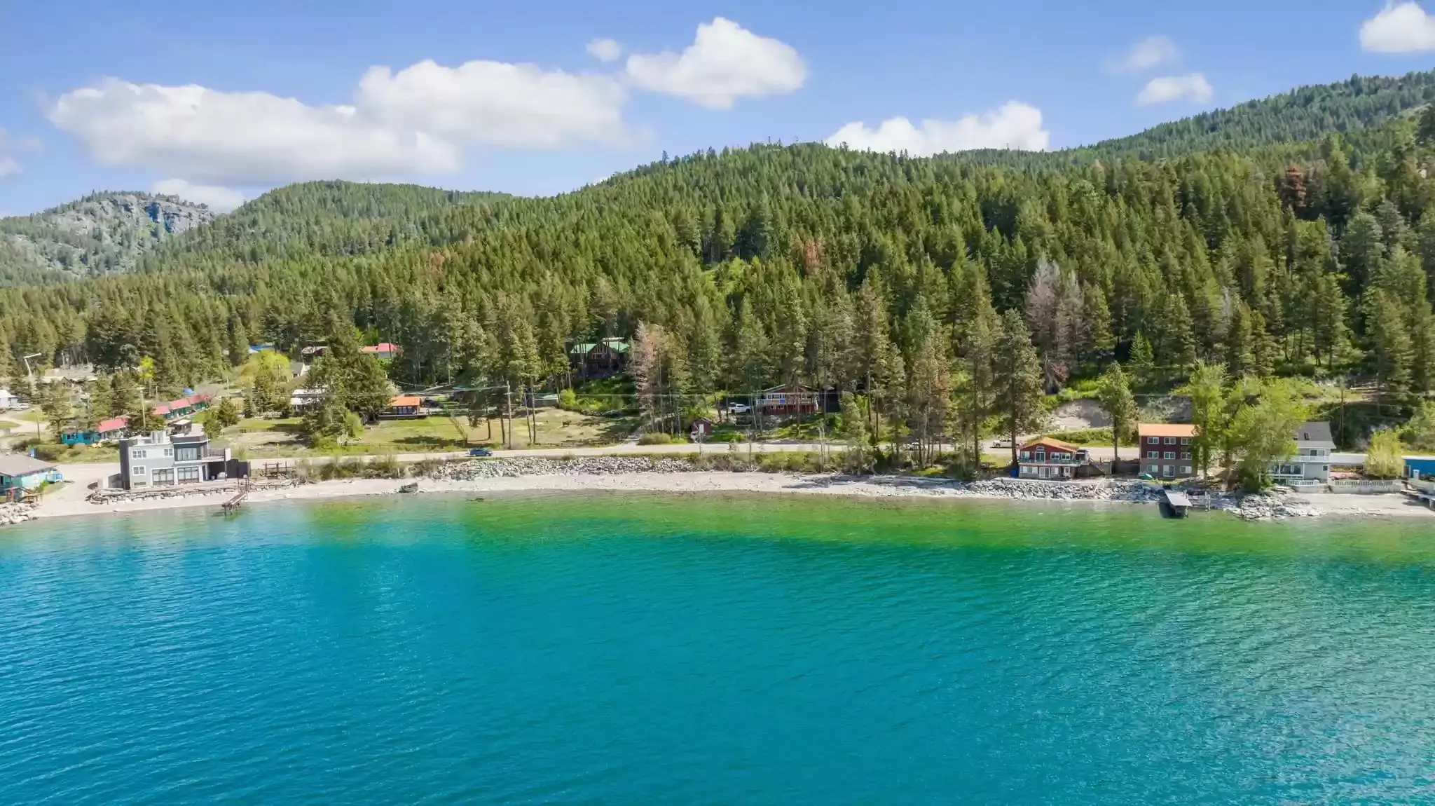 Place guide Where can you swim on Flathead Lake? Beaches, public access and water temperature The east-shore swims near us, what the state parks charge, and how cold the water really is.
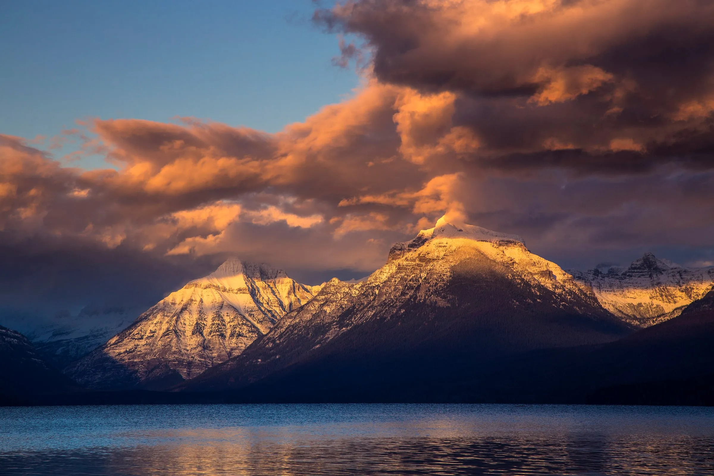 Comparison Where should you stay for Glacier National Park? Every base town, with checked drive times to the park and honest trade-offs.
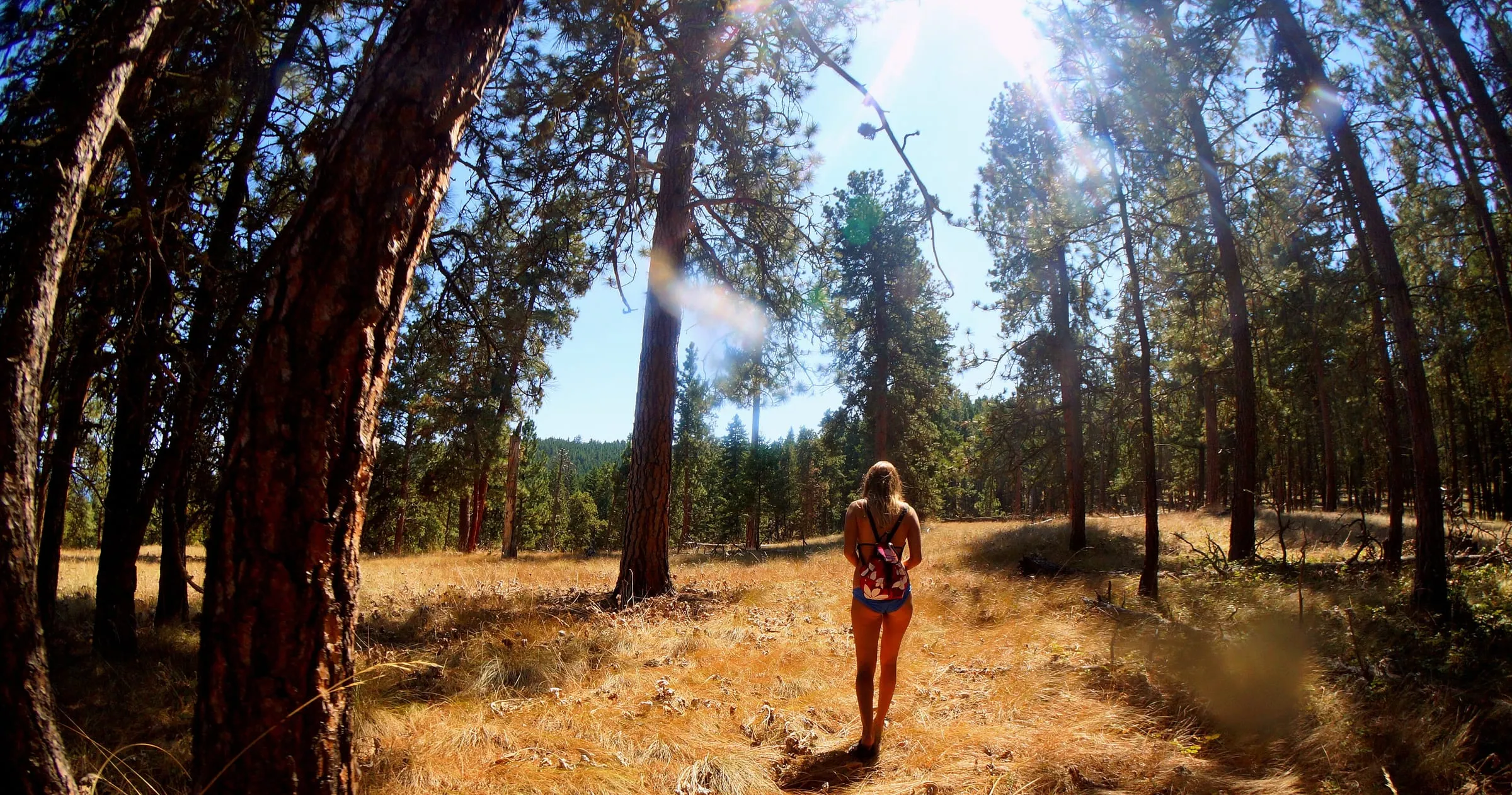
 Q&A How far is Bigfork / Woods Bay from Glacier National Park? One checked table from our door to every entrance, lodge, airport and town.
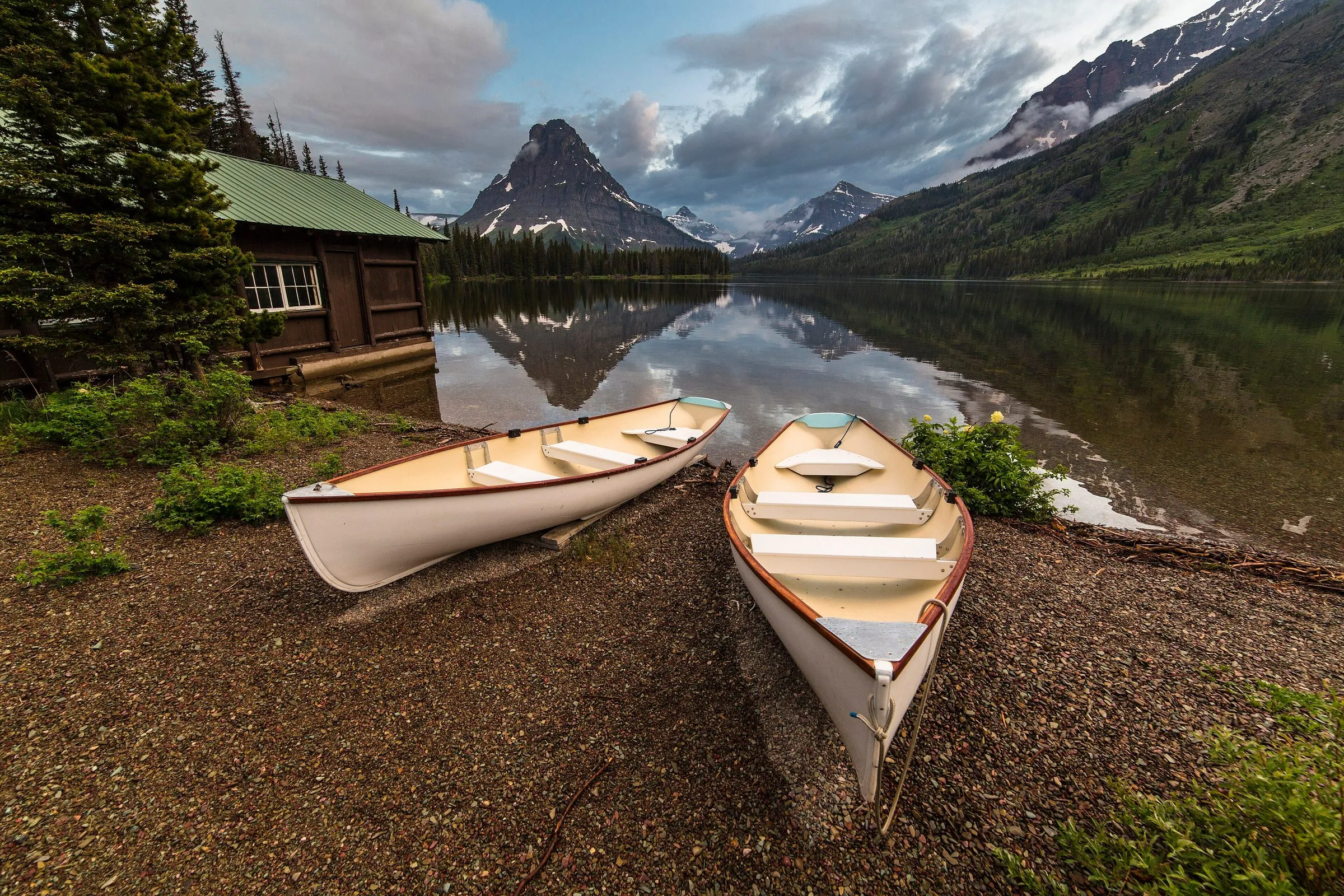
 Place guide How do you get to Wild Horse Island? No ferry, no shuttle: tours, boats and paddling routes to the island, and the rules once you land.
Sources
- Montana FWP: Big Arm unit of Flathead Lake State Park (Flathead Reservation, Wild Horse Island launch), checked November 6, 2026
- Montana FWP: Yellow Bay unit of Flathead Lake State Park, checked November 6, 2026
- Montana FWP: Wayfarers unit of Flathead Lake State Park, checked November 6, 2026
- Confederated Salish and Kootenai Tribes (tribal recreation permits)
- Drive times: OpenStreetMap routing (OSRM), checked November 6, 2026; free-flowing traffic, no stops