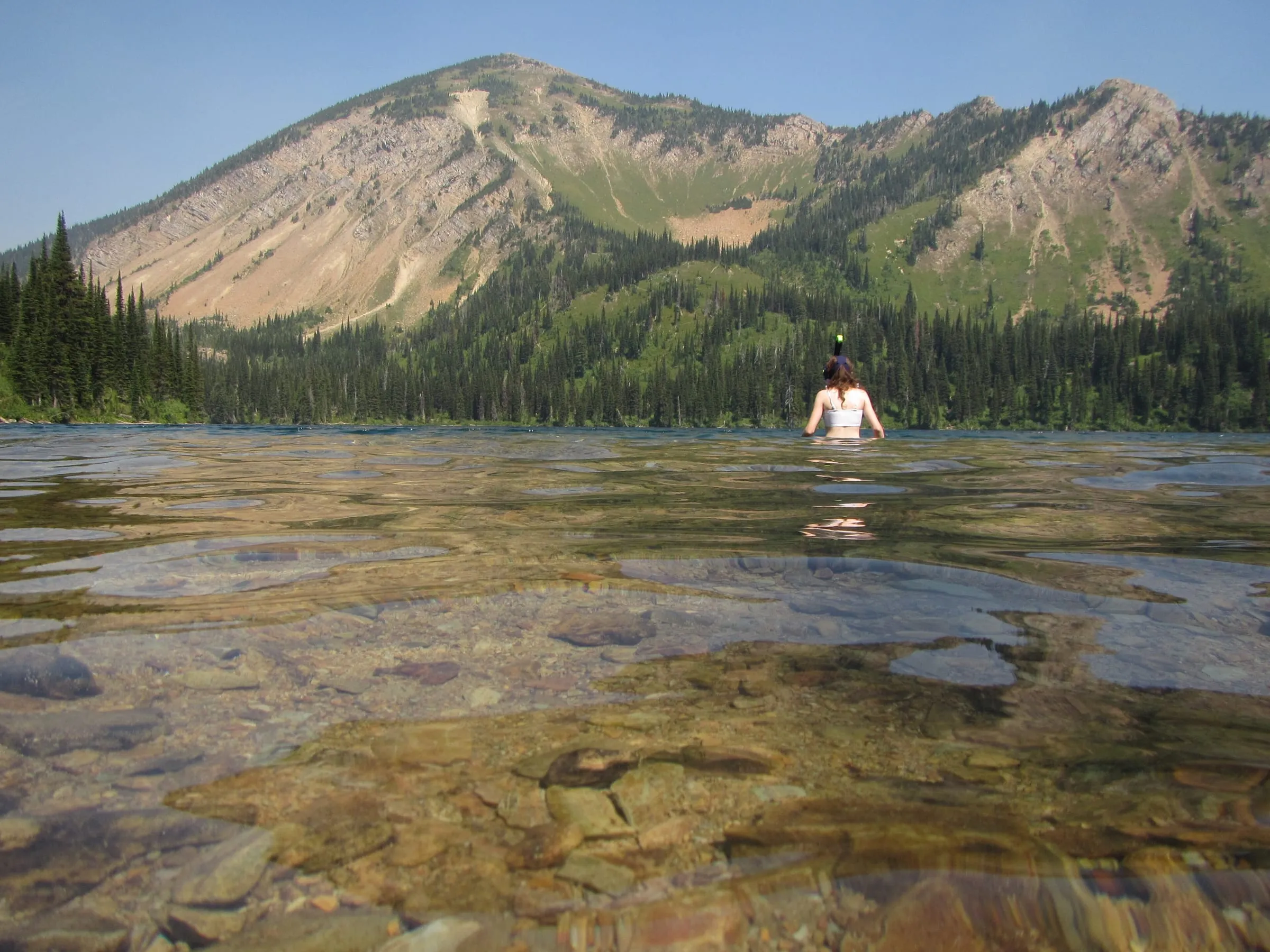
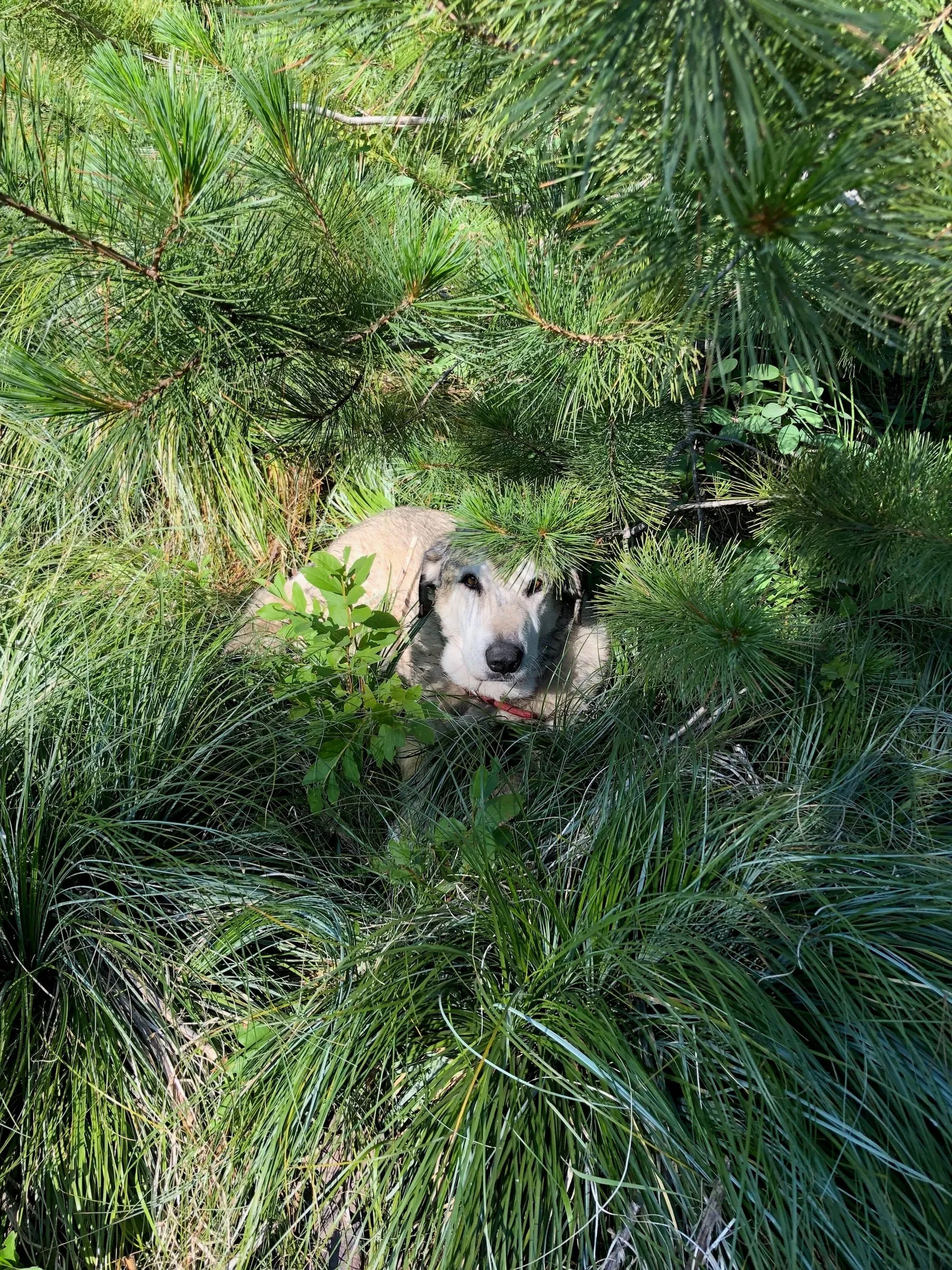
The Jewel Basin is the mountain we look up at from Woods Bay: 15,000 acres of the Swan Range, kept by the Forest Service for hiking and camping only, with more than 20 lakes. It's our first answer when guests ask for a day off from the park, and our only answer when they ask where the dog can hike.
What are the best Jewel Basin hikes from Bigfork?
Distances and climbs are approximate, from hiking guides; trail numbers are the Forest Service's. All three start at Camp Misery.
| Hike | Round trip | Climb | Why go |
|---|---|---|---|
| Mount Aeneas (Trail #717) | About 6–7 mi, out and back | About 1,800 ft, to 7,528 ft | The highest point near the trailhead: Flathead Lake on one side, the basin's lakes on the other |
| Picnic Lakes loop (#717 and #721) | About 8 mi loop (about 6 if you skip Twin Lakes) | About 2,000 ft | Over the shoulder of Aeneas and down past Picnic and Twin lakes: the best all-day sampler |
| Birch Lake (Alpine Trail #7) | About 6 mi | About 1,500 ft | A steady climb to a clear lake under Mount Aeneas; swim, eat lunch, walk back |
Mount Aeneas
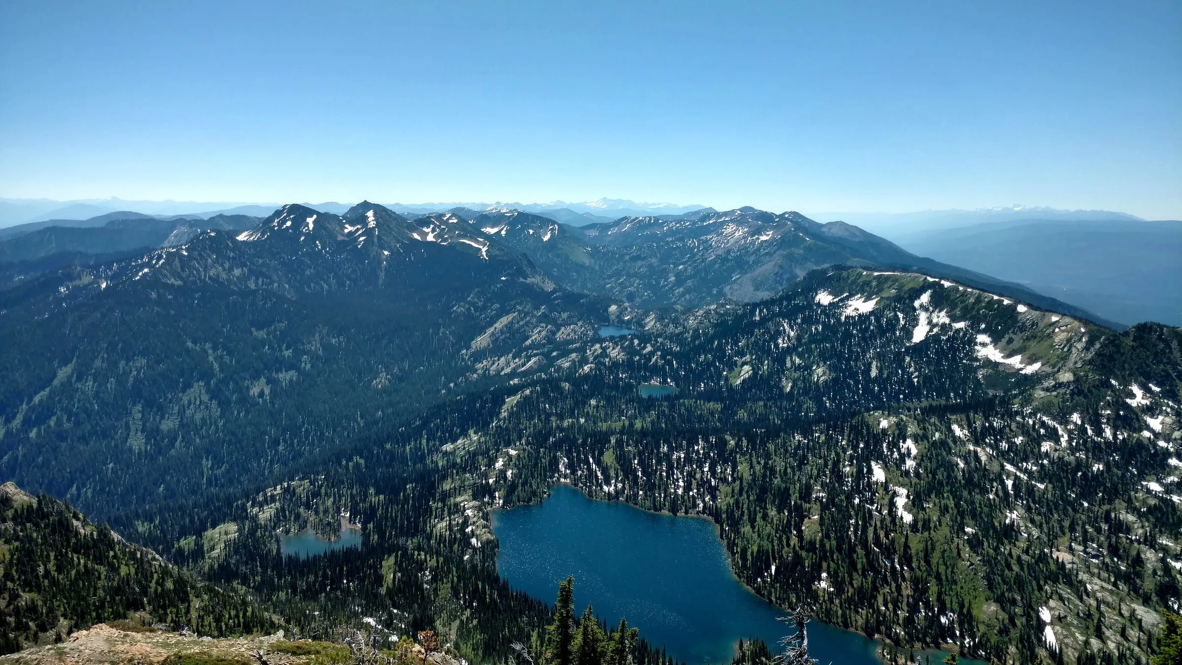
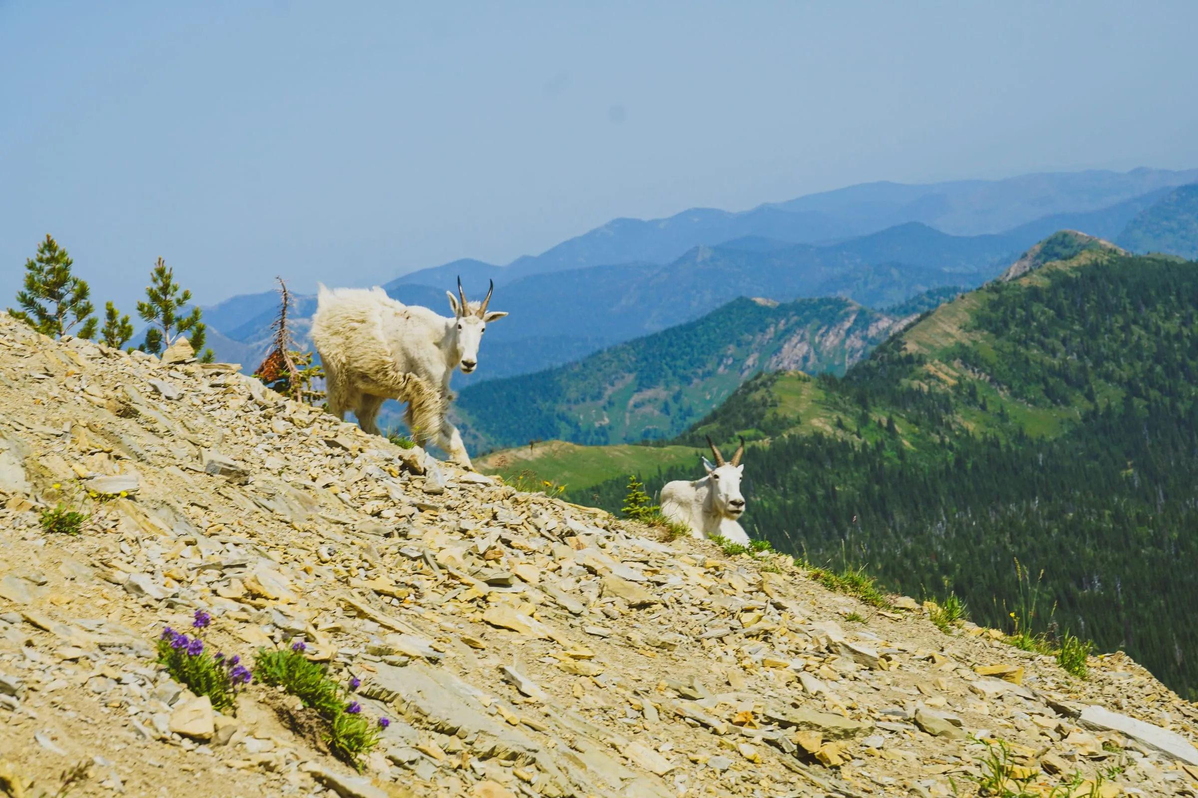
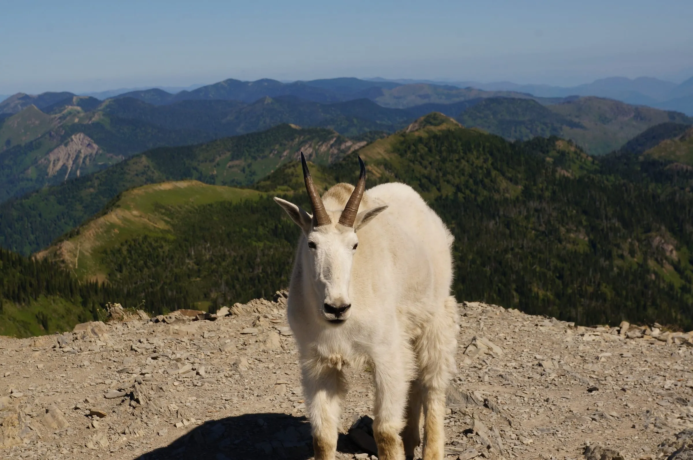
If you do one hike up here, make it this one. Trail #717 switchbacks up from Camp Misery through subalpine fir and open slopes to the summit at 7,528 feet. On a clear day you look straight down on Flathead Lake and the valley, east over Hungry Horse Reservoir to the peaks of Glacier, and north into the basin's string of lakes. Mountain goats hang around the top, often closer than you'd like. Give them room.
The Picnic Lakes loop
The loop takes the Aeneas trail up to the ridge, then drops into the basin to Picnic Lakes and Black Lake and comes back on Trail #721 past Twin Lakes. Hiking Project puts it at about 8.1 miles with about 1,975 feet of climbing; cutting out the Twin Lakes section saves about 2.2 miles (Hiking Project). It's the one to pick for a full, unhurried day with a long lunch at the water.
Birch Lake
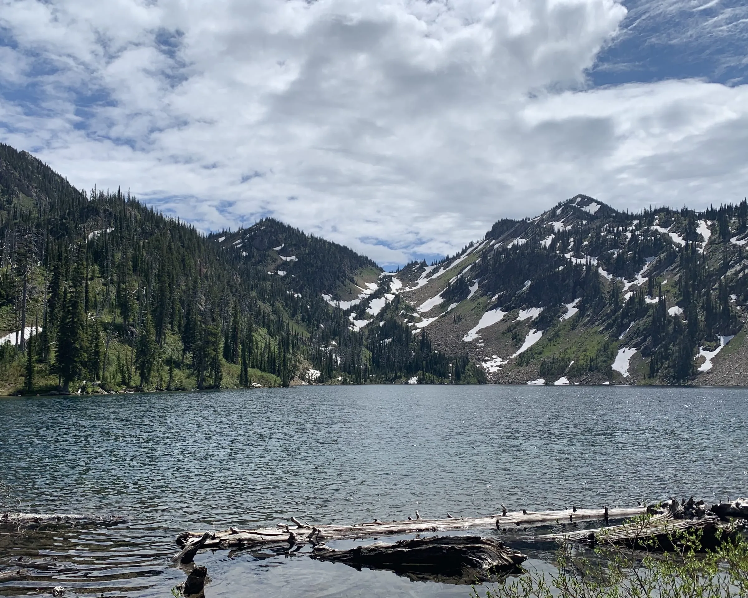
The gentlest of the three, on Alpine Trail #7, which carries on past Birch Lake toward Crater Lake and deeper into the basin. Birch Lake is clear and shallow at the edges and very cold, which makes it a favorite swim (the hero photo at the top of this page is a Forest Service shot of exactly that). Remember the rule here: no fires within 500 feet of Birch, Twin, Picnic or Crater lakes.
The park is for the car and the overlooks. The Jewel is for the dog. Go up early, eat lunch at Birch Lake, and be back on the dock by four.
Getting to Camp Misery: the road
From our door it's 20 mi · 50 min, north through Bigfork. The Forest Service's directions: take Highway 35 north to Highway 83, east on 83 to Echo Lake Road, north about 3 miles to the Jewel Basin Road (Forest Road 5392), then about 7 miles up to the trailhead (USFS). The last 5 miles are steep gravel, with washboard and potholes most summers. The Forest Service advises caution for low-clearance vehicles, says trailers aren't recommended, and suggests headlights for safety.
- Get there early. The Forest Service warns that the Camp Misery lot "can be very crowded on blue bird days" (USFS). On a sunny July weekend, aim to park by 8 AM.
- Bring all your water. There's no drinking water at the trailhead or in the basin's facilities; filter lake water if you need more.
- There are vault toilets at the trailhead, and no fee.
- Other ways in: the regulations list eight other trails into the basin, including Strawberry Lake #5 and Wheeler Creek #64, for longer or quieter days (USFS).
The rules: dogs, bikes, horses, fires and bears
All from the Flathead National Forest's Jewel Basin pages and regulations, checked November 6, 2026.
- Dogs: on a leash and under physical control at all times in the Jewel Basin and on all trails leading into it (regulations; USFS). That makes it one of the best dog hikes near Glacier, where dogs can't go on trails at all (see our dog guide).
- Hikers only. Stock (horses and pack animals), motorized and mechanized use, including mountain bikes, are prohibited inside the hiking area.
- Groups of 12 or fewer.
- Fires: none within 500 feet of the shores of Twin, Picnic, Birch and Crater lakes; elsewhere, allowed where not otherwise restricted, and the Forest Service asks you to use a fire pan or blanket rather than build a ring. In a dry summer, check the forest's alerts for fire restrictions.
- Bears: it's grizzly and black bear country, and food and other attractants must be stored in a bear-resistant way when you're not with them (food storage order). Carry bear spray where you can reach it.
- Camping: dispersed, anywhere in the basin, up to 14 days in any 30. Pack out everything you bring.
When to go
Mid-July through September is the sweet spot. Before that, snow can block the higher trails and the road can be muddy; the beargrass and wildflowers peak in July, huckleberries ripen in August, and September brings cool, clear days and fewer people. By mid-October it's usually getting wintry up high. Our best time to visit guide covers the months for the lake and the park.
After the hike
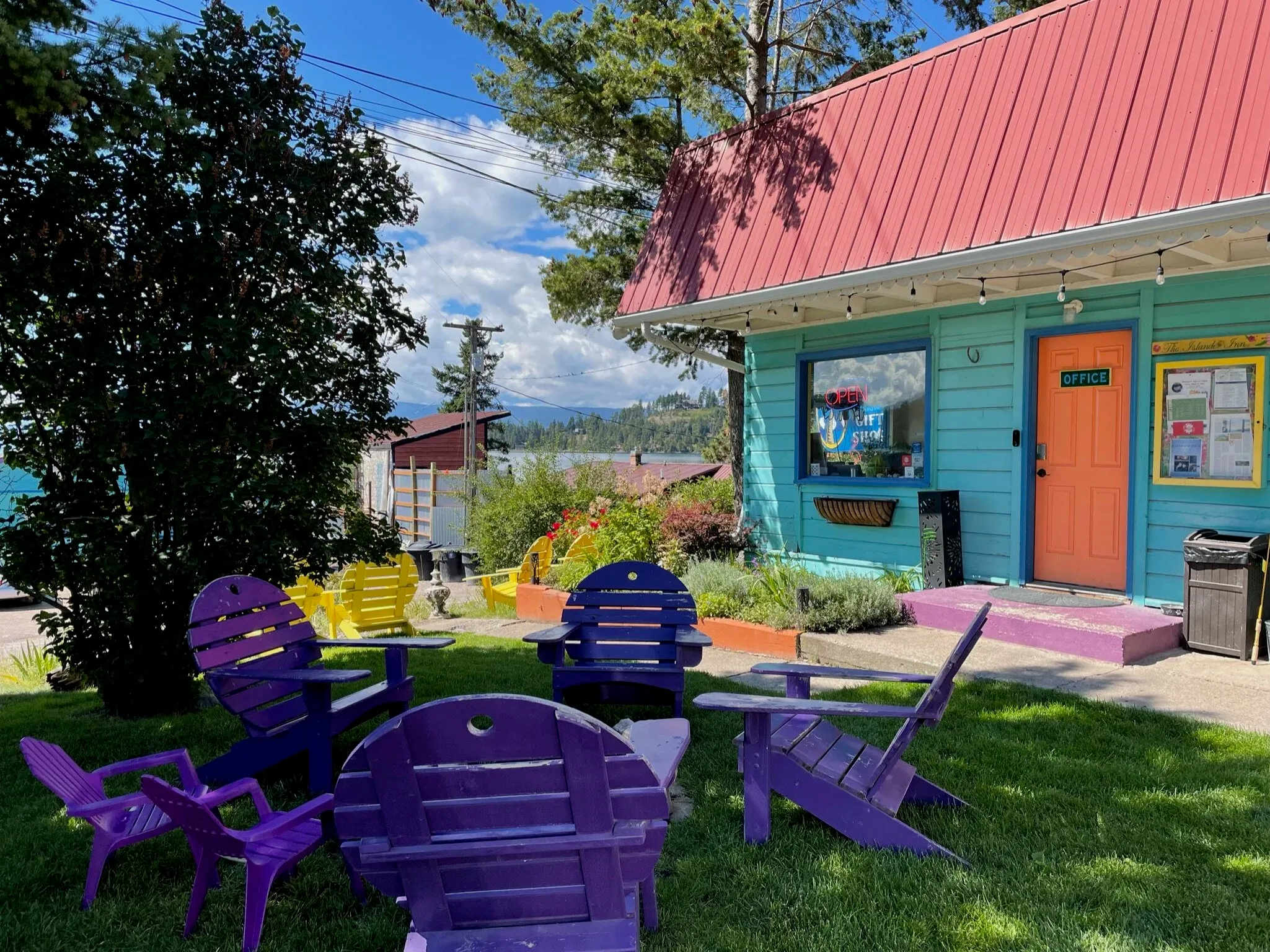
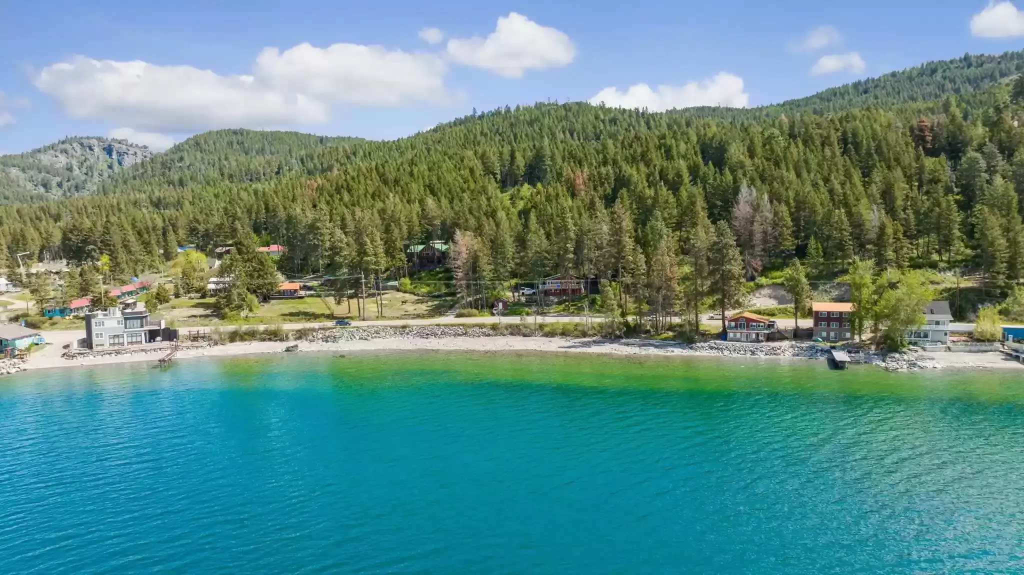
The best part of the Jewel from Woods Bay is the end of the day. You're back at the lake in under an hour, in time for a cold swim off The Sitting Duck's dock and dinner a short walk from your room. On cooler evenings, there's a fire pit with free firewood on our lawn. If it's warm, the east-shore beaches are on the way home.
Questions people also ask
Are dogs allowed in the Jewel Basin?
Yes, on a leash. The Forest Service's regulation says dogs "must be on a leash and under physical restrictive control at all times" in the Jewel Basin and on all trails leading into it, for wildlife, resource and visitor protection (USFS). Bring water for the dog: there's none at the trailhead.
Do you need four-wheel drive to get to Camp Misery?
Usually not, but take it slow. The Forest Service describes about 7 miles of road from Echo Lake Road, with the last 5 steep, and advises caution in low-clearance vehicles; trailers aren't recommended (USFS). Most summers an ordinary car makes it in dry weather. Rental-car rules on gravel roads are worth checking.
When is the Jewel Basin snow-free?
Most years, the trails from Camp Misery clear sometime in July, and the basin is at its best from mid-July through September. The trailhead is around 5,700 feet and the ridges go well above 7,000, so snow can linger on north slopes into July. For current conditions, call the Hungry Horse–Glacier View Ranger District at 406-387-3800 (USFS).
Can you mountain bike or ride horses in the Jewel Basin?
No. It's a hiker-only area: stock, motorized and mechanized use (bikes included) are prohibited inside the hiking area boundary (USFS). That's a big part of why it's so pleasant to walk.
Can you camp or have a campfire in the Jewel Basin?
You can camp anywhere in the basin, at dispersed sites, for up to 14 days in 30, in groups of 12 or fewer. Fires are allowed where not otherwise restricted, except within 500 feet of Twin, Picnic, Birch and Crater lakes. It's bear country, so food and other attractants must be stored bear-resistant (USFS). Check the forest's alerts for summer fire restrictions.
Is there a fee for the Jewel Basin?
No fee is required at the Camp Misery trailhead, according to the Forest Service (USFS). Groups over 12 aren't allowed in the basin at all.
Keep planning
 Q&A Can you bring a dog to Glacier National Park, and where can dogs go nearby? What the park allows, the one paved path dogs can walk, and the trails and lake spots outside it.
 Place guide Where can you swim on Flathead Lake? Beaches, public access and water temperature The east-shore swims near us, what the state parks charge, and how cold the water really is.
 Seasonal When is the best time to visit Glacier and Flathead Lake? March to mid-October, month by month: the park, the Sun Road, the lake and the cherries.
 Comparison Which side of Flathead Lake is better to stay on? Bigfork and the orchards or Lakeside and Big Arm: how the two shores really differ, with drive times.
Sources
- USDA Forest Service, Flathead National Forest: Jewel Basin Hiking Area ("Dogs must be on a leash", no potable water, horses not allowed), checked November 6, 2026
- USDA Forest Service: Camp Misery Trailhead (directions, road, no fee, vault toilets), checked November 6, 2026
- USDA Forest Service: Jewel Basin Hiking Area Regulations (dogs, party size, hiker only, fires near lakes), checked November 6, 2026
- USDA Forest Service: Jewel Basin Hiking Area Regulations, the order itself (PDF)
- USDA Forest Service, Northern Region: NCDE food and wildlife attractant storage order
- Hiking Project: Jewel Basin Loop (distance and climb, approximate)
- Hiking Project: Mt. Aeneas Trail #717