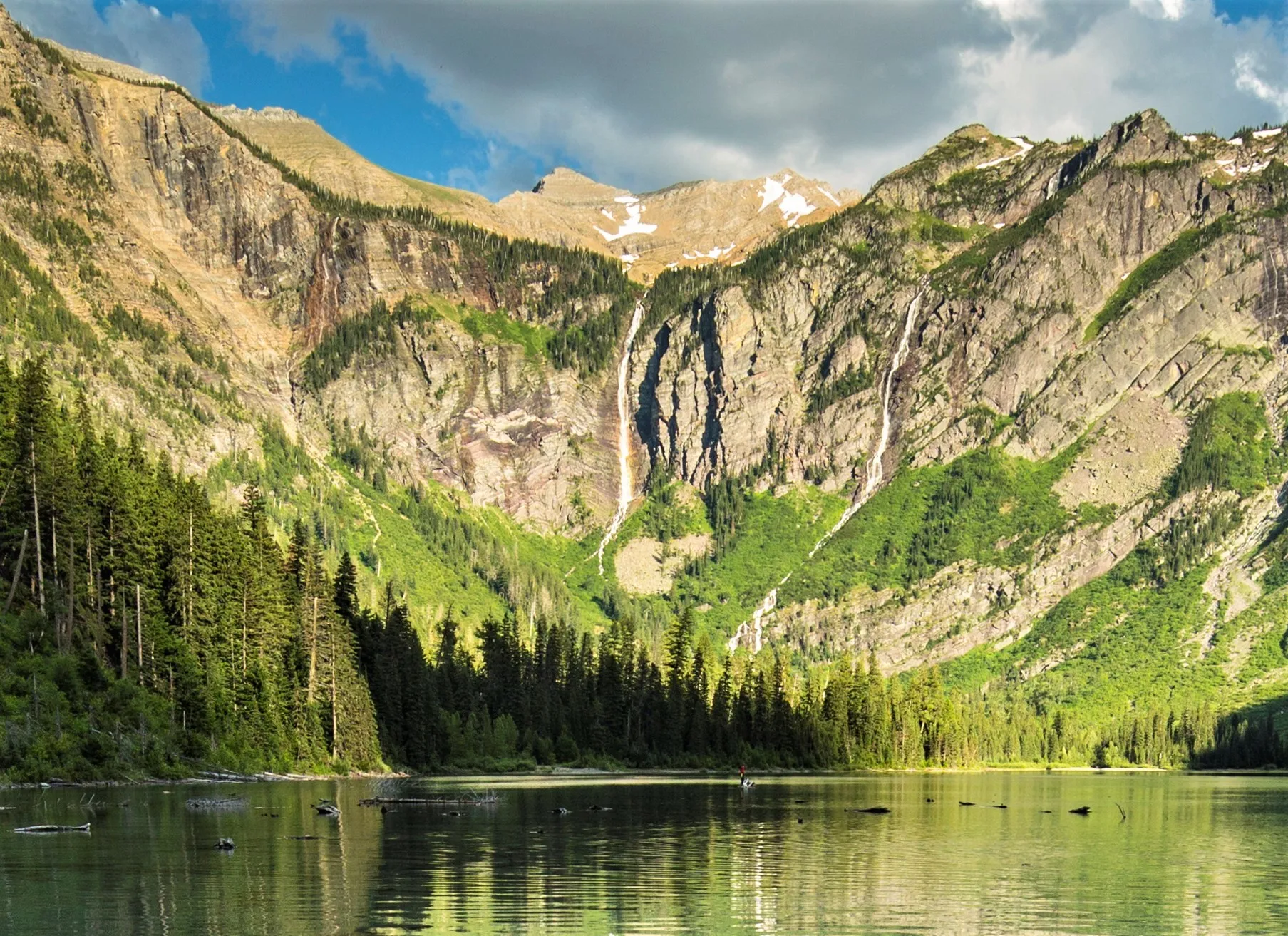
Avalanche Lake is the hike our guests ask about most, and the one we send almost everyone on. It's the best payoff for the effort on the west side: an easy boardwalk through giant cedars, a gorge of blue water, a steady climb through old forest, and then the lake, with waterfalls pouring off the cliffs at its head. Here's how to do it from Flathead Lake without circling for a parking space.
How do you hike Avalanche Lake?
The numbers, from the park's trail page:
| Section | Distance | Climb | What it's like |
|---|---|---|---|
| Trail of the Cedars, to the Avalanche Lake junction | Part of a 0.9-mile loop | Almost flat (83 ft for the whole loop) | Boardwalk and paved path through old western redcedar and hemlock; wheelchair accessible |
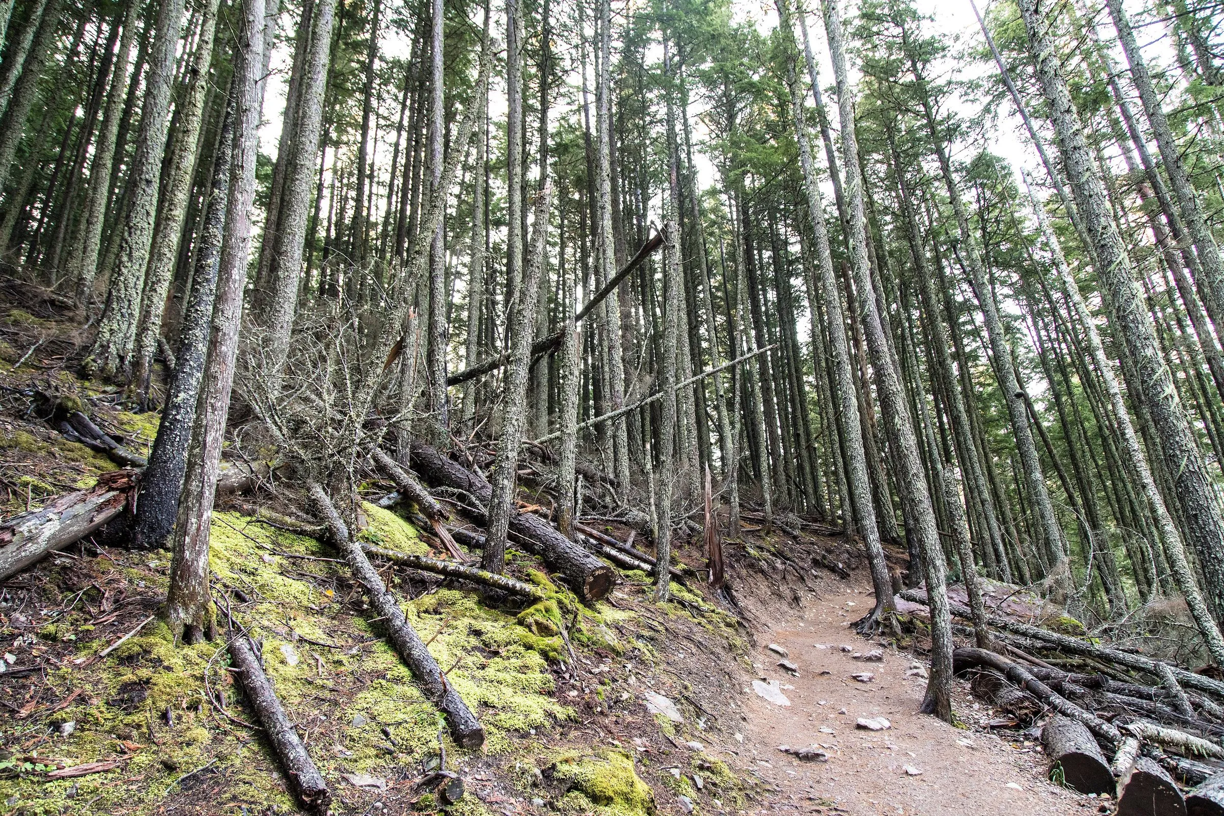
| Avalanche Lake Trail | 2.3 mi one way from the picnic area | 741 ft up, 275 ft down | Steady climb on dirt, past Avalanche Gorge and through mossy forest, then a short drop to the lake |
| Round trip | About 4.6 mi | About 1,000 ft up and down in all | 3 to 4 hours with time at the lake |
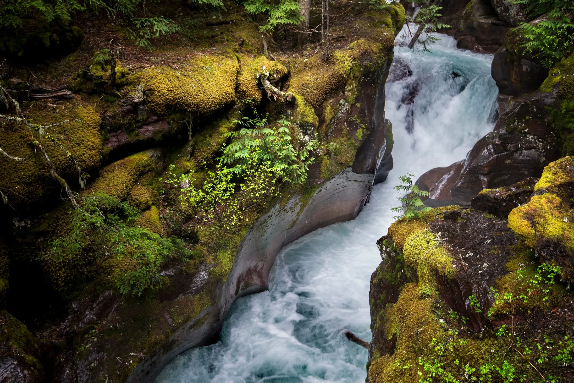
Start at the Avalanche Picnic Area and follow the Trail of the Cedars boardwalk upstream. Just past the bridge at Avalanche Gorge, where the creek has cut a narrow slot of blue water through red rock, the Avalanche Lake Trail turns off and starts to climb. From there it's a steady walk uphill through the forest, with the creek on your right much of the way. Near the top the trail levels, drops a little, and comes out on the gravel shore at the foot of the lake.
At the lake, the cliffs rise about 2,000 feet on three sides and several waterfalls, fed by Sperry Glacier's basin far above, pour down them. Most people stop on the beach at the foot. If you walk the shore trail along the lake's west side toward the head, the crowd thins fast.
Where do you park for Avalanche Lake?
The trailhead is at the Avalanche Picnic Area, at Avalanche Creek on Going-to-the-Sun Road, about 5 miles past Lake McDonald Lodge. There are parking lots on both sides of the road, and the Avalanche Campground and picnic area are right there. From our door it's 60 mi · 1 hr 30 min without stops, through West Glacier and along the whole length of Lake McDonald.
The lots are the catch. Avalanche is one of the busiest trailheads in the park, and on a summer day the parking fills up in the morning and stays full. The park doesn't publish a fill time, so this is our advice from sending guests there: in July and August, be parked by about 7:30 AM. That means leaving Woods Bay by about 6:00 AM to arrive about 7:30 AM. Coffee and tea are in your room; pack breakfast and lunch, because we don't serve meals and there's little open on the way that early.
- If the lots are full, don't park on the shoulder or the vegetation; the park asks visitors to use only marked spaces (NPS). Go on to Logan Pass or back to Lake McDonald and try again in the afternoon.
- Late afternoon works too. Leave Woods Bay about 2:30 PM, start walking around 4, and you have the lake in evening light with plenty of daylight left in July.
- RVs and trailers: the Sun Road's vehicle limit (21 feet long, 8 feet wide, including mirrors) starts at Avalanche Creek, so you can drive a larger rig as far as the trailhead, but not beyond it (NPS). Space for big vehicles in the lots is tight in summer.
Is there a shuttle to Avalanche Lake in 2026?
No. The free hop-on shuttle that used to stop at Avalanche was replaced in 2026 by a ticketed express shuttle that runs only from Apgar and Lake McDonald Lodge to The Loop and Logan Pass. The park said "Avalanche Lake and the Trail of the Cedars will not be accessible by park shuttle" (NPS). How the 2026 shuttle worked, and what 2027 might bring, is in our reservations guide and our Logan Pass shuttle and parking guide.
When to hike Avalanche Lake
Because it's low on the Sun Road, Avalanche opens long before Logan Pass and stays reachable well after. The road from West Glacier to Lake McDonald Lodge is usually open all year, and in fall, after the road closes over the pass, the west gate moves to Avalanche Creek or Lake McDonald Lodge (NPS).
- Late May and June: the waterfalls are at their biggest with snowmelt, and the trail can be muddy. Low trails are often wet with puddles through June (NPS trail status).
- July and August: the busiest months. Go early or late, as above.
- September: our favorite month for it. Cooler, quieter after Labor Day, with the falls still running. Bears are especially active, foraging up to 20 hours a day (NPS).
- October: often still possible; see the FAQ below.
Bears on the Avalanche Lake trail
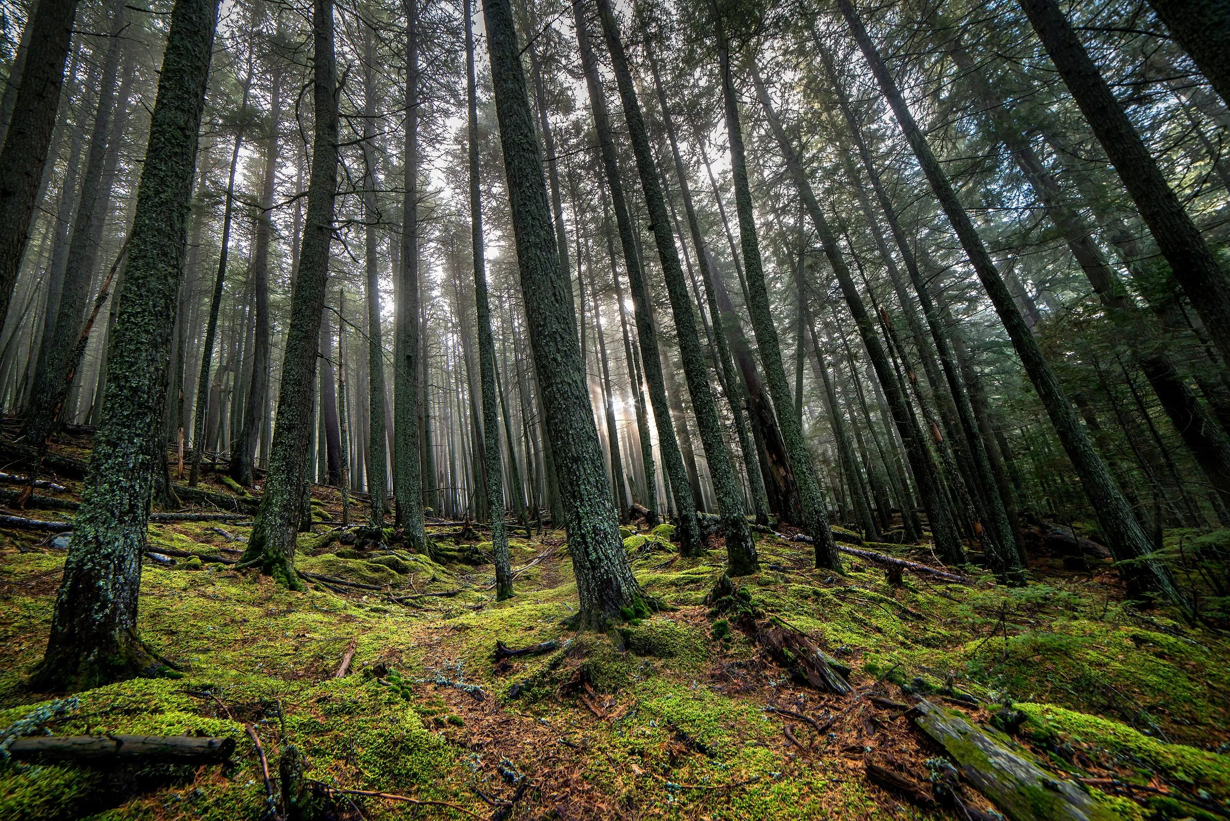
Black bears and grizzlies both live in this valley, and the trail runs through thick forest along a loud creek, exactly the kind of place where you can surprise one. The park's advice (NPS bear safety):
- Carry bear spray where you can reach it, and know how to use it. Rent it in Apgar Village or West Glacier; see our bear spray guide.
- Make noise: call out and clap now and then, especially near the creek and on blind corners. The park says bear bells aren't enough.
- Hike in a group. The park says there have been no reported attacks on groups of four or more in Glacier.
- Don't run on the trail, keep children close, and never leave food or a pack unattended at the lake.
- Stay at least 100 yards from bears. Trails sometimes close for bear activity; check the trail status page before you go.
Making a day of it from Flathead Lake
Avalanche fits neatly into a west-side day. Hike first thing, eat lunch at the Avalanche picnic tables or at Lake McDonald Lodge, then either drive on up the Sun Road (our driving guide has the stops) or come back down to the lake for a swim. Our Lake McDonald and Apgar guide has the boat tour and the beaches. If you're driving to Logan Pass yourself, do it first: the park says that lot usually fills by sunrise, so leave Woods Bay by 4:30 AM and stop at Avalanche on the way down.
Want something gentler? The Trail of the Cedars loop alone is 0.9 miles and almost flat. Our easy west-side hikes has more like it.
Leave at 6:00 AM, bear spray in the side pocket, lunch in the pack. Walk the shore to the far end of the lake, eat there, and be back at the car before the noon rush is even looking for a space.
Questions people also ask
How long does it take to hike to Avalanche Lake?
Most people take 3 to 4 hours for the round trip, including time at the lake. It's 2.3 miles each way from the Avalanche Picnic Area, with 741 feet of climbing (NPS), so about 4.6 miles in all. Fit hikers do it in about 2 hours; families with small children should plan on more.
Is the Avalanche Lake hike hard?
It's moderate. The climb is steady but never steep for long, on a wide, well-used dirt trail through old forest, with roots and rocks underfoot. If you can walk 5 miles with a gentle hill, you can do it. School-age kids do it all summer.
Is there a shuttle to Avalanche Lake?
Not in 2026. The park's ticketed shuttle ran only to Logan Pass (stopping at The Loop), and the park said plainly that "Avalanche Lake and the Trail of the Cedars will not be accessible by park shuttle" (NPS). You drive yourself. 2027 hasn't been announced.
What is the best time of day to hike Avalanche Lake?
Early morning, for the parking and a calm lake that reflects the cliffs, or late afternoon, when the morning crowd has gone and the light is warm on the waterfalls. Midday in July and August is the busiest: full lots and a crowded shore.
Do you walk the Trail of the Cedars on the way to Avalanche Lake?
Yes, the first stretch. Start at the Avalanche Picnic Area and follow the Trail of the Cedars boardwalk upstream; just past the bridge at Avalanche Gorge, the Avalanche Lake Trail turns off and starts to climb. You can walk the rest of the boardwalk loop on the way back.
Can you hike to Avalanche Lake in October?
Usually, yes. After the Sun Road closes over Logan Pass (usually the third Monday in October), the west-side gate moves to Avalanche Creek or Lake McDonald Lodge, depending on the weather (NPS). If it's at Avalanche Creek you can still drive to the trailhead; if it's at the lodge, it's a walk or bike ride up the closed road first.
Keep planning
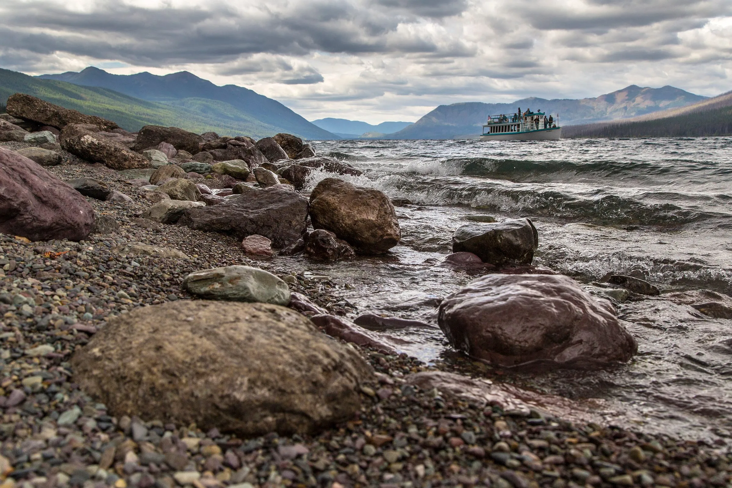 Place guide What's there to do at Lake McDonald and Apgar? The beach, the boats, the lodge and the short walks on the park's biggest lake.
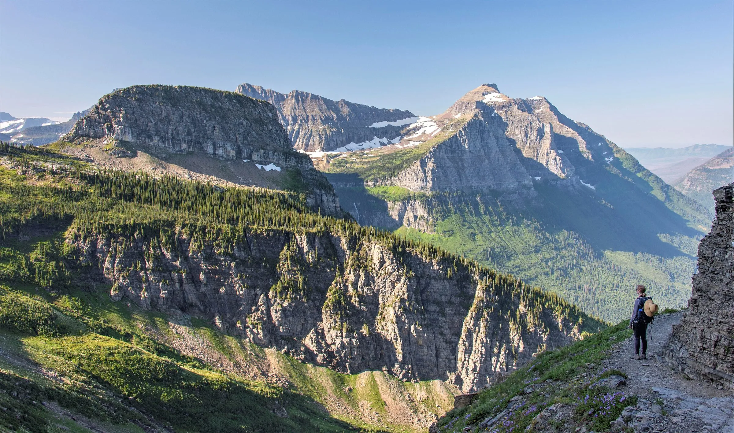 Place guide How do you hike the Highline Trail with the 2026 shuttle rules? The shuttle plan from the west side, the ledge, the chalet and the trail's opening.
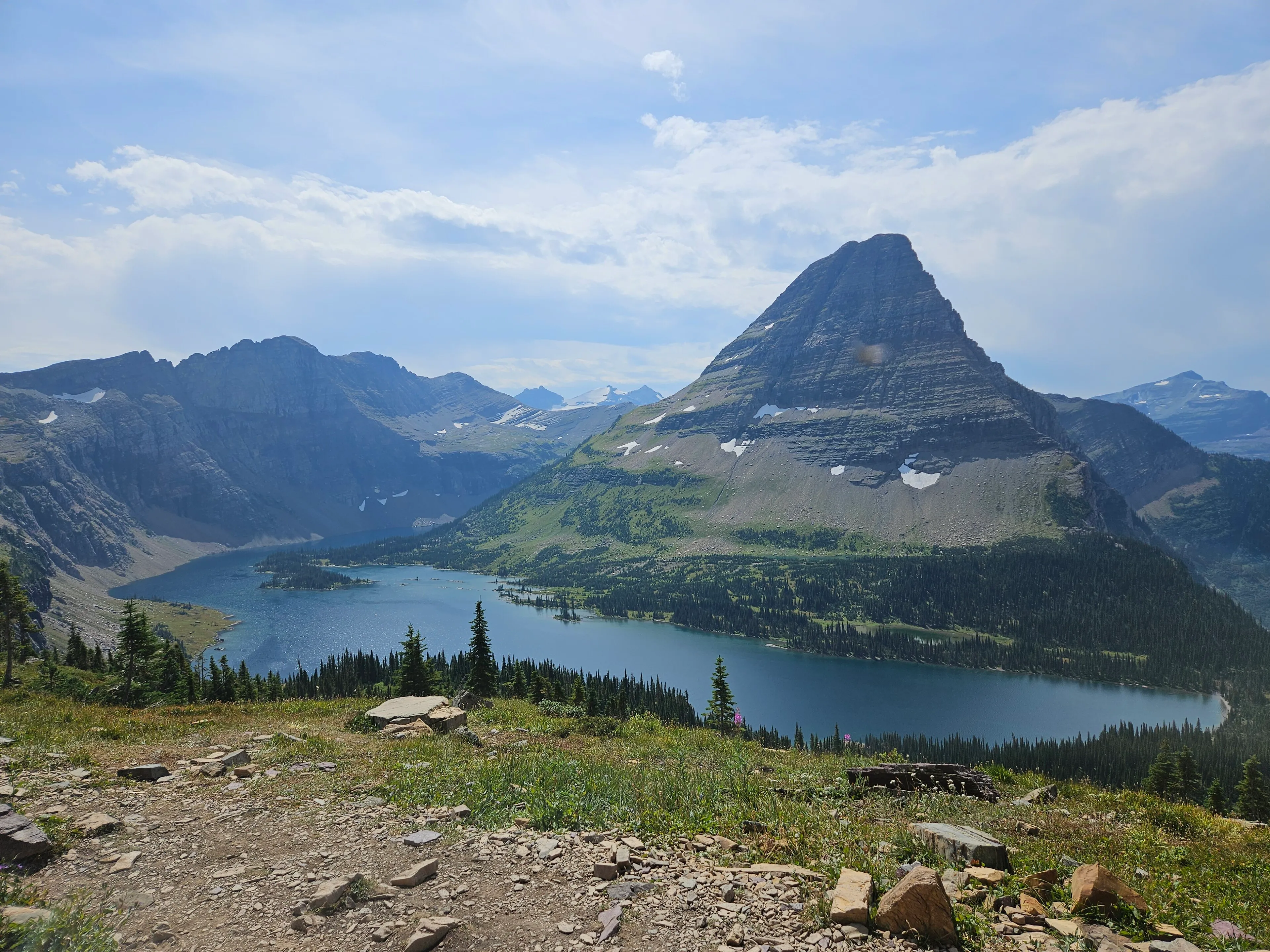 Place guide What are the best easy hikes on Glacier's west side? Six short walks and easy hikes, in order of drive time from our door.
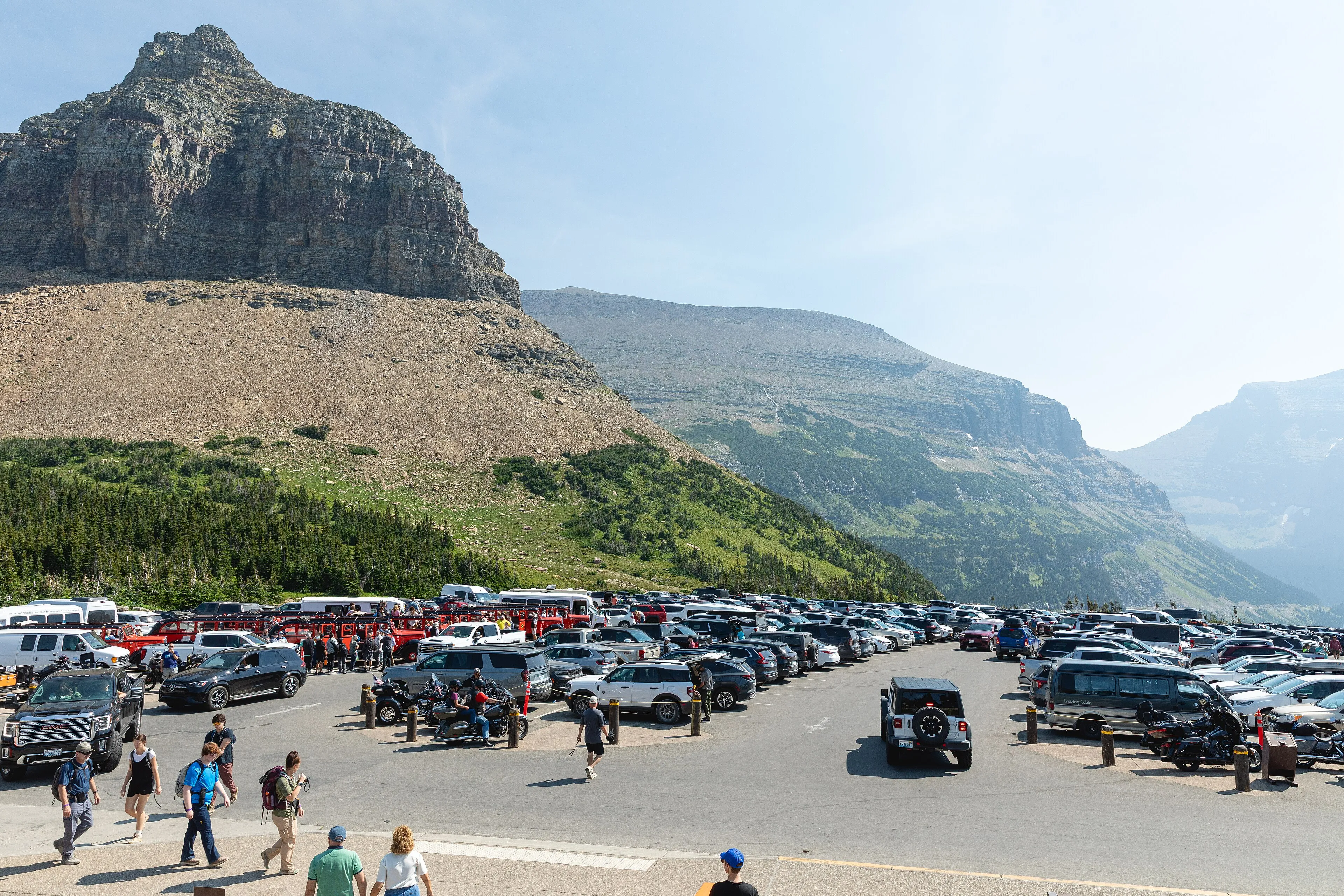 Resource How do the Logan Pass shuttle tickets and the 3-hour parking limit work? Ticket release times, boarding places, the 3-hour permit, and leave times from Woods Bay.
Sources
- NPS: Avalanche Lake Trail (2.3 mi one way, 741 ft gain, 275 ft loss, from the Avalanche Picnic Area), last updated March 21, 2026
- NPS: Trail of the Cedars (0.9-mile boardwalk loop, 83 ft, wheelchair accessible), last updated March 2, 2026
- NPS: Visiting Logan Pass in 2026 (Avalanche Lake and Trail of the Cedars not on the shuttle), last updated July 28, 2026
- NPS: Logan Pass Shuttle Service 2026 (boarding places and stops), last updated June 25, 2026
- NPS: Going-to-the-Sun Road general information (vehicle size limits from Avalanche Creek; picnic areas)
- NPS: Operating hours and seasons (fall gate at Avalanche Creek or Lake McDonald Lodge)
- NPS: Bear safety, last updated May 14, 2026
- NPS: Trail status reports, last updated August 28, 2026
- NPS: Pets in Glacier
- NPS news release, June 22, 2026: Going-to-the-Sun Road open (waits at West Glacier)
- Drive times: OpenStreetMap routing (OSRM), checked November 6, 2026; free-flowing traffic, no stops