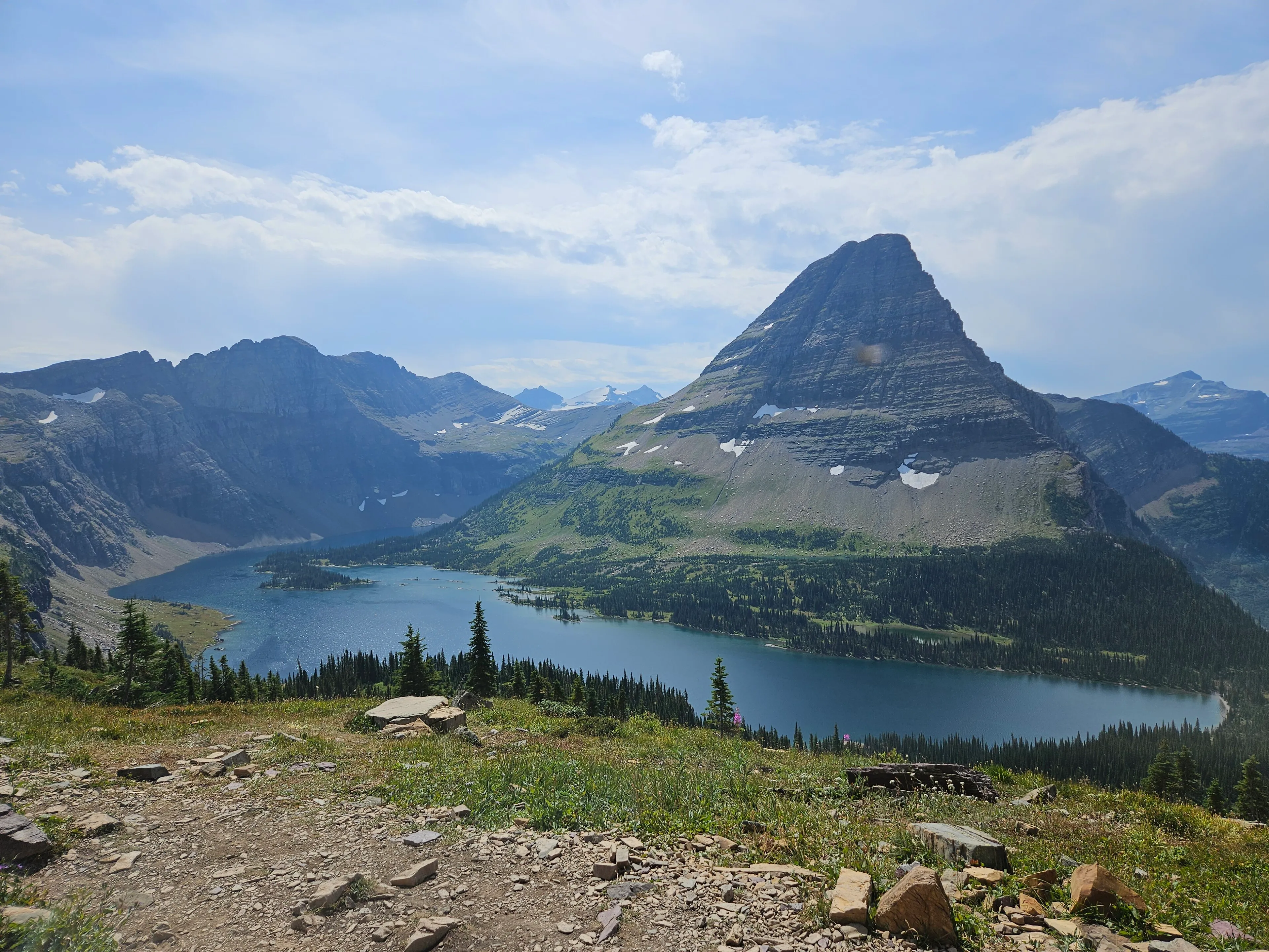
These are the walks we send guests on when they want a real taste of the park without a ten-mile day. They're in order of how far they are from our door in Woods Bay, so you can pick by how early you're willing to get up.
What are the best easy hikes on Glacier's west side? The list, closest first
| Hike | From our door | Length | Climb | 2026 shuttle? | Good for |
|---|---|---|---|---|---|
| Apgar Bike Path | 1 hr 5 min | 1.5 mi one way | 16 ft | No (it starts at Apgar) | Strollers, bikes, leashed dogs |
| Rocky Point | 1 hr 5 min | 0.7 mi loop | 224 ft | No | Lake views and a beach, quiet |
| Johns Lake Loop | 1 hr 25 min | 3 mi loop | 160 ft | No | Forest shade, a small lake, fewer people |
| Trail of the Cedars | 1 hr 30 min | 0.9 mi loop | 83 ft | No | Everyone: boardwalk, wheelchair-accessible |
| Avalanche Lake | 1 hr 30 min | 2.3 mi one way | 741 ft | No | The classic: a lake under waterfalls |
| Hidden Lake Overlook | 2 hr 10 min | 1.3 mi one way | 608 ft | Yes, Logan Pass | Alpine meadows, mountain goats |
Lengths and climbs are from each trail's NPS page. Drive times are without stops or traffic; in July and August, add time for the line at the West Glacier entrance and for parking. The park warns that lots often fill by early morning in summer. Before you go, check the park's trail status page for closures and bear activity.
Near Apgar and Lake McDonald: an hour from us
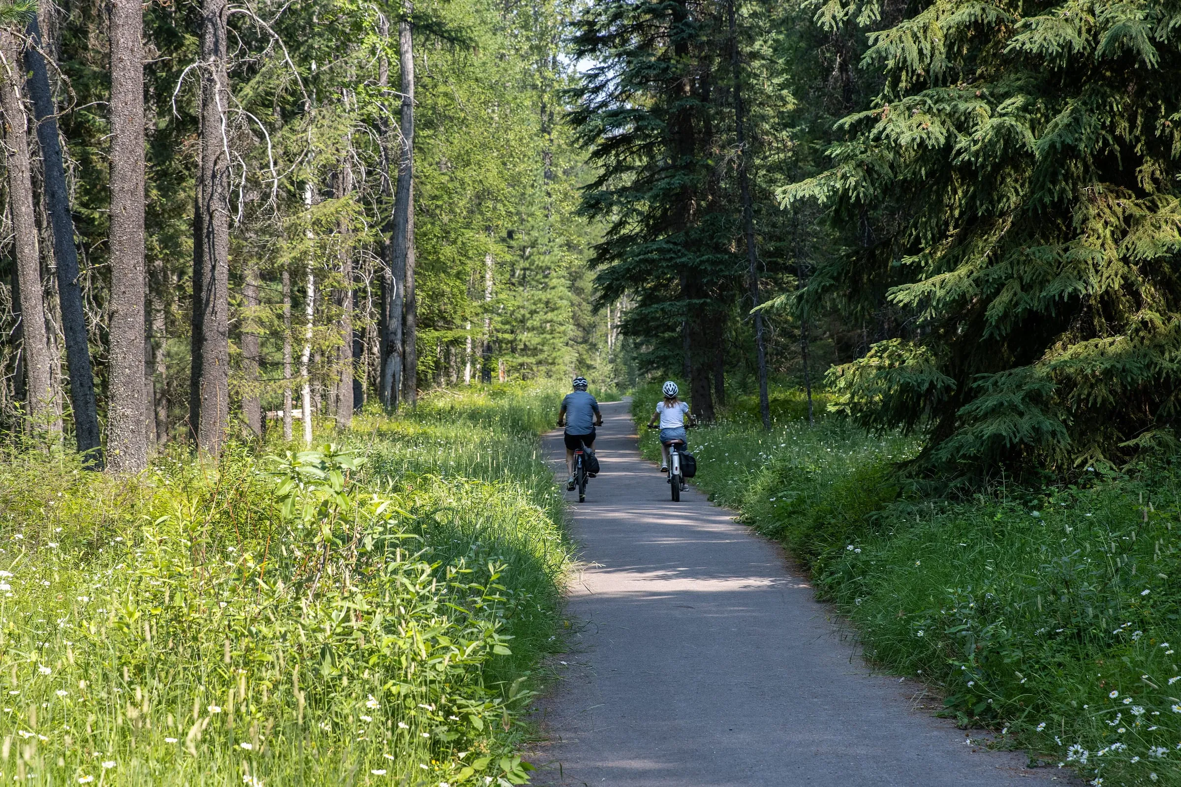
Apgar Bike Path
46 mi · 1 hr 5 min from us
A paved, shaded path, 1.5 miles each way between Apgar Village and West Glacier, with just 16 feet of climb (NPS). It crosses Going-to-the-Sun Road, so watch for cars. Leashed dogs are allowed when it's free of snow: the only trail on this list where they are.
Photo: NPS
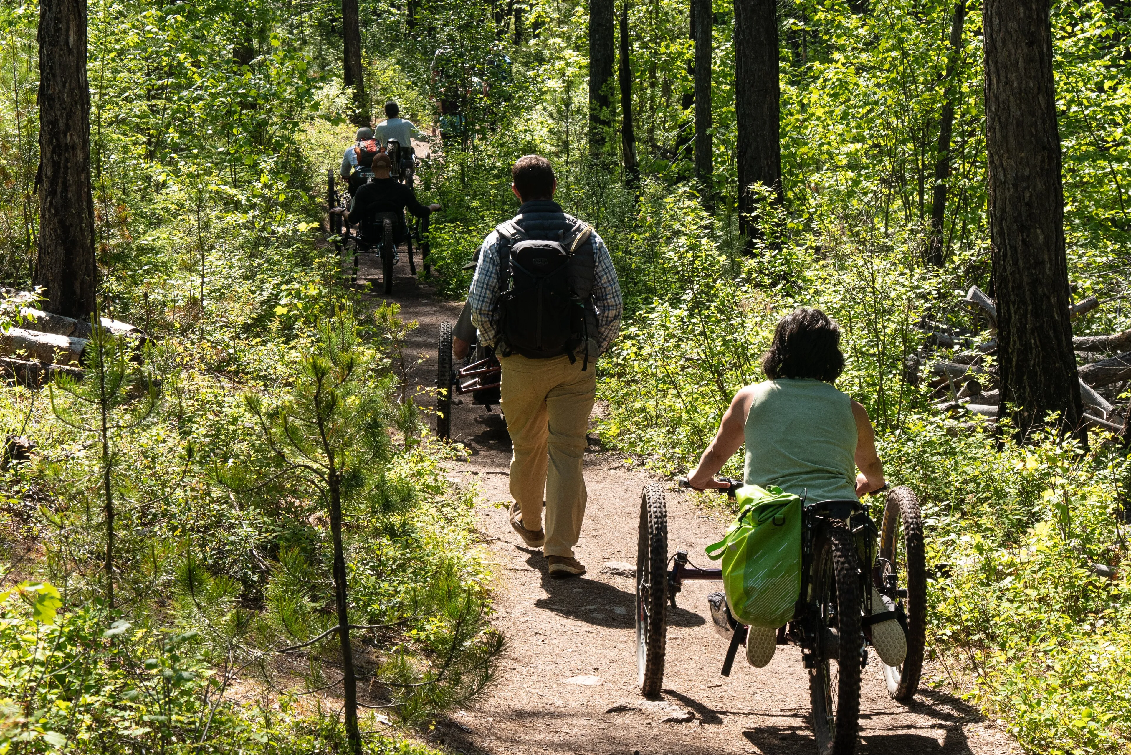
Rocky Point
About 47 mi · 1 hr 5 min from us
A 0.7-mile lollipop loop on Lake McDonald's west shore, through the burn of the 2003 Roberts Fire, with beach access and wide lake views (NPS). The park's own photos show groups on it with adaptive handcycles. The trailhead is near Fish Creek Campground; for a longer, mostly level walk, carry on along the Lake McDonald West Shore Trail.
Photo: NPS
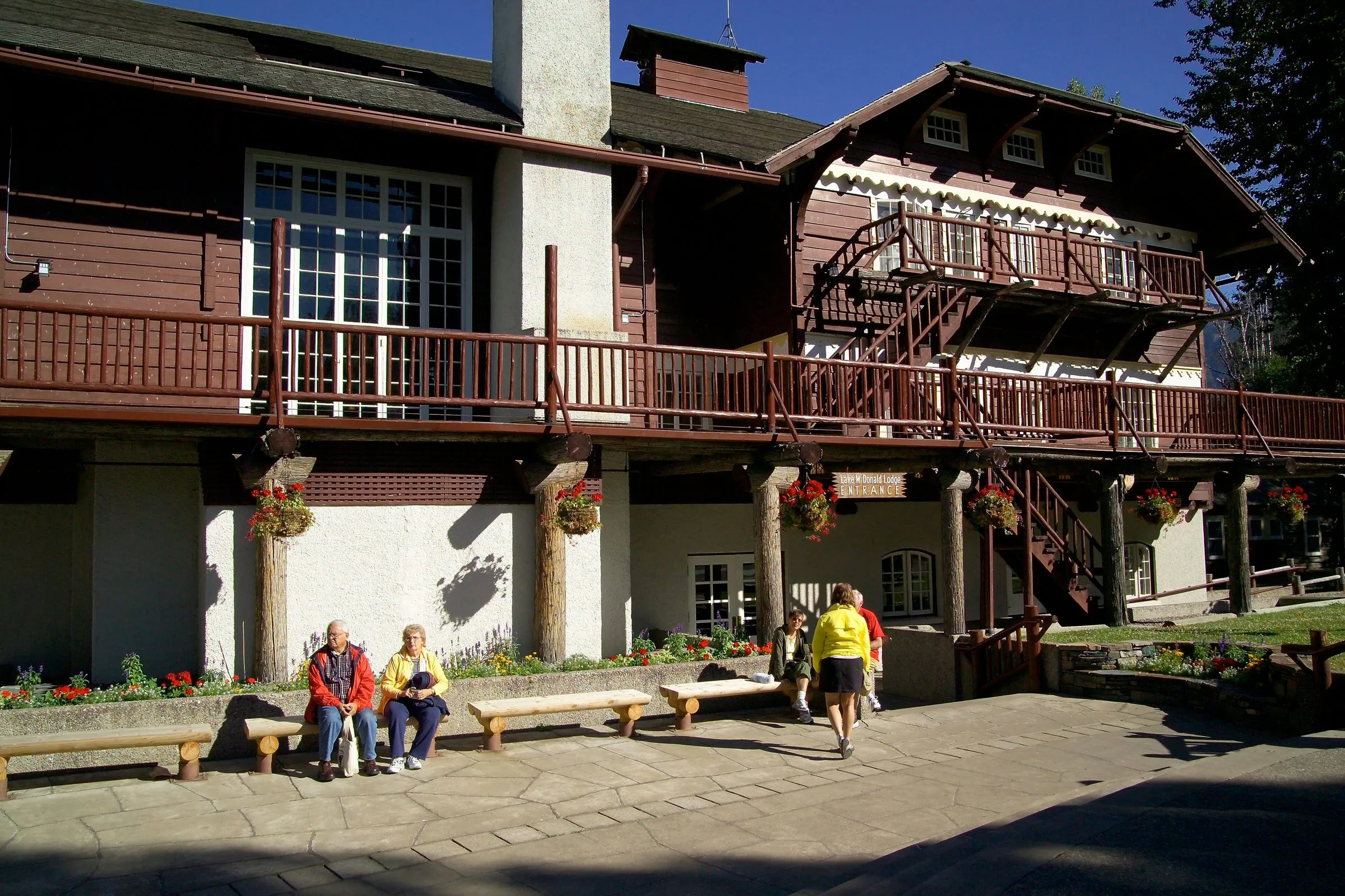
Johns Lake Loop
56 mi · 1 hr 25 min from us
A 3-mile loop with only 160 feet of climb (NPS), from a trailhead on Going-to-the-Sun Road a little past Lake McDonald Lodge, through forest to a small lake. Fewer people than Avalanche, and shade on a hot day. (Pictured: Lake McDonald Lodge, the landmark just before the trailhead.)
Photo: David Restivo, GlacierNPS, CC BY 2.0

At Avalanche Creek: an hour and a half from us
Trail of the Cedars and Avalanche Lake start at the same place, the Avalanche Picnic Area, 60 mi · 1 hr 30 min from our door. In 2026 neither was served by the shuttle (NPS), so you drive and park, and in July and August this lot fills early. We'd aim to be parked by about 8 AM, or come in the late afternoon.
Trail of the Cedars
60 mi · 1 hr 30 min from us
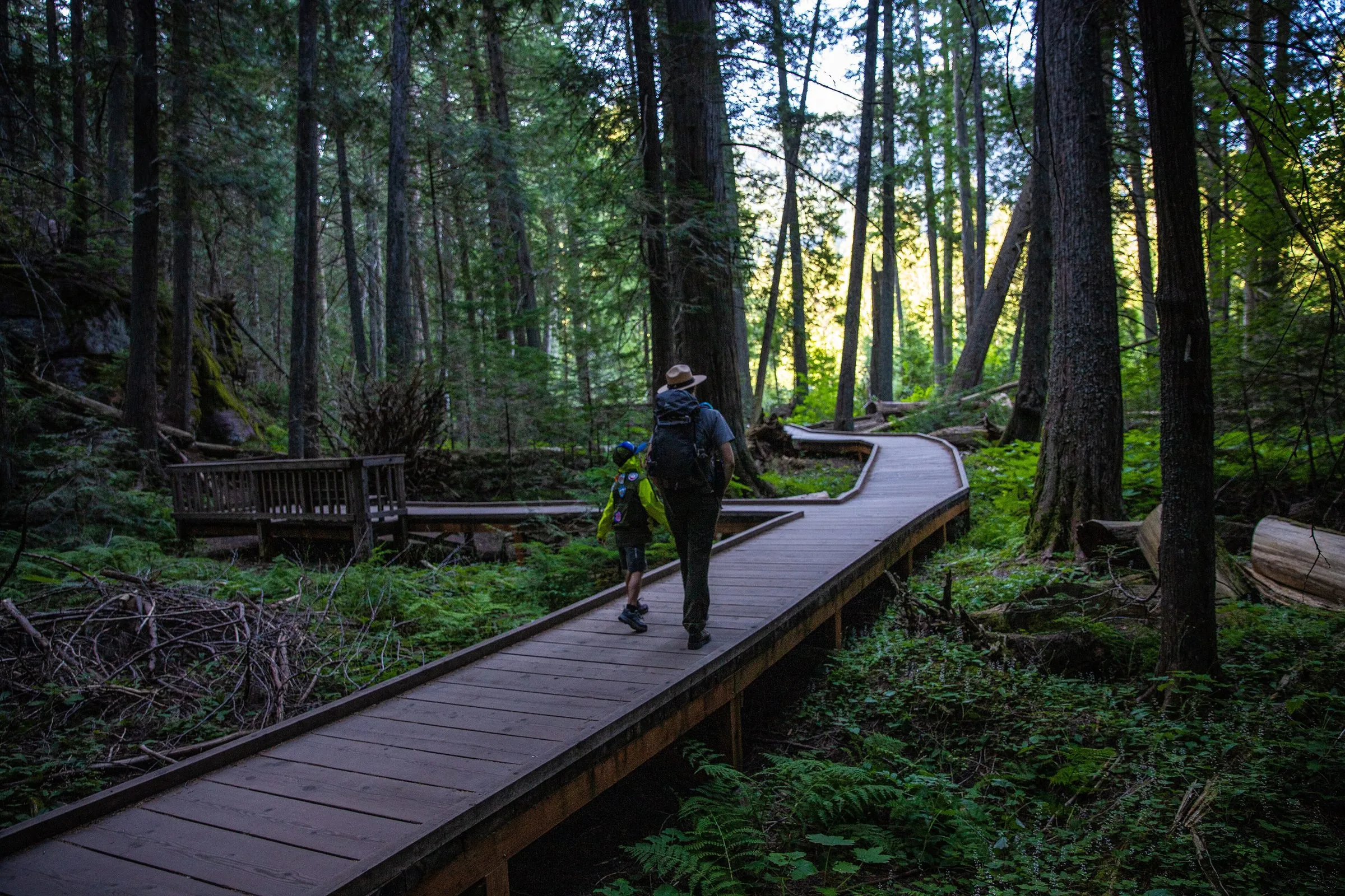
A 0.9-mile boardwalk loop with 83 feet of climb, wheelchair-accessible, through old-growth western red cedars along Avalanche Creek (NPS). Halfway round, the creek cuts a narrow red-rock gorge. Twenty minutes for anyone, all ages.
Photo: NPS
Avalanche Lake
60 mi · 1 hr 30 min from us
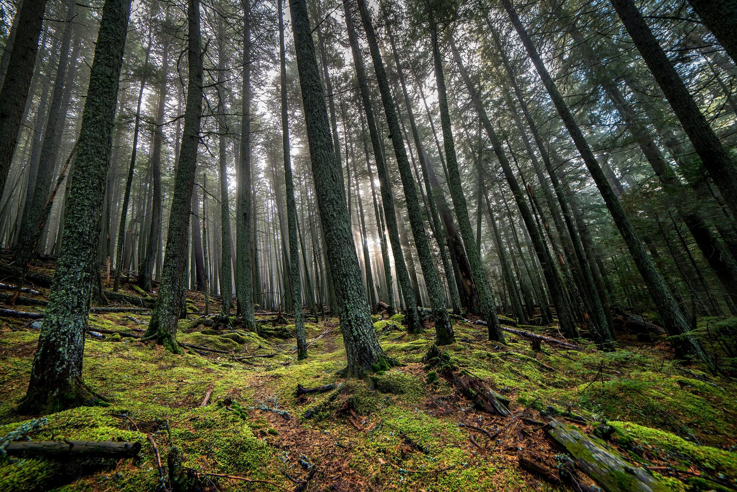
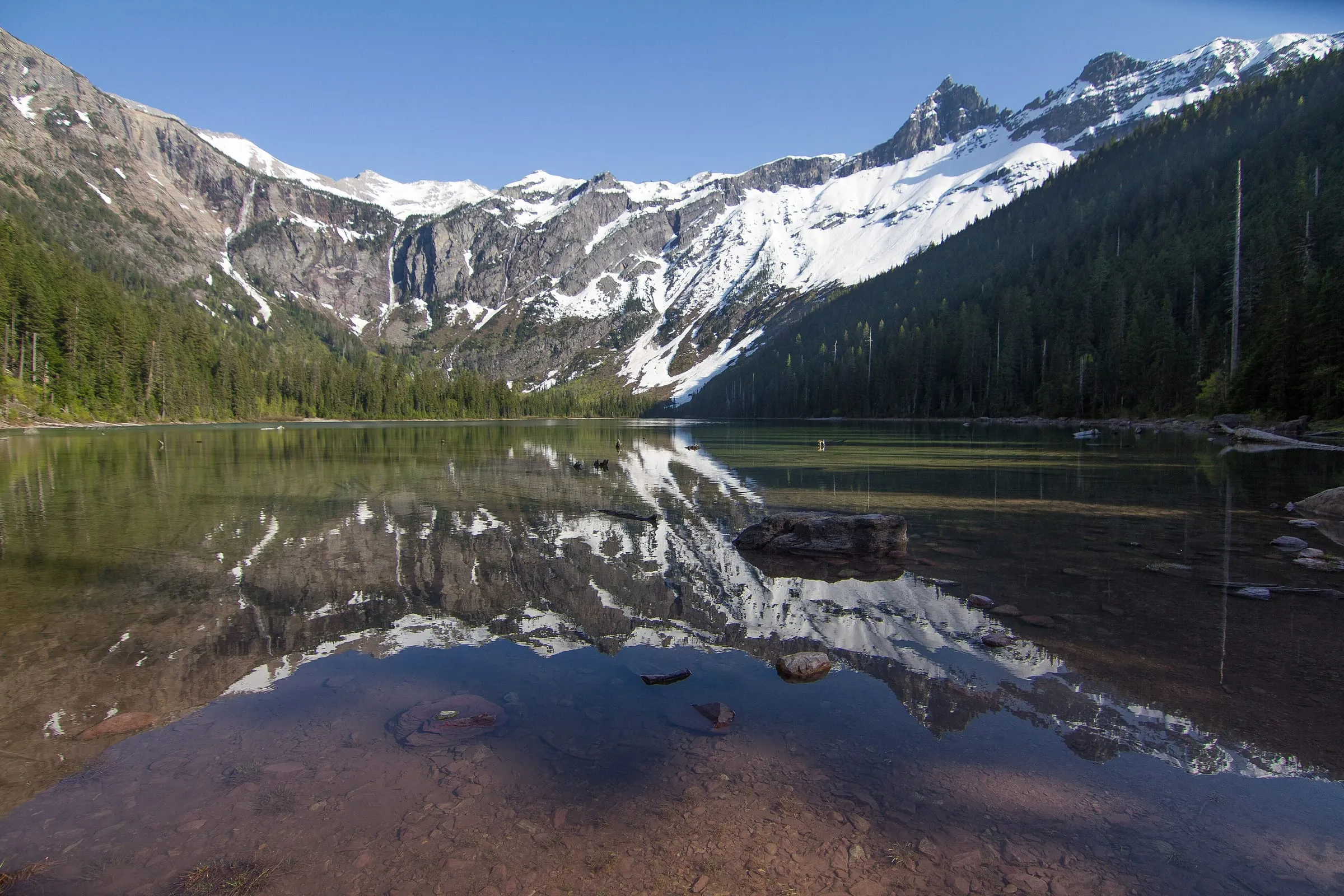
2.3 miles each way from the Trail of the Cedars, climbing a steady 741 feet through forest to a lake ringed by cliffs and waterfalls (NPS). The busiest easy hike on the west side, and worth it. Walk a little past the first beach along the shore for elbow room.
Photo: NPS
At Logan Pass: Hidden Lake Overlook
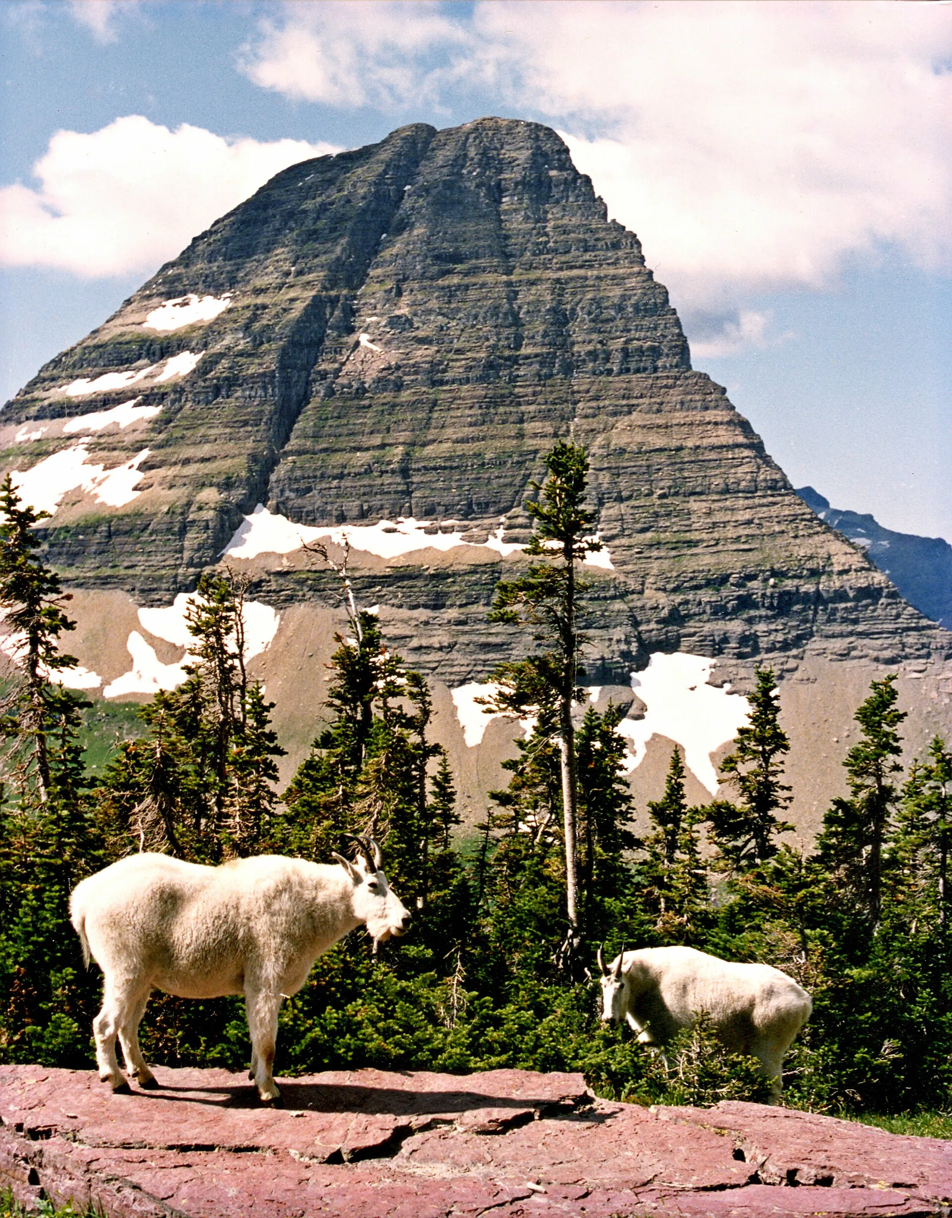
The one easy hike up top, behind the Logan Pass Visitor Center, 76 mi · 2 hr 10 min from us over Going-to-the-Sun Road. It's 1.3 miles each way with 608 feet of climb on boardwalk, stairs and packed trail, through alpine meadows to a view down to Hidden Lake below Bearhat Mountain (NPS). Mountain goats are often near the trail; give them room.
- In 2026, with your own car: parking was limited to three hours, which the park said covers the overlook (NPS). The lot usually fills by sunrise (NPS), so from Woods Bay that means leaving by 4:30 AM.
- In 2026, by shuttle: this was the only hike on this page the ticketed shuttle reached, from Apgar or Lake McDonald Lodge.
- Going on to Hidden Lake itself is 2.5 miles each way; the route loses 921 feet in all, most of it after the overlook, and you climb back out. That's not an easy hike, and it's tight inside a 3-hour permit.

Trail of the Cedars and Avalanche Lake in the morning, a picnic at Lake McDonald, and back at the lake for a swim by four.
Skip it if you want easy: Apgar Lookout
Apgar Lookout gets recommended as a short hike near the entrance, and it is close, but it's 3.6 miles each way with 1,966 feet of climb (NPS). That's a solid half-day climb, not an easy walk. Great view of Lake McDonald from the top, if you want the workout.
Planning an easy-hikes day from Flathead Lake
- One day, two hikes: Trail of the Cedars and Avalanche Lake together, then Lake McDonald on the way back. For more day plans, see our Glacier itineraries from Flathead Lake.
- Logan Pass day: Hidden Lake Overlook early, then stop at Avalanche on the way down when the morning crowd is leaving. Our Going-to-the-Sun Road guide has the stops between.
- With a dog: the Apgar Bike Path only; the rest are off limits (NPS).
- Bring: water, layers (Logan Pass is much cooler than the valley), and bear spray, and know how to use it.
Questions people also ask
What is the easiest hike in Glacier National Park?
The Trail of the Cedars: a 0.9-mile boardwalk loop with 83 feet of climb, wheelchair-accessible, through old cedars to the Avalanche Creek gorge (NPS). The paved Apgar Bike Path is flatter still, and it's the one place on this list where a leashed dog can come.
Is Avalanche Lake an easy hike?
It's moderate rather than easy: 2.3 miles each way with about 741 feet of climb (NPS). Our Avalanche Lake guide covers the trail, parking and timing.
Can you hike to Hidden Lake within the 3-hour parking limit?
The overlook, yes: 1.3 miles each way, which the park itself said fits in the 2026 three-hour limit (NPS). The lake itself is another 1.2 miles beyond: the full 2.5-mile route loses 921 feet, most of it after the overlook, and you climb back out. That's tight in three hours; take the shuttle if you want the shore.
When should you get to Avalanche Creek to find parking?
Early. In July and August the Avalanche Creek lot fills early, so we'd aim to be parked by about 8 AM, or come in the late afternoon. You have to drive: the 2026 shuttle didn't stop there (NPS; more on our shuttle guide).
Keep planning
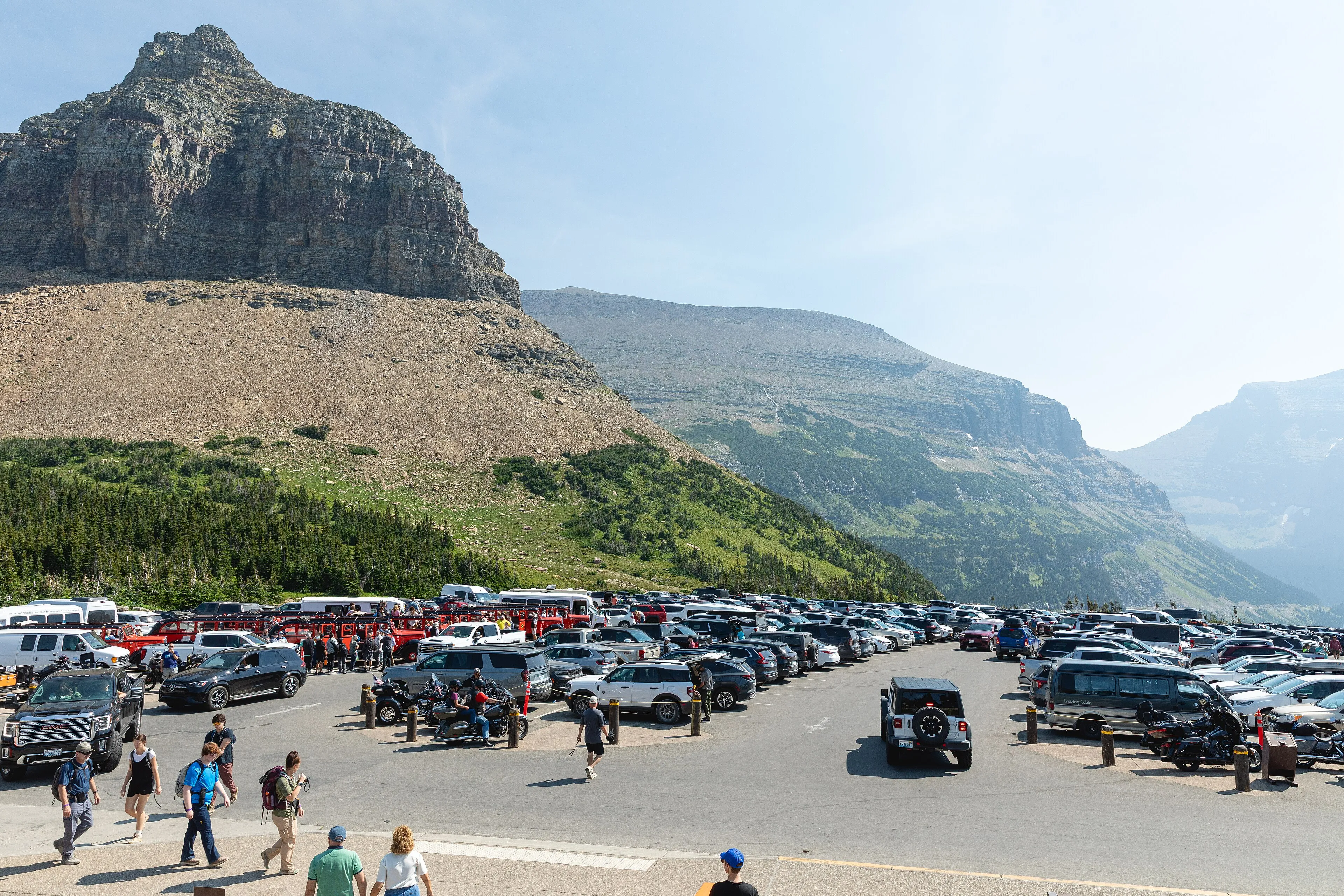 Resource How do the Logan Pass shuttle tickets and the 3-hour parking limit work? Ticket release times, boarding places, the 3-hour permit, and leave times from Woods Bay.
 Itinerary What's a good 1-, 2- or 3-day Glacier itinerary if you're staying on Flathead Lake? Park mornings, lake evenings: day-by-day plans with leave times from our door.
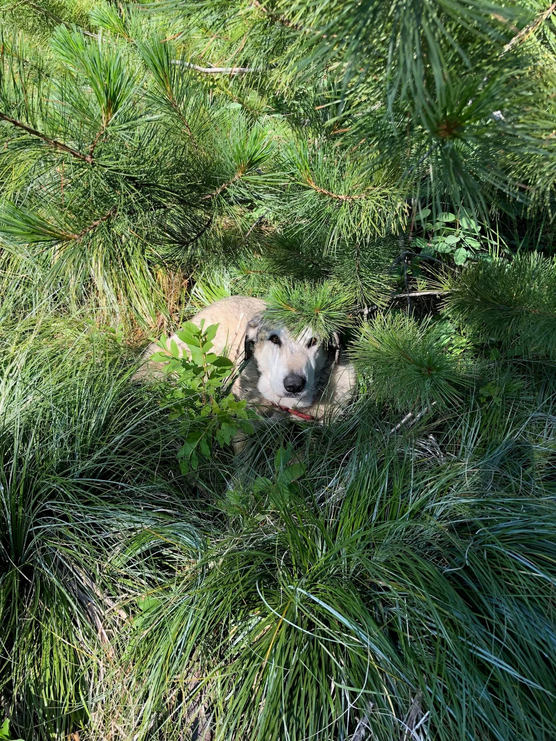 Q&A Can you bring a dog to Glacier National Park, and where can dogs go nearby? What the park allows, the one paved path dogs can walk, and the trails and lake spots outside it.
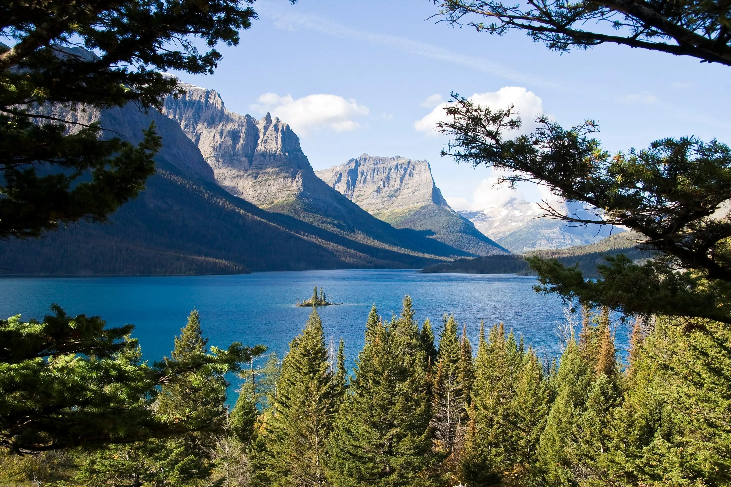 Itinerary How do you drive Going-to-the-Sun Road: which direction, how long, where to stop? Which way to go, the stops worth making and when to leave the lake.
Sources
- NPS: Apgar Bike Path (1.5 mi one way, 16 ft; leashed dogs when free of snow), last updated March 21, 2026; checked November 6, 2026
- NPS: Rocky Point Trailhead (0.7 mi loop, 224 ft gain), last updated March 30, 2026
- NPS: Hiking Lake McDonald (Johns Lake Loop 3 mi, 160 ft; other day hikes), last updated January 27, 2021
- NPS: Trail of the Cedars (0.9 mi loop, 83 ft, wheelchair-accessible), last updated March 2, 2026
- NPS: Avalanche Lake Trail (2.3 mi one way, 741 ft gain), last updated March 21, 2026
- NPS: Hidden Lake Trailhead (overlook 1.3 mi, 608 ft; lake 2.5 mi, 639 ft up and 921 ft down), last updated February 26, 2026
- NPS: Apgar Lookout Trailhead (3.6 mi one way, 1,966 ft), last updated March 4, 2026
- NPS: Visiting Logan Pass in 2026 and the Logan Pass Shuttle 2026 (stops; Avalanche not served)
- NPS: Pets in Glacier
- Drive times: OpenStreetMap routing (OSRM) from our door, checked November 6, 2026; free-flowing traffic, no stops