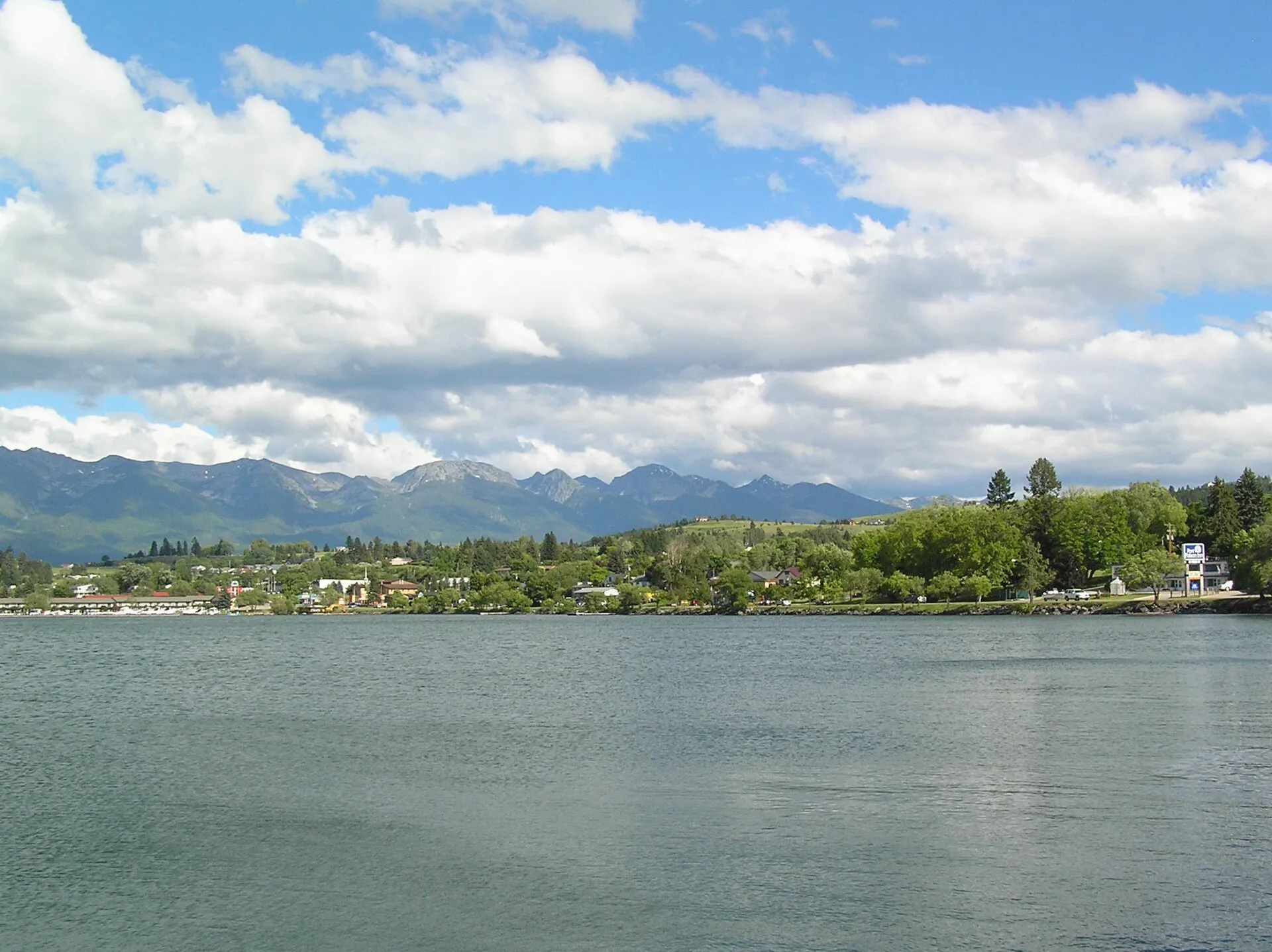

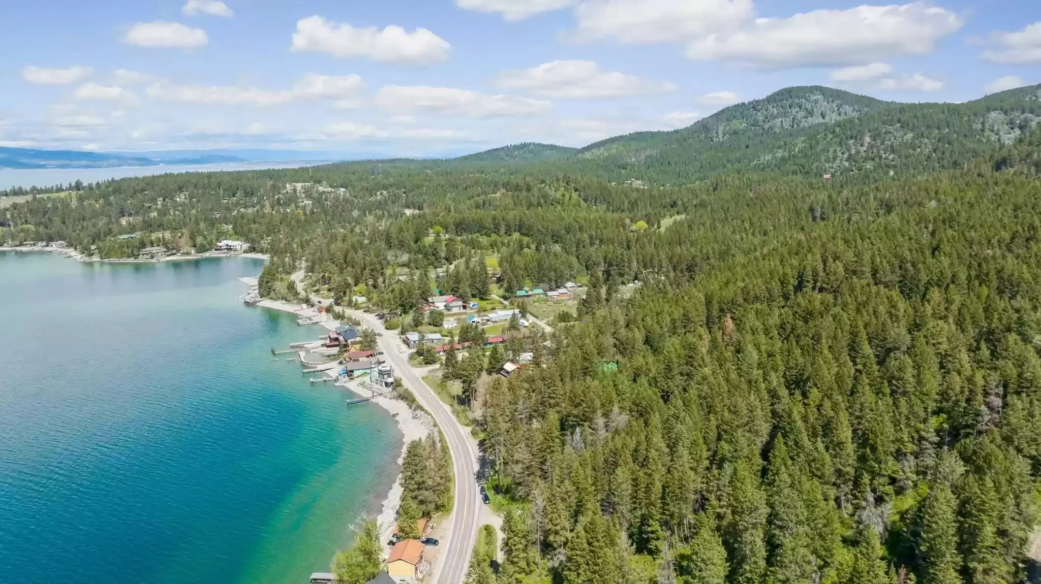
It's the day we suggest when guests want a break from Glacier, or the weather is better at the lake than in the mountains. You never lose sight of the water for long, and the two shores feel like different places: orchards and forest on the east, open grass hills and wide views on the west.
How long is the drive around Flathead Lake? The route, leg by leg
Distances and times are from our door, clockwise, without stops or summer traffic.
| Leg | This leg | From our door |
|---|---|---|
| Woods Bay (our door) to Polson | 28 mi · 46 min | 28 mi · 46 min |
| Polson to Elmo | 17 mi · 20 min | 45 mi · 1 hr 5 min |
| Elmo to Dayton | 5 mi · 8 min | 50 mi · 1 hr 15 min |
| Dayton to Lakeside | 15 mi · 19 min | 65 mi · 1 hr 35 min |
| Lakeside to Somers | 5 mi · 10 min | 71 mi · 1 hr 45 min |
| Somers to Woods Bay (via Bigfork) | 16 mi · 27 min | 87 mi · 2 hr 10 min |
Highway 35 is the slow half: two lanes, tight curves and slow traffic behind boat trailers in summer. US 93 is the main highway between Missoula and Kalispell, wider and busier. Fill up in Bigfork or Polson: the east shore has few services in between.
The east shore: Highway 35 to Polson
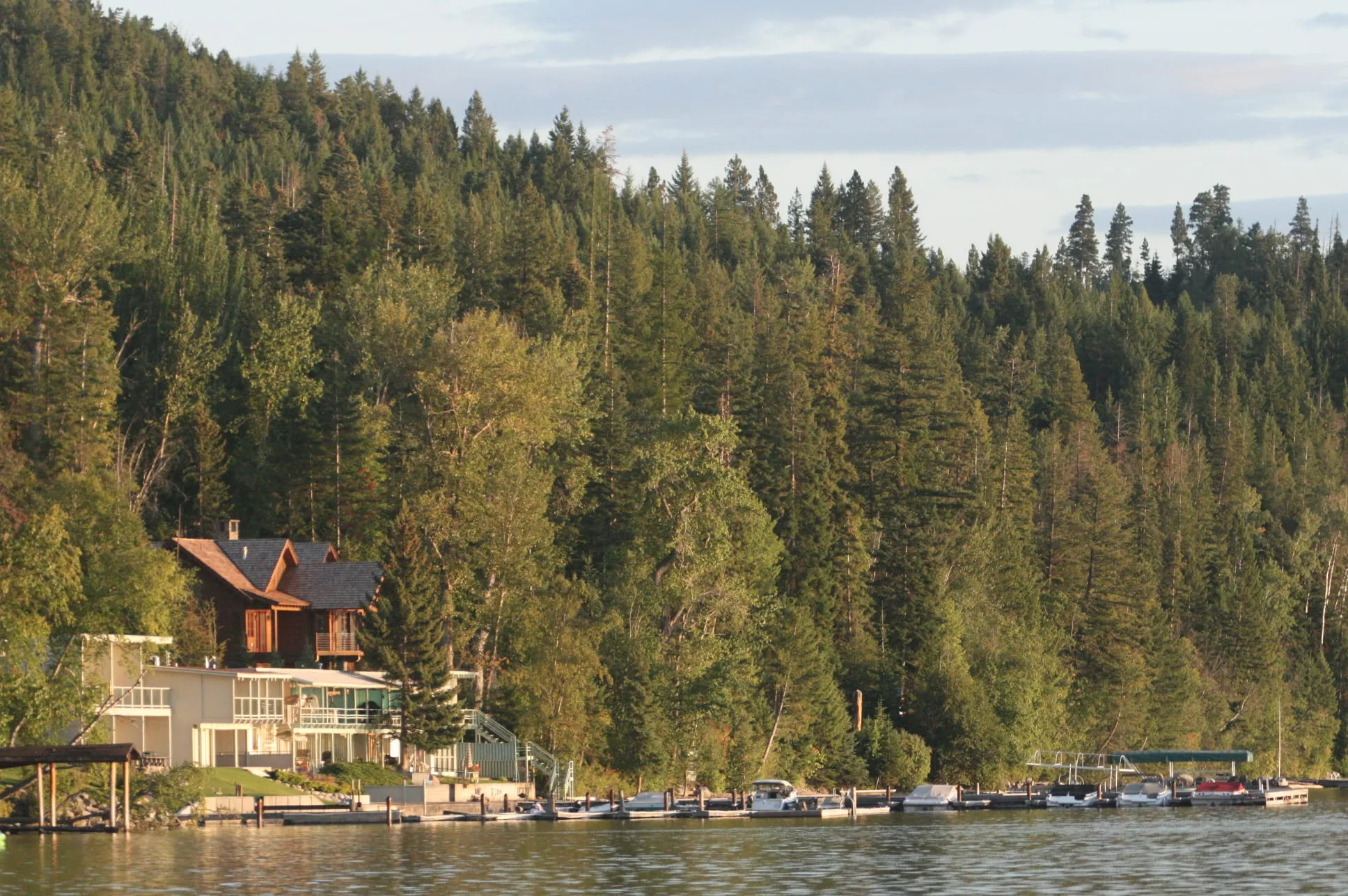
From Woods Bay, Highway 35 hugs the water for most of the way to Polson, 28.1 mi · 46 min south. It's the quiet side of the lake: cabins, small bays, forest down to the shore, and the orchards that grow Flathead cherries.
- Yellow Bay State Park, 8.5 mi · 15 min from us: a wide, gravelly beach by Yellow Bay Creek, good for a swim or a paddle. It's the first stop if the morning's warm.
- The cherry stands. In July, roadside stands along Highway 35 sell sweet cherries by the bag and the box. Our cherry season guide has the timing and the stands.
- Finley Point State Park, a short side road off the highway about 24 mi · 45 min from us: ponderosa pines, a beach and boat slips on a point reaching into the lake. It's open April to October.

Polson: lunch at the south end
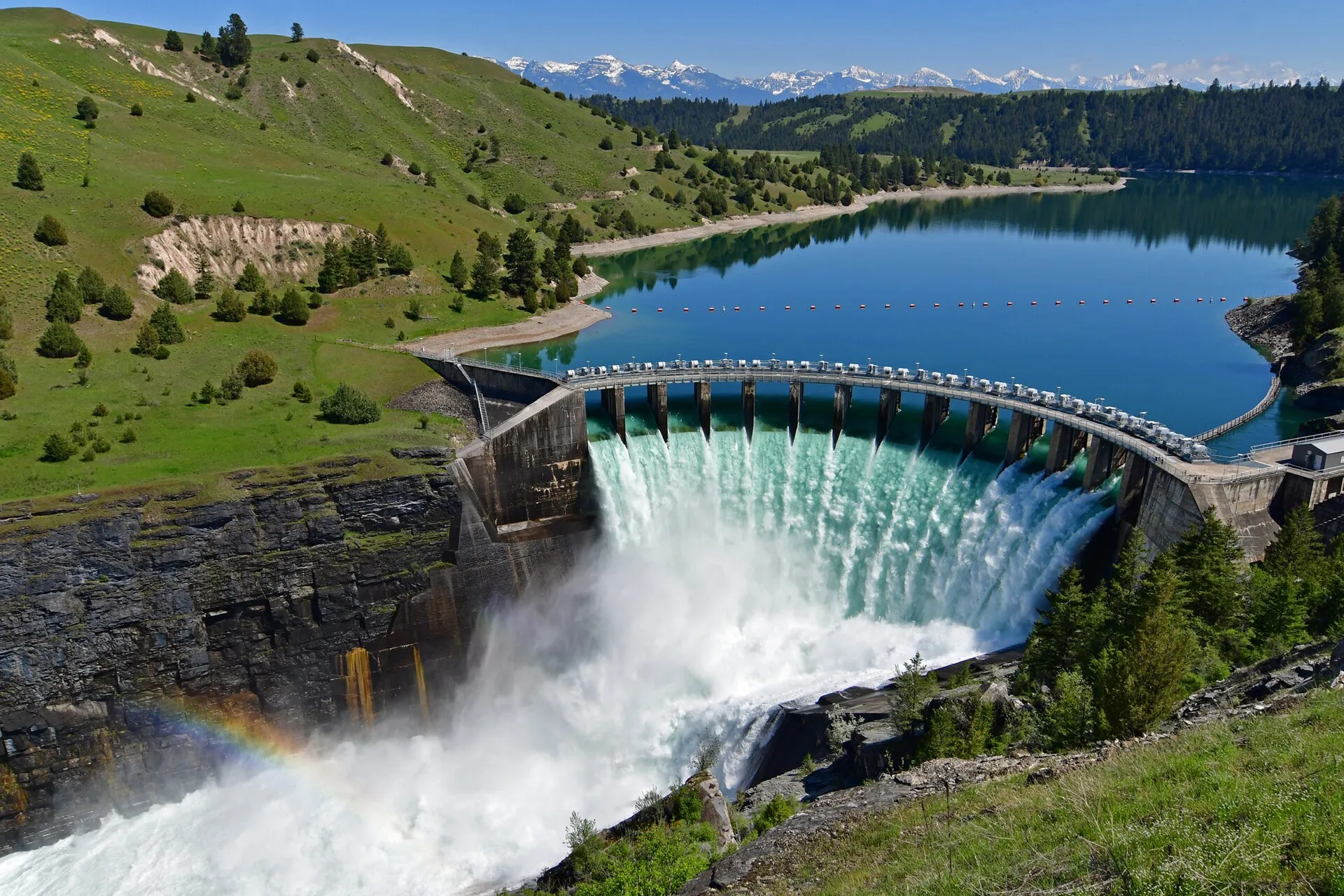
Polson sits at the bottom of the lake, where the Flathead River flows out. It's the biggest town on the loop, with places to eat, groceries and gas, a waterfront, and the junction where Highway 35 meets US 93. Just below town, the river runs through a gorge and the Séliš Ksanka Ql'ispé Dam, formerly Kerr Dam, now owned and run by the Confederated Salish and Kootenai Tribes.

If you have the whole day and want more than the lake, the Bison Range is about 42 min south of Polson. It's better as its own day than squeezed into the loop.
Yellow Bay for a swim at ten, cherries on the way, lunch in Polson, Big Arm in the afternoon, and dinner back in Woods Bay. Don't rush the west shore.
The west shore: Big Arm, Elmo and Dayton
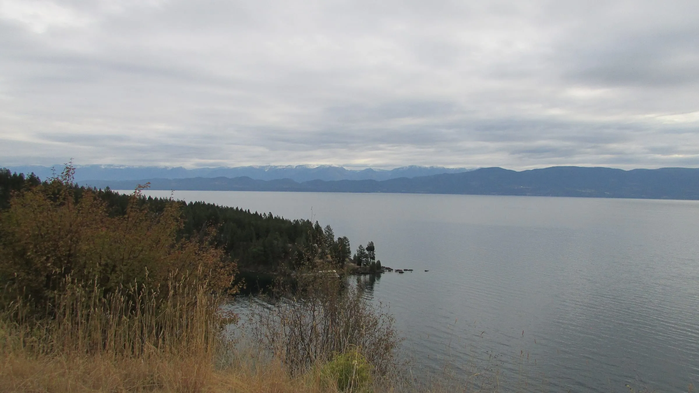
North of Polson, US 93 climbs onto open, grassy hills with long views back across the lake to the Mission Mountains and the Swan Range. It's a different lake from this side: bigger skies, fewer trees, and the islands spread out in front of you.
- Big Arm State Park, 15 miles north of Polson on Big Arm Bay: a long pebble beach popular with swimmers, a hiking trail with lake views, and a boat launch. It's the usual starting point for Wild Horse Island, the large island just offshore.
- Elmo and Dayton, 17 miles past Polson and 5 miles apart: two small towns on the shore, quiet stops with views of Wild Horse Island and the smaller islands.
- The Deep Bay overlook, a pullout on US 93 south of Lakeside, looks down over the lake's west shore.

Lakeside, Somers and back to Bigfork
- West Shore State Park, 6 miles south of Lakeside: forested shore, rocky outcrops and short hiking trails, with views across to the Swan and Mission ranges. Day use runs 7 AM to 10 PM.
- Lakeside, the west shore's busiest lake town, with restaurants and marinas along the highway. A good place for a coffee or an early dinner.
- Somers, at the north end of the lake, 5 miles past Lakeside. Somers Beach State Park is day-use only, sunrise to sunset, with a sandy beach when the lake is low.
From Somers, MT 82 crosses the Flathead River near where it enters the lake and meets Highway 35 just north of Bigfork. From Somers it's 16 miles back to our door. If you're staying with us, dinner is a walk away: our restaurant guide has the three Woods Bay places.

When to drive around Flathead Lake
June through September is the sweet spot: long days, warm water for a swim, and everything open. July adds the cherry stands. In spring and early fall the drive is quieter, and the views are as good, but some campgrounds and docks run on shorter seasons: Finley Point, for example, is open April to October, and FWP says the Wayfarers and Finley Point docks are usable only when the lake is high, usually mid-June to early September. Wildfire smoke can flatten the views in late summer; our smoke guide has where to check.
State parks charge non-residents $8 per vehicle for the day (FWP, as of November 2026), so if you'll stop at five or more parks in a week, the $35 seven-day nonresident pass, sold at the parks, pays for itself.
For which shore to stay on, see east shore vs west shore. For swimming spots on the way, see our beaches guide.
Questions people also ask
How many miles is it around Flathead Lake?
About 87 miles from our door in Woods Bay and back, by Highway 35 down the east shore, US 93 up the west shore, and MT 82 across the north end to Bigfork. Without stops it's about 2 hr 10 min of driving.
Which way round should you drive the lake?
Either works. We send guests south first on Highway 35: the east shore's orchards and bays are best in the morning, Polson is the natural lunch stop, and you come back up the open west shore in the afternoon. Going the other way puts you on Highway 35 in the evening, with the low sun on the water.
Can you see Wild Horse Island from the road?
Yes, from the west shore between Big Arm and Dayton: it's the big island just offshore. Getting onto it takes a boat. Our Wild Horse Island guide covers tours, rentals and the rules.
Is the drive around Flathead Lake on tribal land?
The south half of the lake, including Polson, Big Arm, Elmo, Yellow Bay and Finley Point, is on the Flathead Reservation of the Confederated Salish and Kootenai Tribes. The roads and state parks are open to everyone, but FWP notes that recreation on tribal land outside the parks needs a tribal recreation permit, and fishing the south half of the lake needs a tribal license (FWP).
Can you add the Bison Range to the loop?
Yes, as a detour from Polson: the Bison Range visitor center is about 42 min south of town, and its scenic drive takes another one to two hours. That makes for a long day, so many people do it as its own trip. See our Bison Range guide.
Keep planning
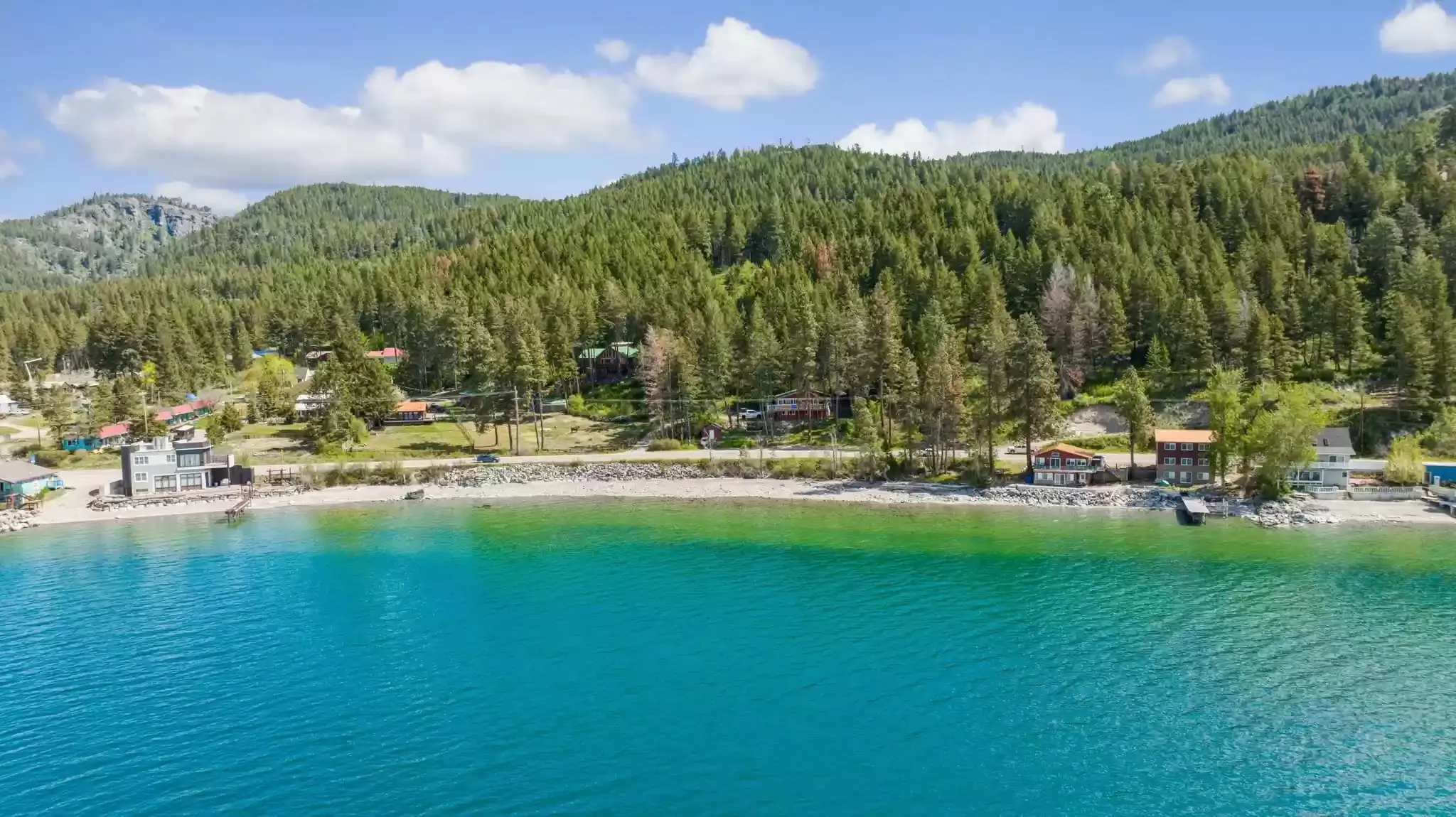 Place guide Where can you swim on Flathead Lake? Beaches, public access and water temperature The east-shore swims near us, what the state parks charge, and how cold the water really is.
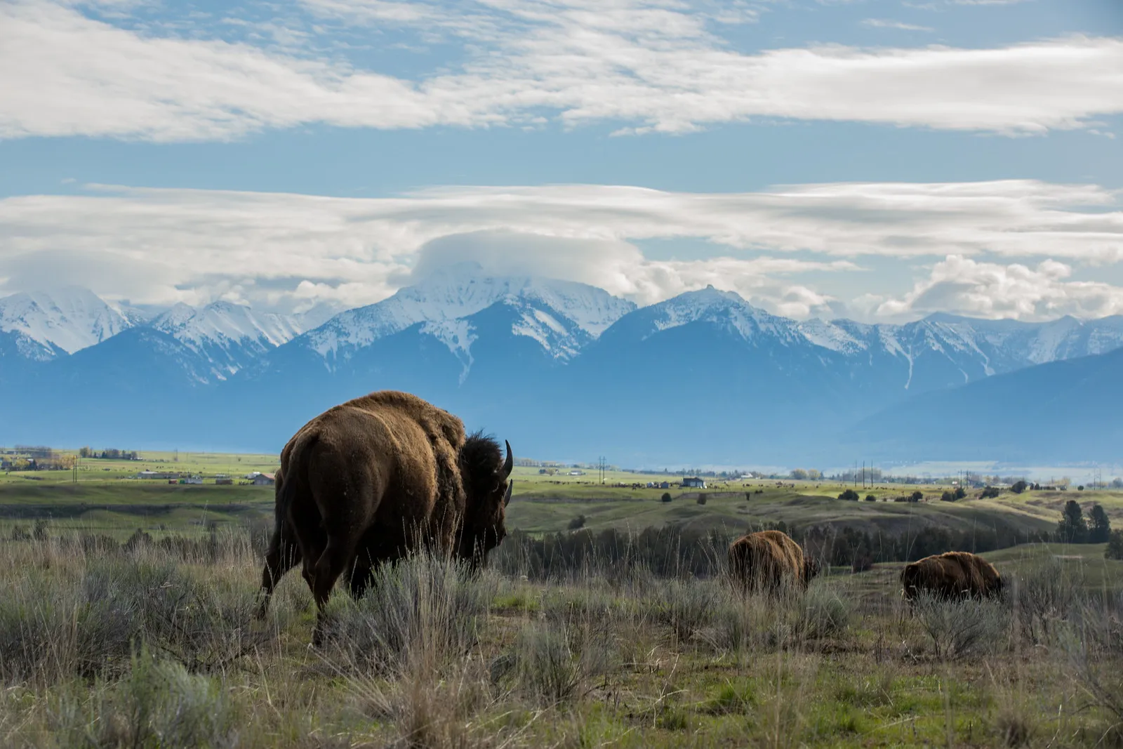 Place guide Is the National Bison Range worth a day trip from Flathead Lake? Bison, elk and the Mission Mountains south of the lake: when the Red Sleep drive is open, what it costs, the rules.
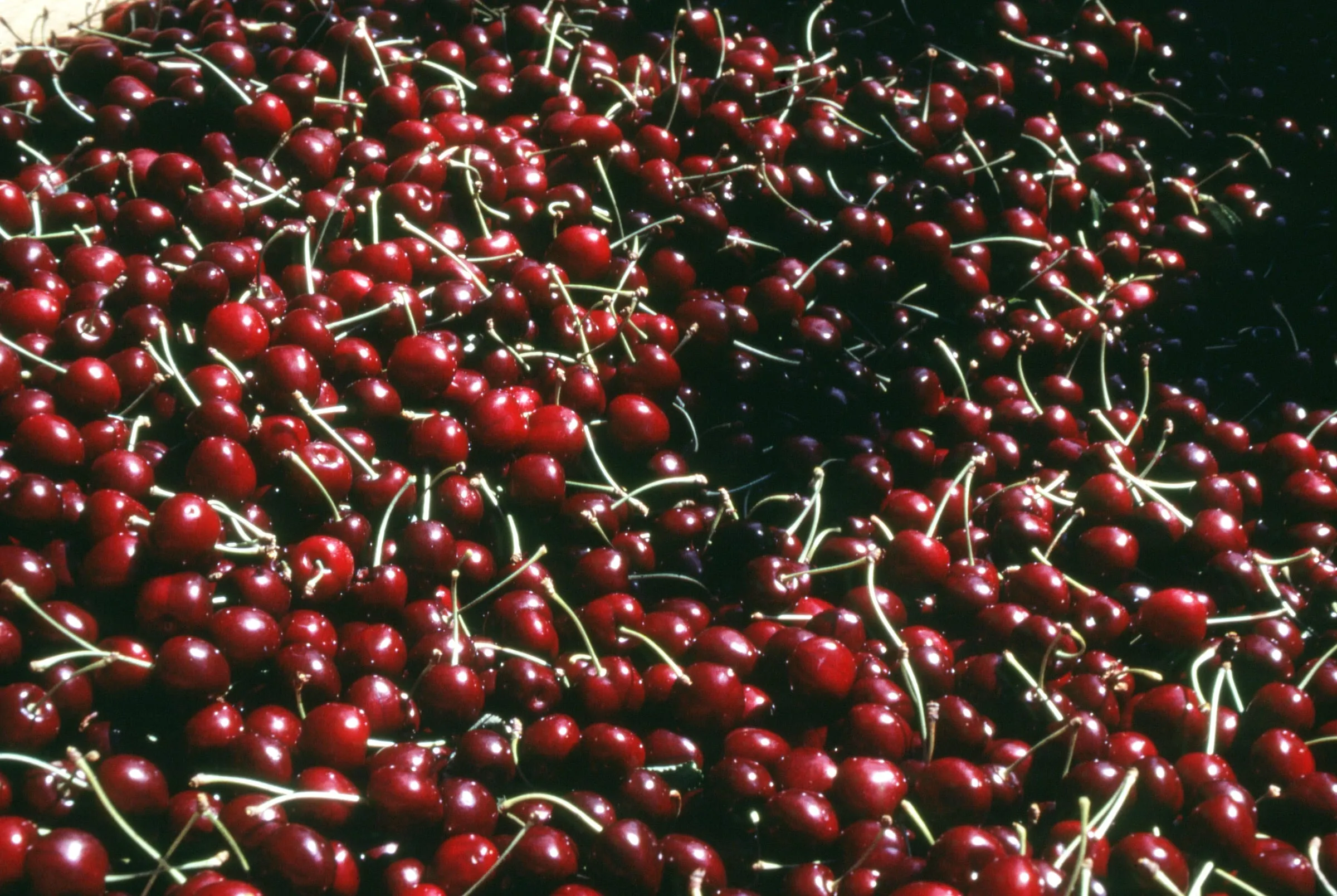 Seasonal When is Flathead cherry season, and where are the fruit stands? Mid-July to mid-August, on the road past our door. What to know before you stop.
 Comparison Which side of Flathead Lake is better to stay on? Bigfork and the orchards or Lakeside and Big Arm: how the two shores really differ, with drive times.
Sources
- Drive times: one OpenStreetMap routing (OSRM) call with waypoints, November 6, 2026; free-flowing traffic, no stops
- Montana FWP: Yellow Bay unit of Flathead Lake State Park
- Montana FWP: Finley Point unit (open April–October)
- Montana FWP: Big Arm unit (15 miles north of Polson; Flathead Reservation permits)
- Montana FWP: West Shore unit (6 miles south of Lakeside)
- Montana FWP: Somers Beach State Park (day use, sunrise to sunset)
- Montana FWP: State Parks fees and general information (day-use fees), checked November 6, 2026