
A lot of our guests drive in from the Pacific Northwest, and the question we get most is which way to come. There are three good answers. Here's how they compare, with drive times checked from our door, and where Flathead Lake fits.
What's the best route from Seattle or Spokane to Glacier?
Everyone starts the same way: I-90 from Seattle to Spokane. From there you choose. Times are driving only, with no stops or traffic, and they include none of the summer construction you'll almost certainly meet.
| Route | Spokane to Woods Bay | Seattle to Woods Bay | What it's like |
|---|---|---|---|
| I-90 + MT-135, MT-200, US 93 | 236 mi · 5 hr 5 min | 515 mi · 10 hr 5 min | The quickest. Interstate to St. Regis, then two-lane river valleys and the Flathead Reservation |
| US 2 (Sandpoint, Libby, Kalispell) | 272 mi · 5 hr 40 min | 550 mi · 10 hr 45 min | Lakes and forest across the Idaho Panhandle and the Kootenai country; long quiet stretches |
| I-90 to Missoula, then US 93 | 292 mi · 5 hr 35 min | 571 mi · 10 hr 40 min | The most miles but the biggest roads, with a city halfway up for food and gas |
If you're heading straight for the park, Spokane to West Glacier is about 5 hr 45 min the I-90 way (up the west shore of the lake) and 5 hr 50 min on US 2. That's close enough that the scenery should decide it.
Seattle to Spokane: I-90 or US 2 across Washington?
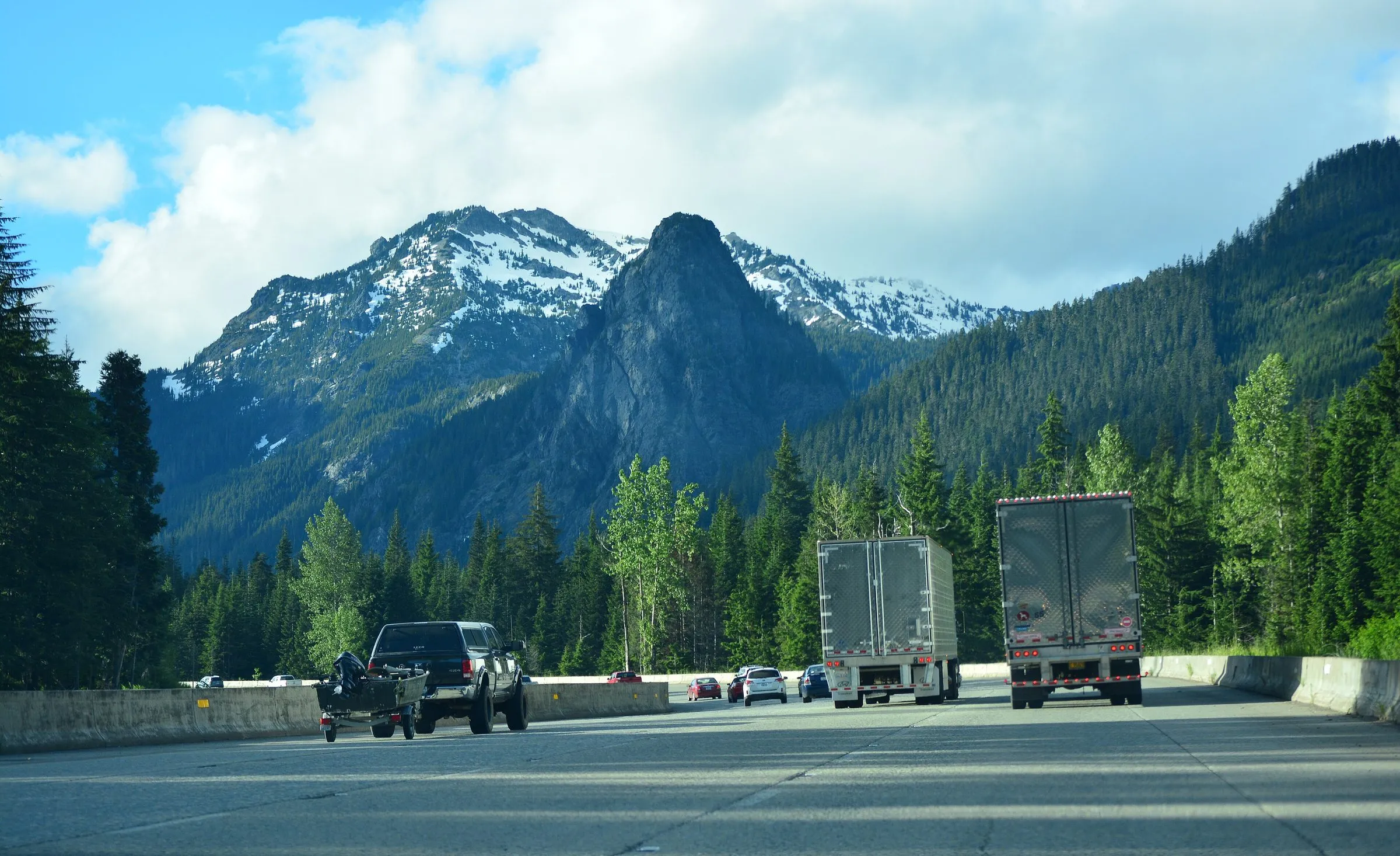
Take I-90 over Snoqualmie Pass: 280 mi · 5 hr 10 min to Spokane. US 2 over Stevens Pass, through Leavenworth, Wenatchee and the wheat country, is 298 mi · 6 hr 55 min, nearly two hours slower. It's a lovely drive if you have the day, but most people save US 2 for the Montana half. Both passes can get snow in spring and fall; WSDOT posts live pass conditions.

The fastest way: I-90 and the Clark Fork
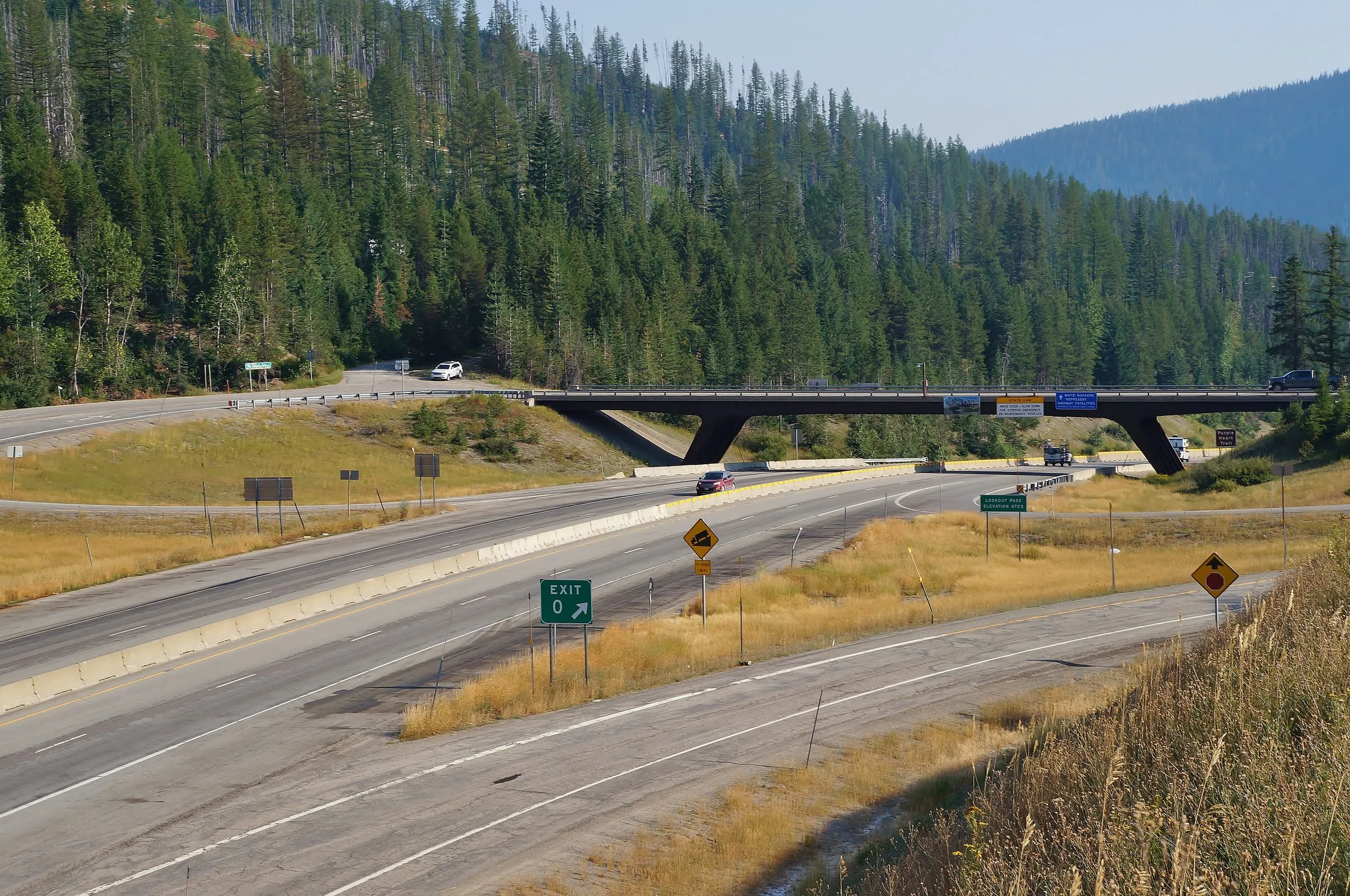
From Spokane, stay on I-90 east through Coeur d'Alene and over Lookout Pass into Montana, where the clock jumps an hour ahead. Leave the interstate at St. Regis (110 mi · 2 hr 40 min from our door) and take MT-135 along the St. Regis and Clark Fork rivers to MT-200.
From there, routing tools split two ways that are within minutes of each other:
- To Flathead Lake's east shore (and us): MT-200 east to Ravalli, then US 93 north through the Mission Valley, under the Mission Mountains, to Polson. Then MT-35 up the east shore, 28 mi · 45 min from Polson to our door.
- Straight to the park: MT-28 from Plains, through Hot Springs to Elmo on the lake, then US 93 up the west shore. That's the way OSRM sends Spokane traffic to West Glacier.
Both are two-lane highways through ranch country and the Flathead Indian Reservation, home of the Confederated Salish and Kootenai Tribes. Watch for deer and slow farm traffic, especially at dusk.

The scenic way: US 2 through Sandpoint and Libby
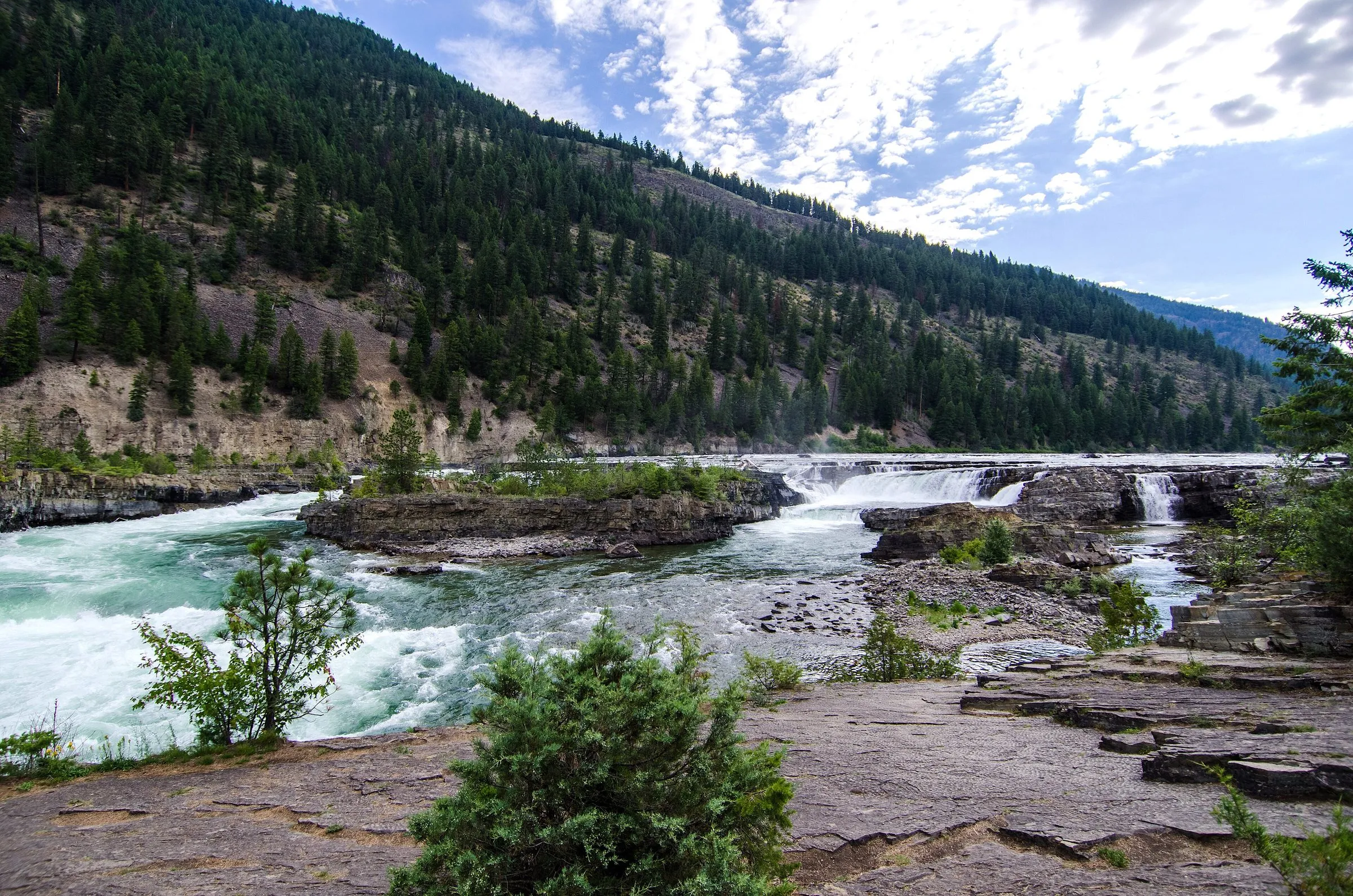
US 2 leaves Spokane to the northeast, crosses into Idaho at Newport and follows the Pend Oreille River to Sandpoint on Lake Pend Oreille. It then runs north to Bonners Ferry, east into Montana near Troy, and along the Kootenai River to Libby. Between Troy and Libby, Kootenai Falls is a short walk from a parking area on the highway, and it's the best stop on the route.
From Libby it's 89 mi · 1 hr 45 min through forest and ranch land to Kalispell, with very little in between. From Kalispell, it's 23 mi · 35 min south on MT-35 to us, or US 2 east to West Glacier. Spokane to Woods Bay this way is 272 mi · 5 hr 40 min, about 35 minutes longer than the I-90 route.
Interstate to St. Regis, then the river roads. Come up the east shore from Polson, and if it's July, stop at a cherry stand on the way.
The big-road way: via Missoula
Stay on I-90 all the way to Missoula, then take US 93 north through Evaro and the Mission Valley to Polson. Missoula to our door is 94 mi · 2 hr 5 min. It's the longest route in miles (292 mi · 5 hr 35 min from Spokane), but it's interstate for all but the last two hours, and Missoula has everything a city has. Take it in bad weather, after dark, or if you want a stop in town. It's also the way in if you're coming from Yellowstone; see our Yellowstone to Glacier road trip.
Where does Flathead Lake fit?
It's on the way. Driving Spokane to West Glacier the fast way takes you within a few miles of the lake anyway: going Spokane to Woods Bay to West Glacier adds only about 7 miles over driving straight to the park. So a night on the lake doesn't cost you a detour, and after a long day in the car it's better than another hour on the road.
- The east shore (MT-35): Polson to Bigfork, past cherry orchards and the fruit stands that open in July (see Flathead cherry season), the state parks and our door in Woods Bay.
- The west shore (US 93): Polson to Somers, the faster highway and the direct way to Kalispell and Whitefish. Our east vs west shore guide compares them.
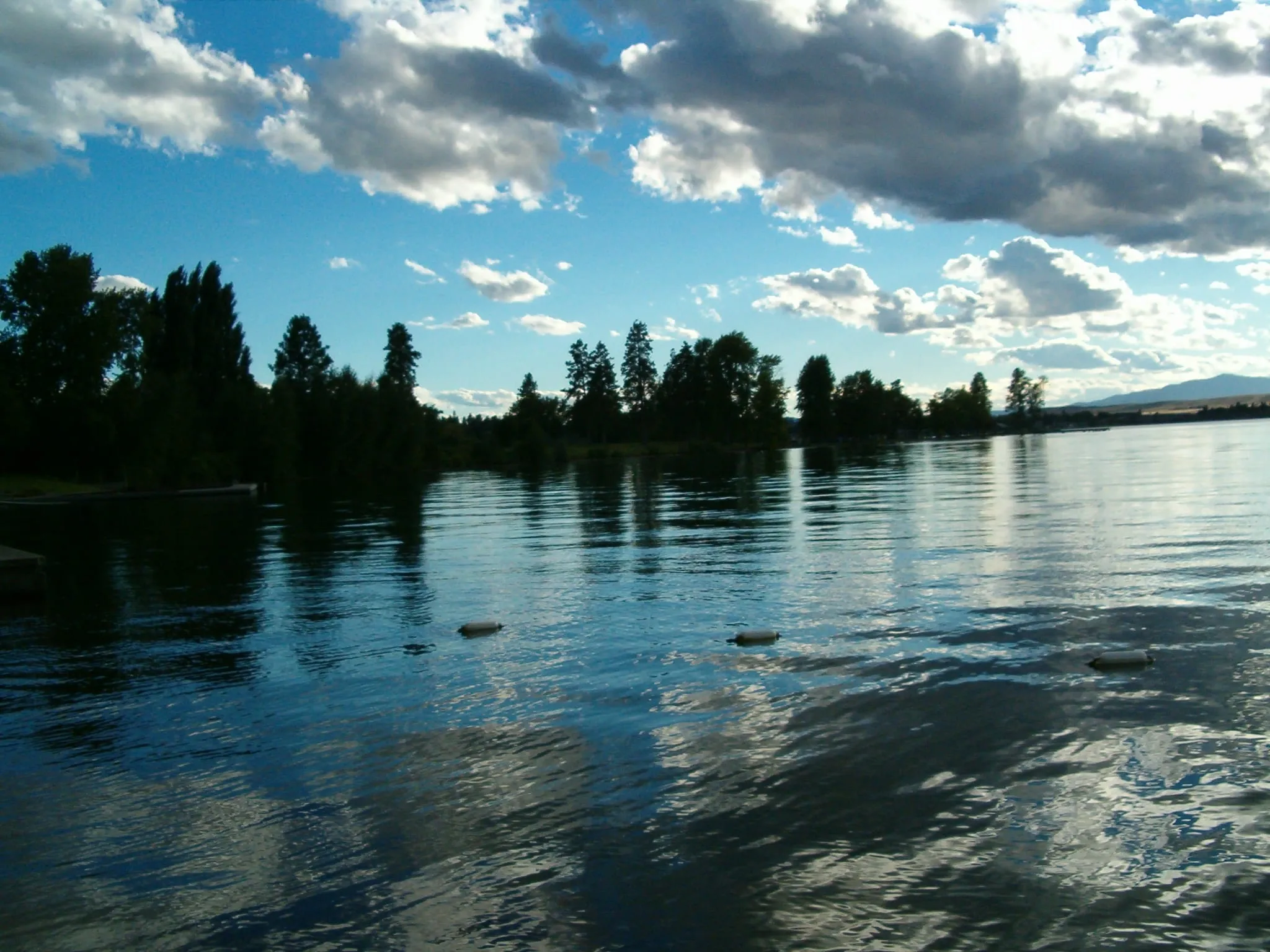

From Woods Bay, West Glacier is 44 mi · 50 min, so your first park morning is easy. See how far Bigfork is from Glacier for the rest of the park.
Gas, food and service gaps
None of these routes is remote by Montana standards, but there are stretches where you'll want a full tank. As of 2026, here's what we'd tell a guest:
- I-90 and MT-135: fill up in Coeur d'Alene or at St. Regis before you leave the interstate. Towns along MT-135, MT-200 and US 93 are small and far apart until Polson, and small-town stations may close early.
- US 2: Sandpoint, Bonners Ferry and Libby have everything. The 89 miles from Libby to Kalispell have very little, so fill up in Libby.
- Via Missoula: services all the way.
- Phone signal: don't count on it in the river canyons. Download your map before you leave Spokane.
- Road work and closures: summer is construction season, and wildfires can close highways in August. Check Montana 511 and Idaho 511 on the morning you drive. If smoke is the worry, see our smoke guide.
Breaking up the drive from Seattle
Seattle to Flathead Lake is about 10 hr 5 min of driving, and you lose an hour at the Montana line. You can do it in a day if you leave early, but we'd split it:
- Spokane or Coeur d'Alene for the night, then 5 hr 5 min the next day. You'll reach the lake by mid-afternoon.
- Sandpoint if you're taking US 2: it's a lake town, and it leaves 4 hr 5 min for day two.
If you're arriving late, our check-in is self check-in from 3 PM, with arrival details by text, so there's no front desk to beat. In summer, The Sitting Duck serves dinner every night, a short walk away, and its beach and dock are across the road. On the trip home, the same routes work in reverse: you gain the hour back.
Flying instead? Our guide to getting here covers the airports and the train.
Questions people also ask
Is US 2 or I-90 faster from Spokane to Glacier?
To Flathead Lake, I-90 is faster: about 5 hr 5 min from Spokane to Woods Bay, against 5 hr 40 min on US 2. To West Glacier it's close to a tie (5 hr 45 min the I-90 way, 5 hr 50 min on US 2), so pick US 2 if you'd rather have the scenery and the small towns.
Can you drive from Seattle to Glacier in one day?
Yes, if you start early: it's about 515 miles and 10 hr 5 min of driving to Woods Bay, before stops, and an hour is lost to the time change. Most people find it a long, tiring day. Splitting it in Spokane or Coeur d'Alene leaves you about 5 hr 5 min for day two, and you arrive with the afternoon to spare.
Is there a time change between Seattle and Glacier?
Yes. Washington and the Idaho Panhandle are on Pacific time, and Montana is on Mountain time, an hour ahead. You change at the Idaho–Montana line: at Lookout Pass on I-90, or just west of Troy on US 2. Driving east, you lose the hour.
Do you have to go through Kalispell to get to Glacier?
Only on US 2. The I-90 routes come up US 93 to Polson, at the south end of Flathead Lake, and you can take either shore north. The east shore, MT-35, passes our door in Woods Bay, then crosses MT-206 to US 2 near Columbia Falls without going through Kalispell itself.
Which route is best in bad weather or after dark?
The Missoula route: I-90 the whole way to Missoula, then US 93, which is a busier highway with more towns. It adds miles but has the most services. Whichever way you go, check Montana's 511 and WSDOT's pass reports before you leave, especially in May or October, when the passes can see snow.
Keep planning
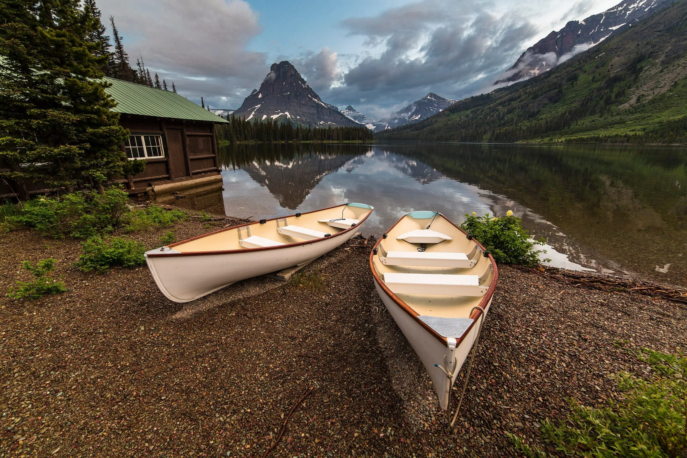 Q&A How far is Bigfork / Woods Bay from Glacier National Park? One checked table from our door to every entrance, lodge, airport and town.
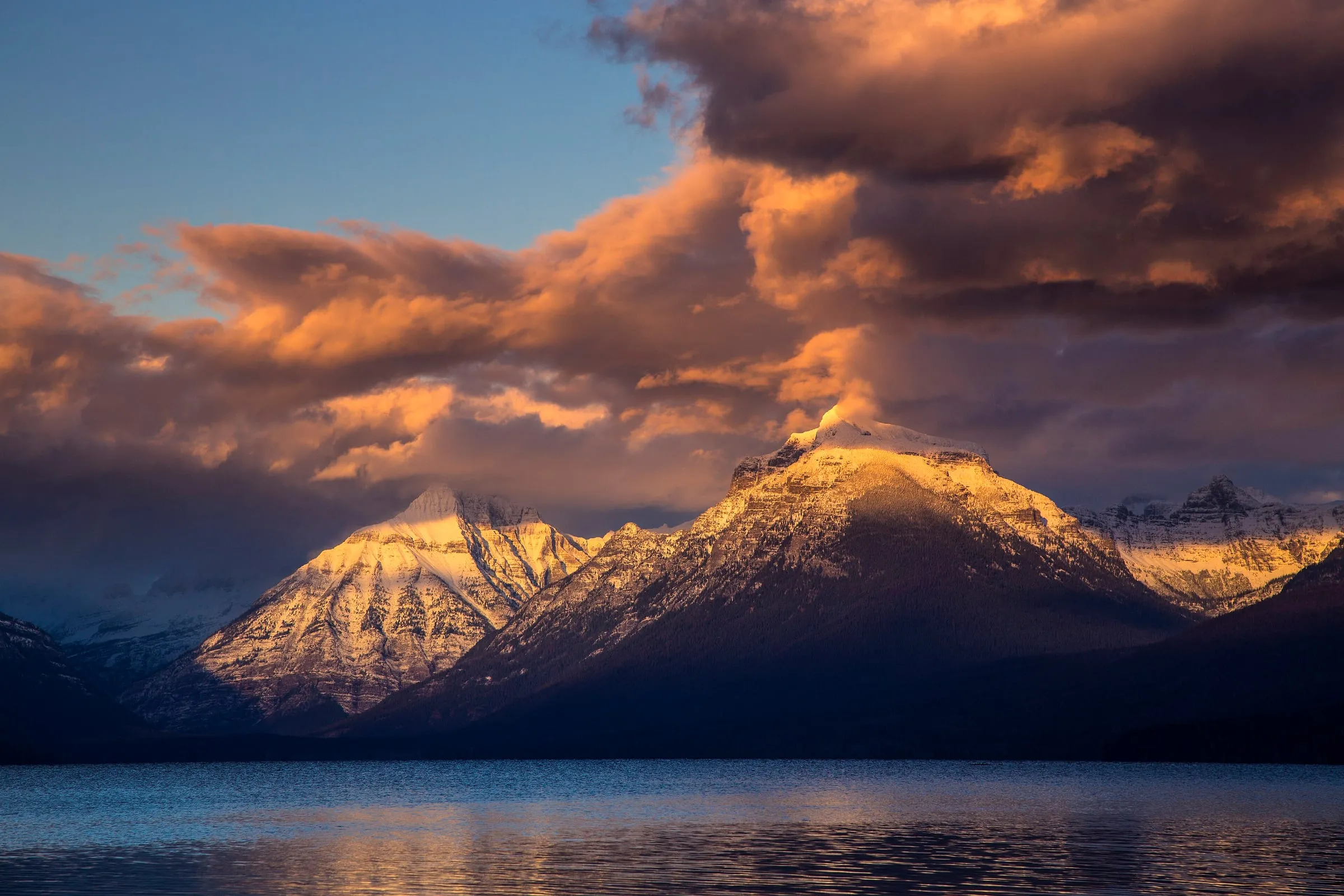 Comparison Where should you stay for Glacier National Park? Every base town, with checked drive times to the park and honest trade-offs.
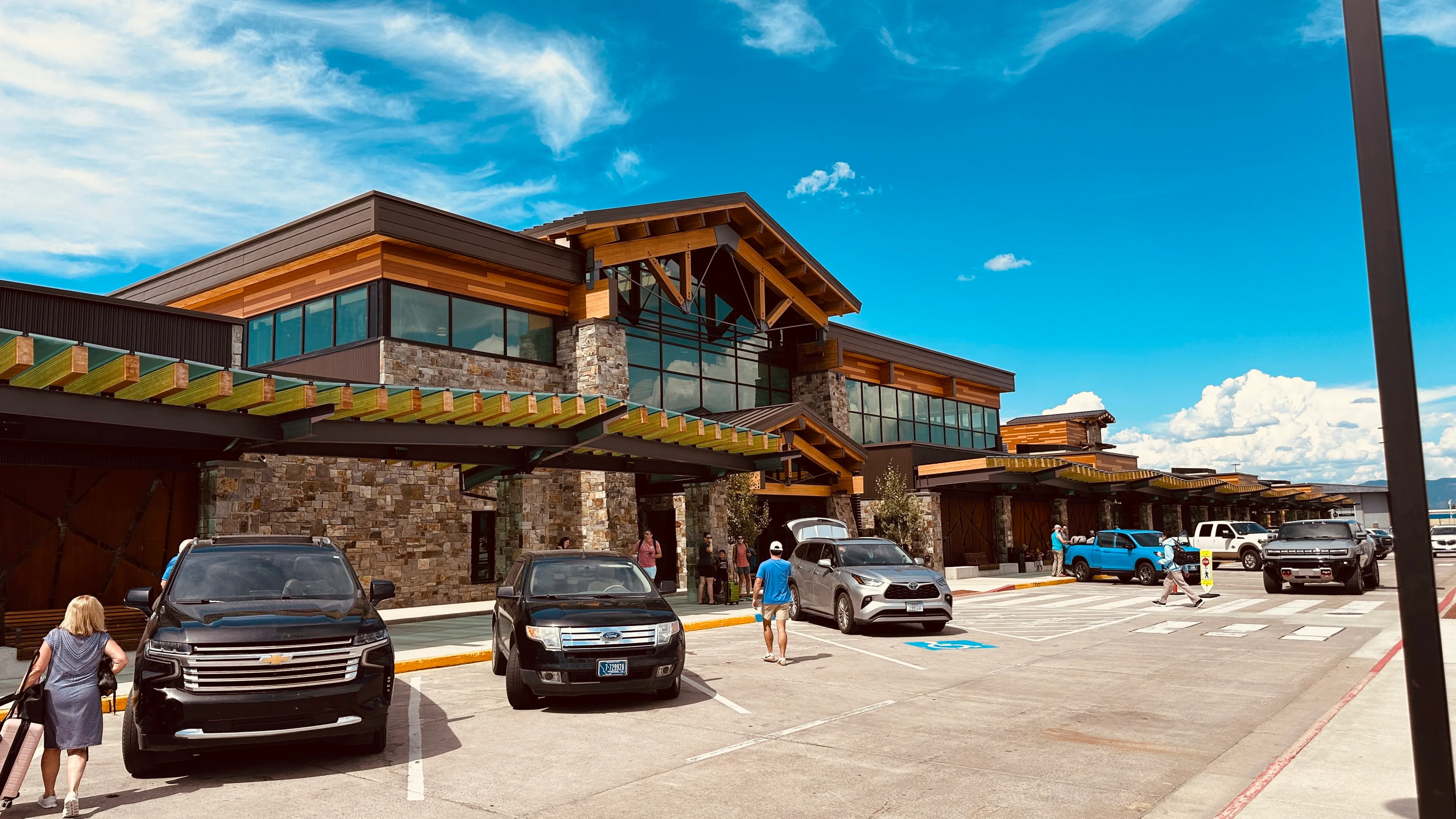 Q&A How do you get to Glacier and Flathead Lake: which airport, the train, and do you need a car? FCA, Missoula, Spokane, Calgary and the train, with drive times to our door.
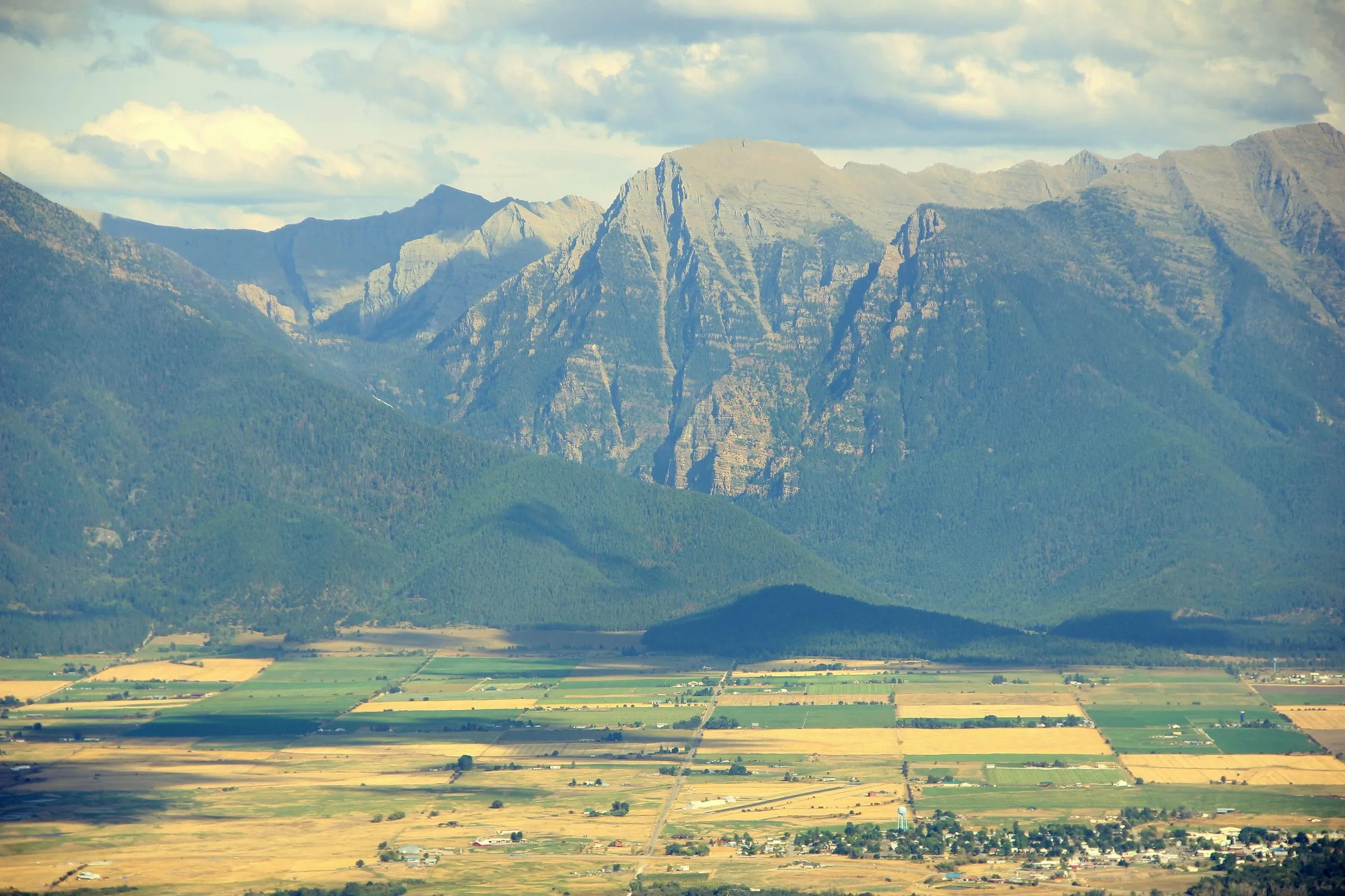 Itinerary How do you road-trip from Yellowstone to Glacier, and where should you stop? Two routes north, the stops on US 93, and why the last night before the park is on the lake.
Sources
- Drive times: OpenStreetMap routing (OSRM), checked November 6, 2026; free-flowing traffic, no stops
- Montana Department of Transportation: 511 road conditions and closures
- WSDOT: mountain pass reports (Snoqualmie and Stevens passes)
- Idaho Transportation Department: 511 road conditions
- NPS: Directions to Glacier National Park